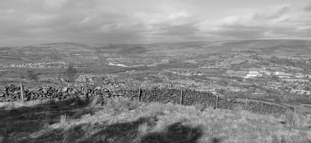


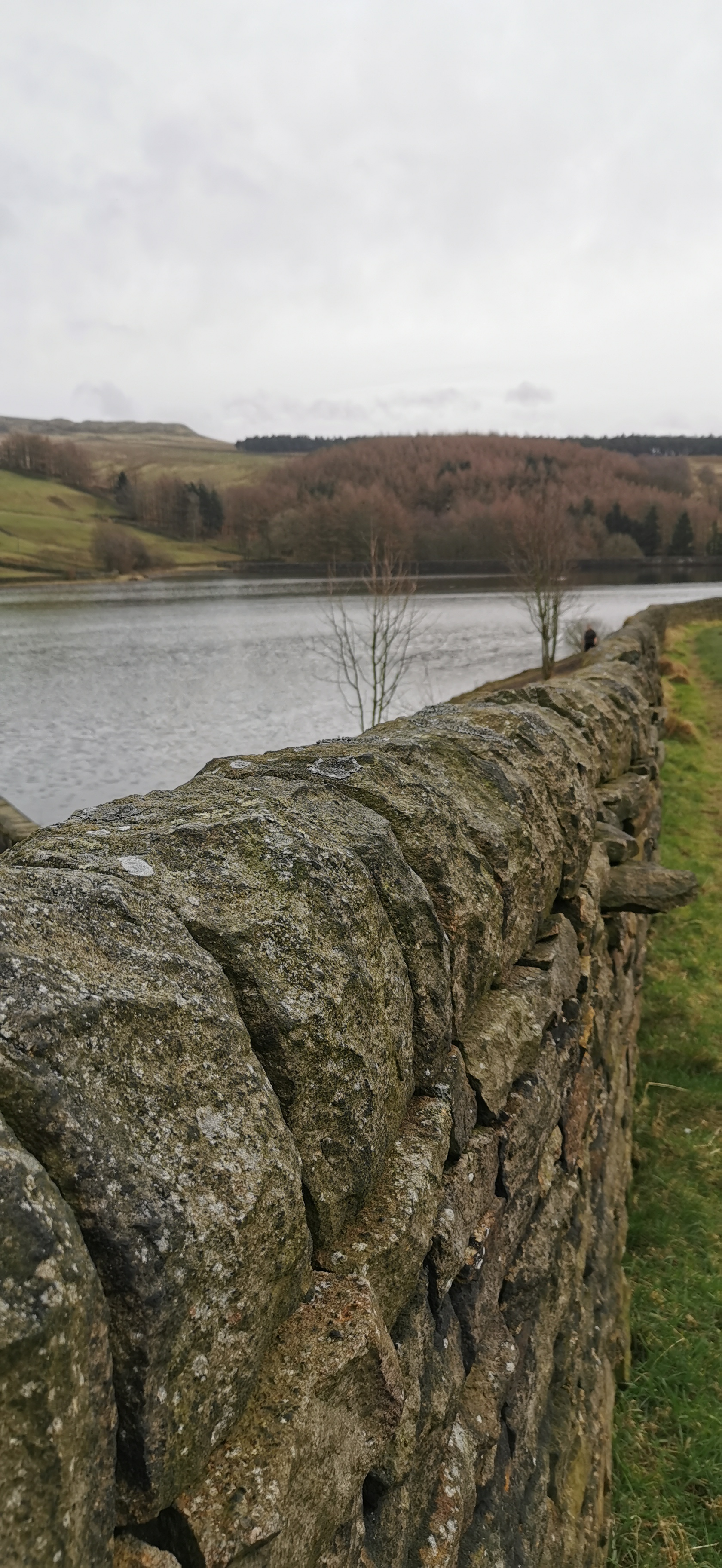
Opposite Allmans Heath Cottages follow the public footpath east towards Swineshaw Reservoir, following the dry-stone wall, the reservoir is enclosed by another dry-stone wall, follow the wall (south-east or anti-clockwise) around the reservoir.
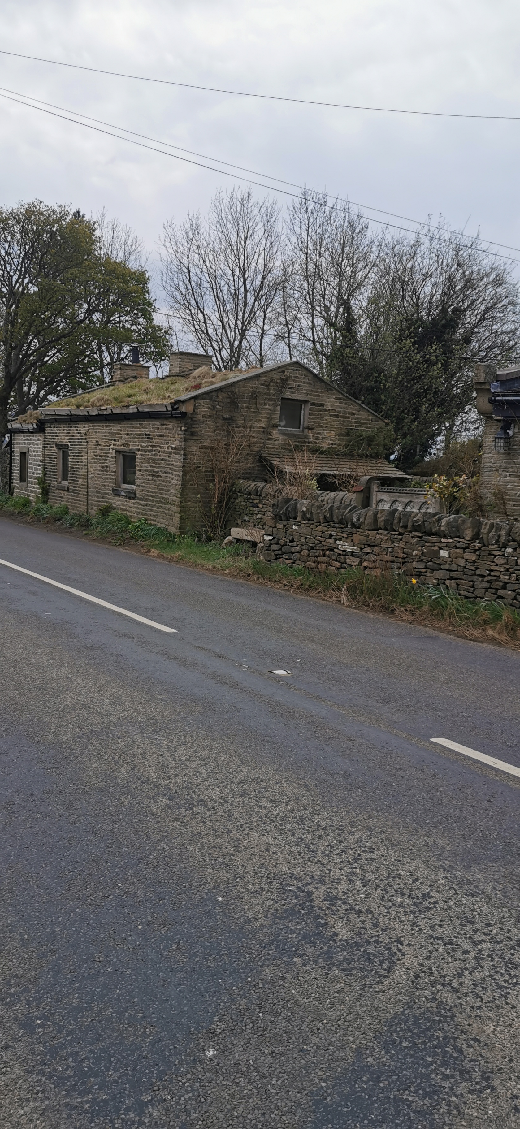
Allmans Heath Cottages are now holiday lets, the converted Smithy has a grass heather and bilberry roof. The adjacent house is also a holiday let The Byre, a byre being a shelter for cows.
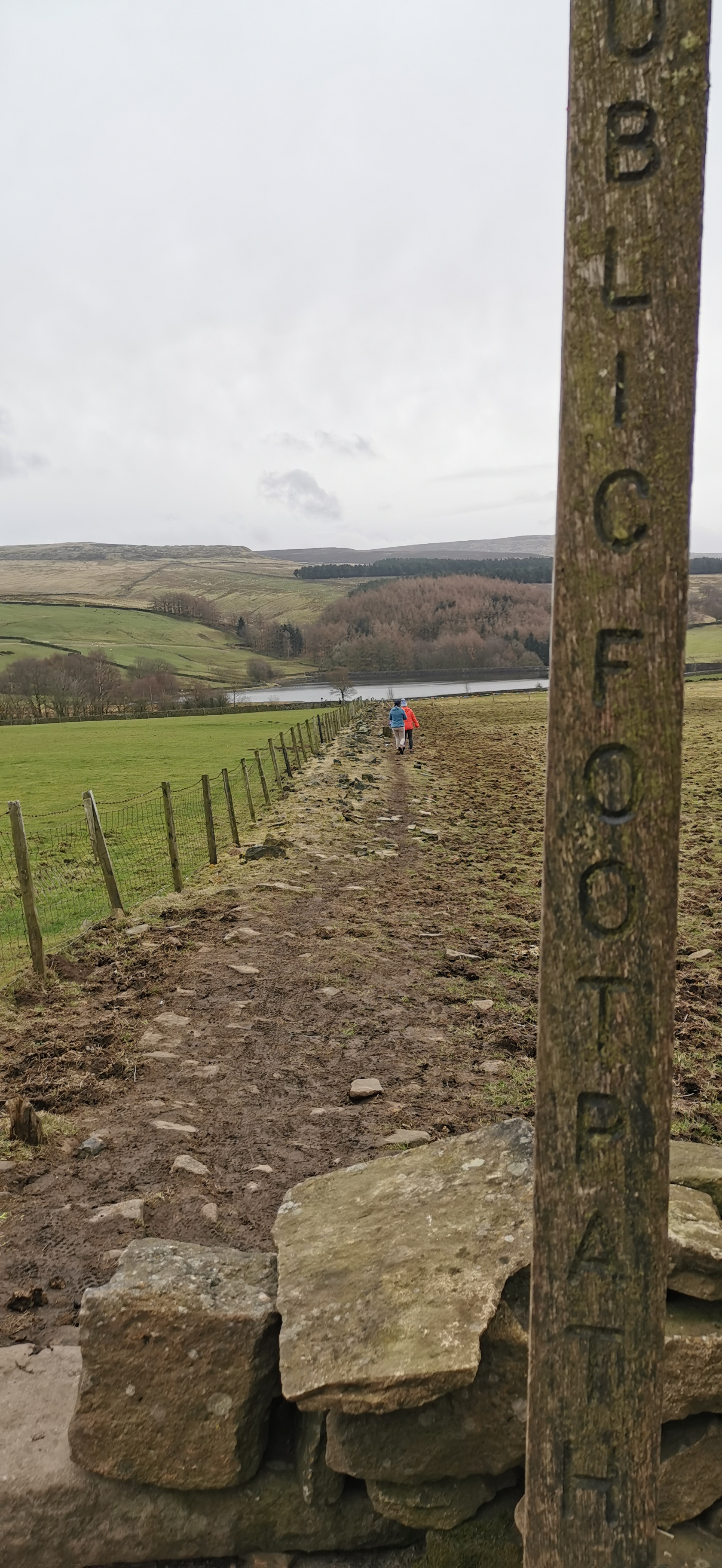
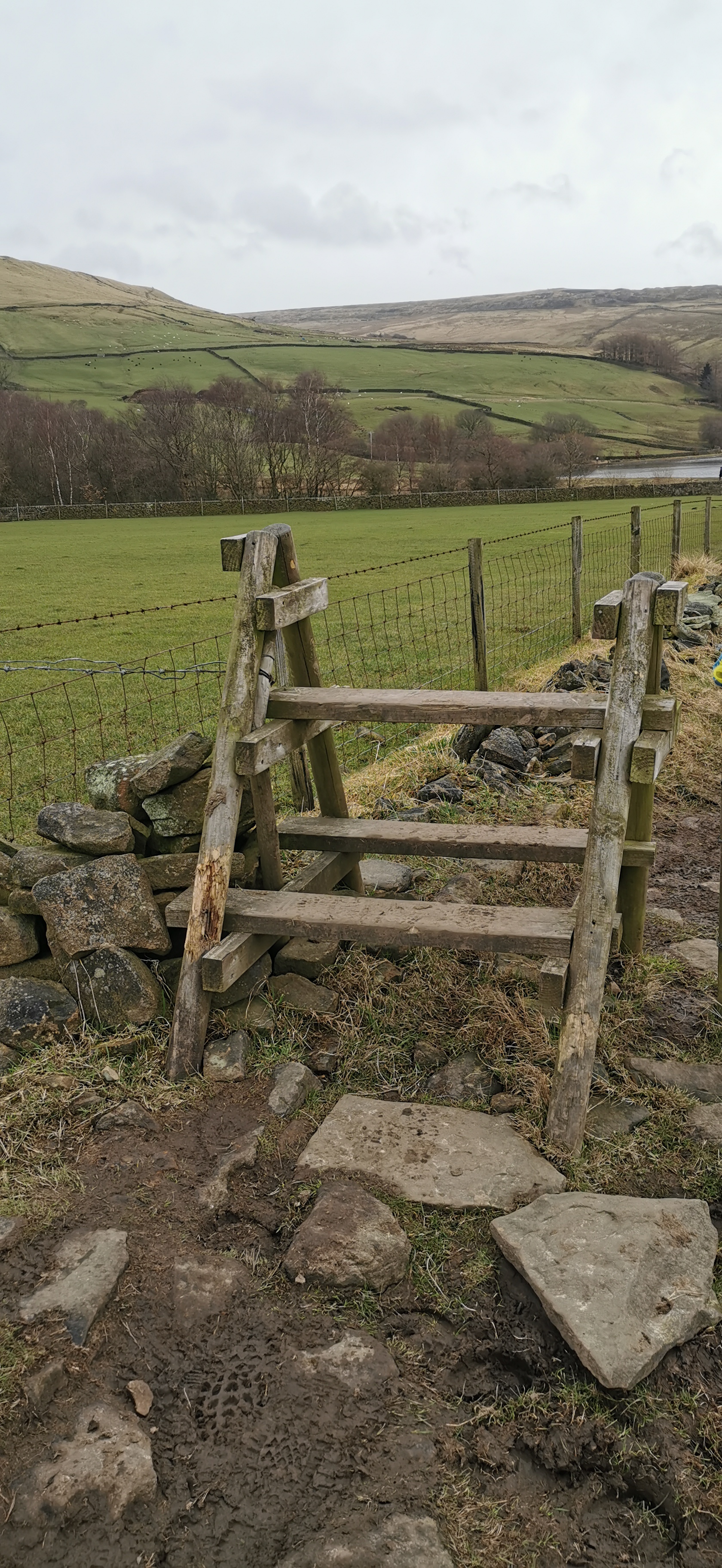
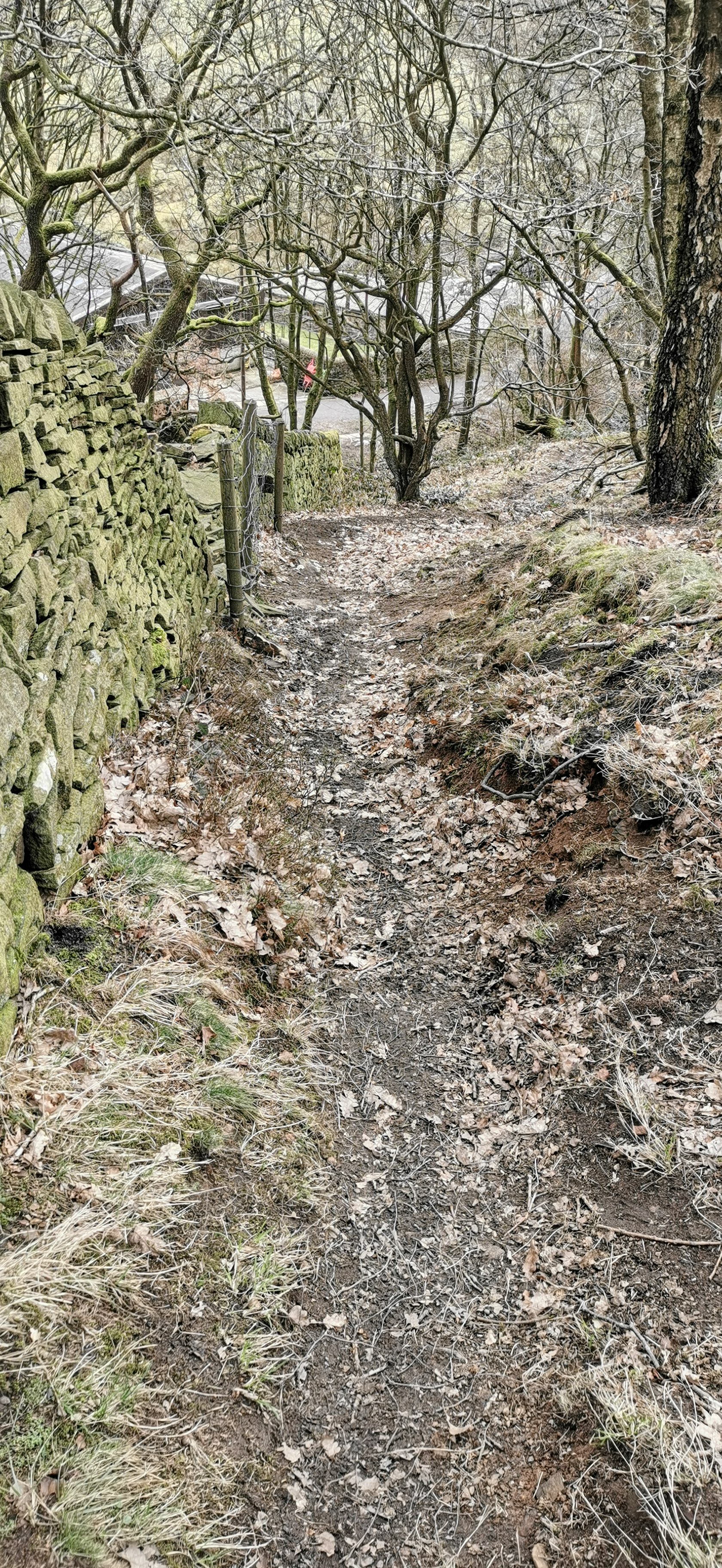
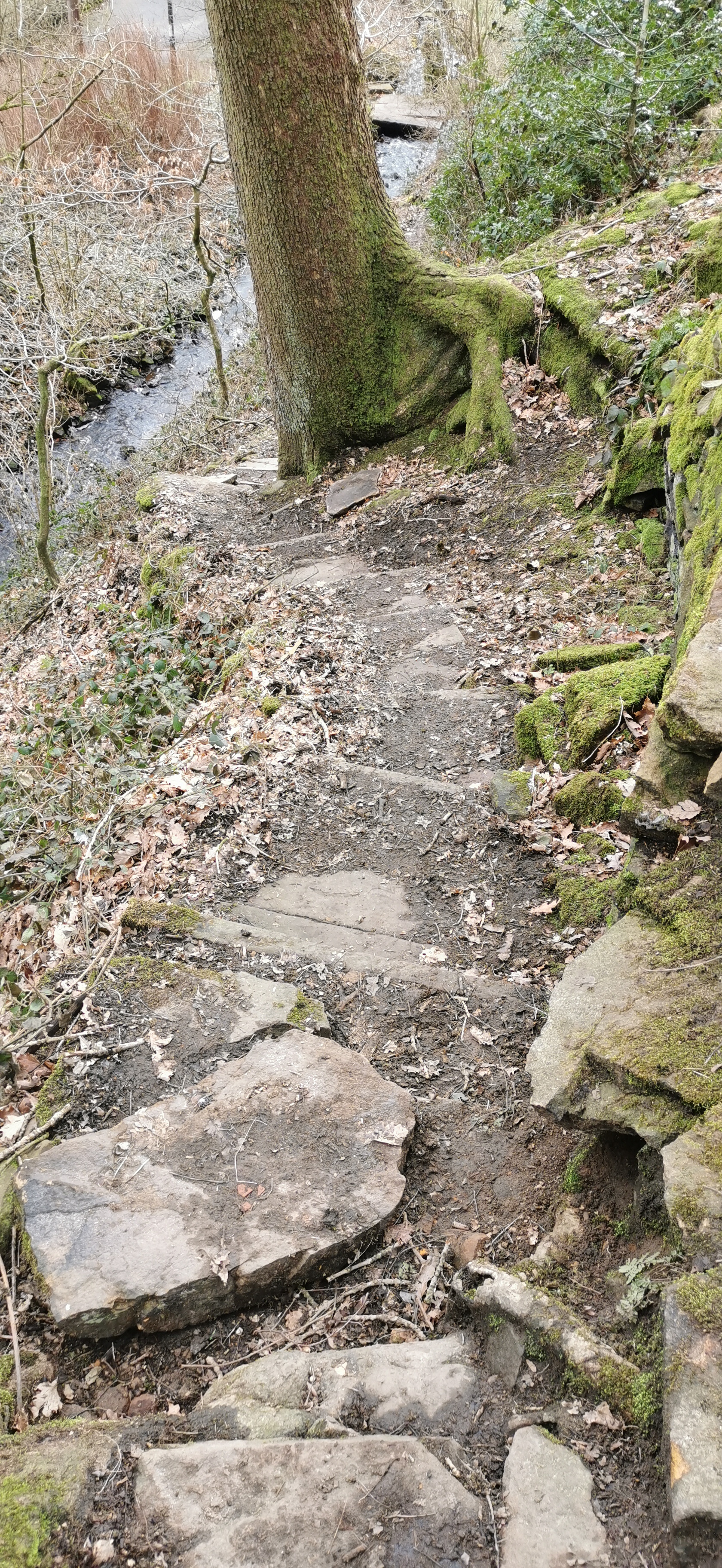
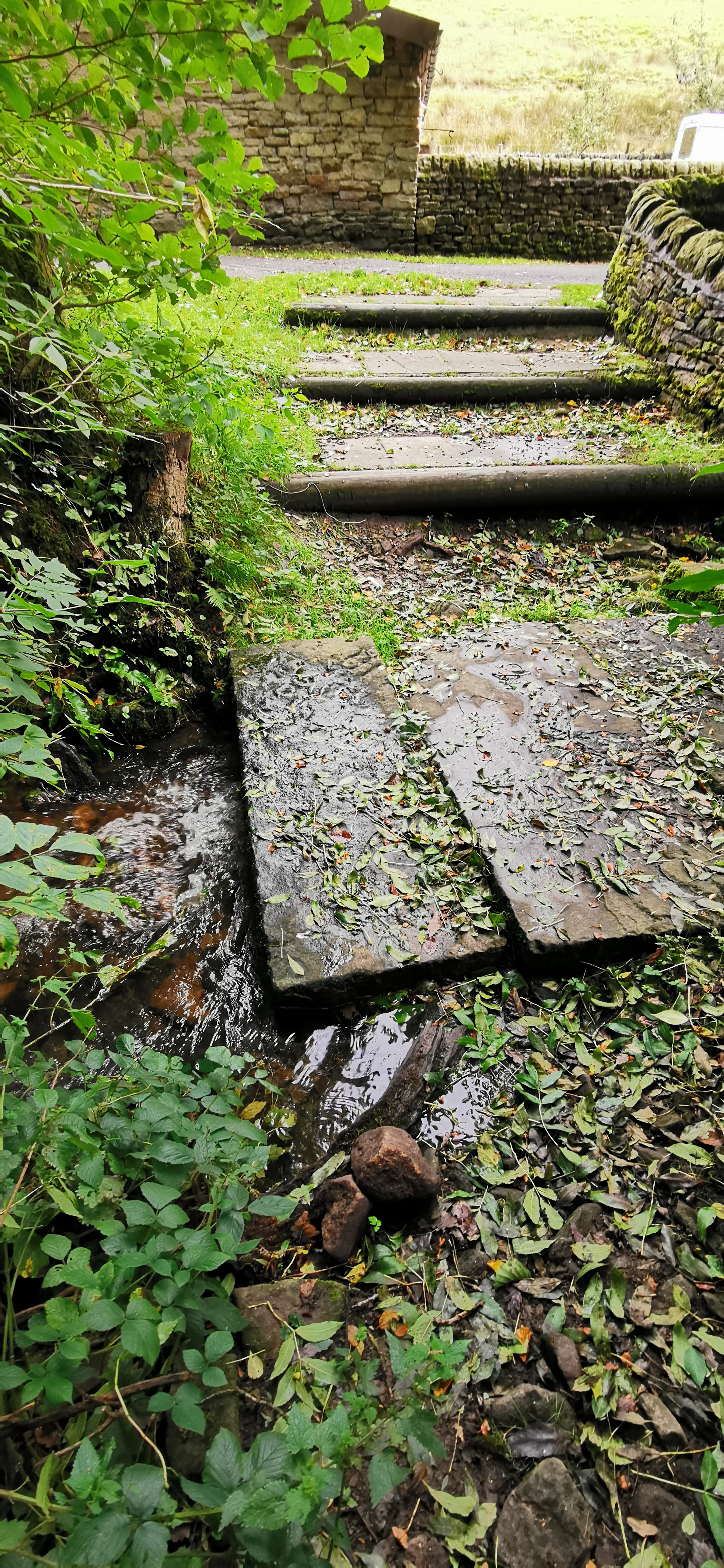
From the over-flow where the reservoir comes to a point, follow the path down through a small woodland, cross over the stream and turn right onto Blackshaw Clough. Follow Blackshaw Clough until it meets Bute Street.
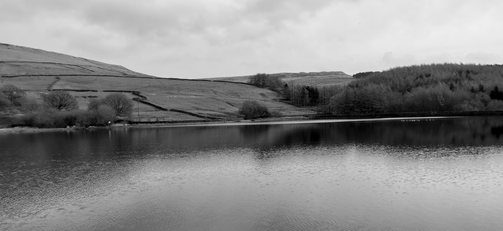
Swineshaw Reservoir was one of three reservoirs proposed by the "Glossop Commissioners", 50 local mill owners and gentlemen in 1837, it was adapted in 1864 by the Glossop Water Company to provide drinking water for Glossop and taken over by the Glossop Corporation Waterworks in 1929 and then the Manchester Corporation Waterworks in 1959. It is no longer in service.
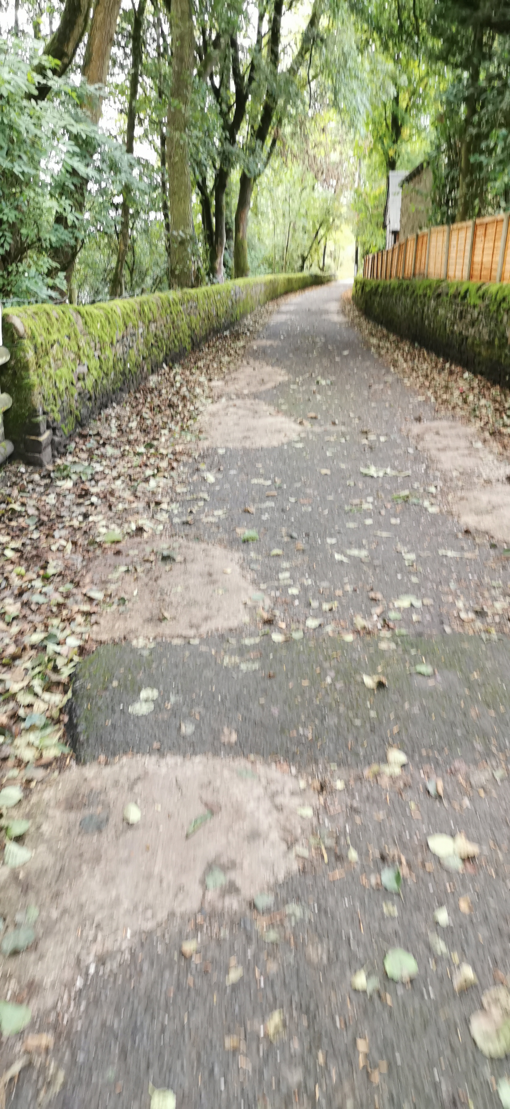
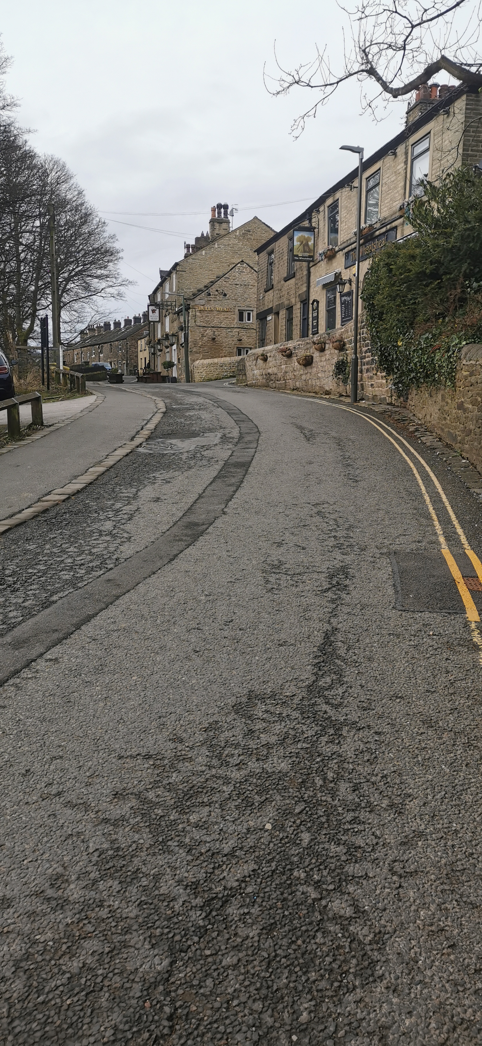
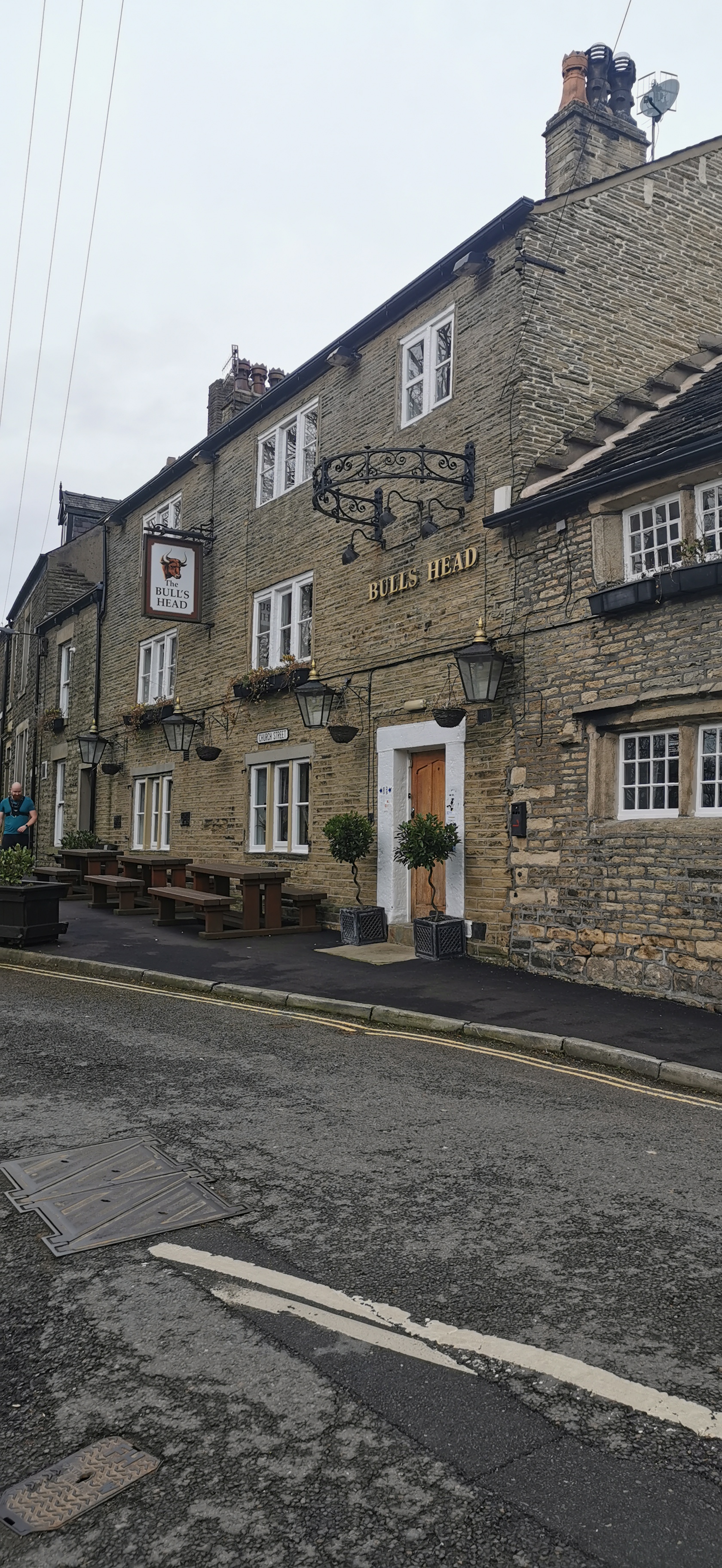
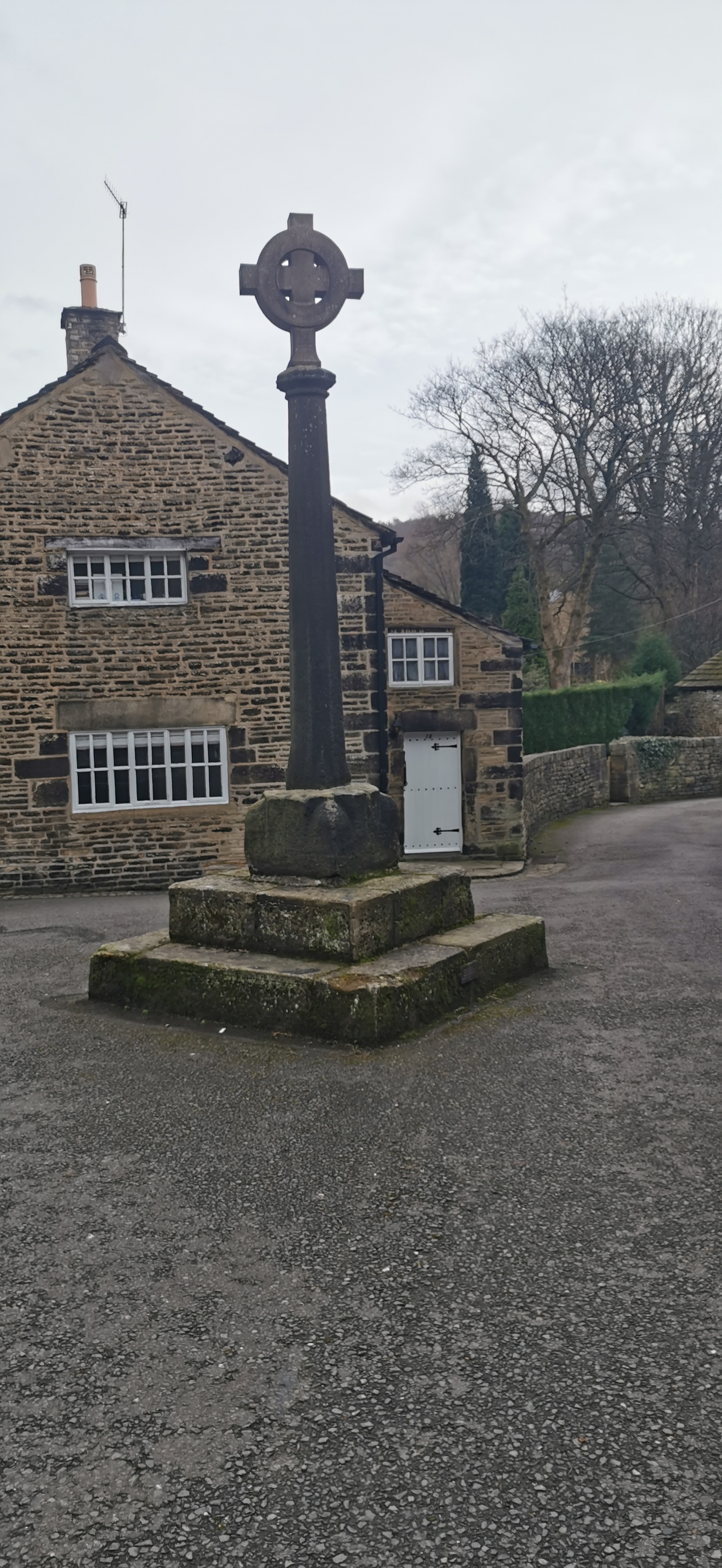
Walk along Bute Street roughly south-west, turning left when you reach Blackshaw Road, walk down Blackshaw Road for only 22m, turning right onto Dunne Road (a narrow road closed to vehicles), this brings you out onto Well Gate with the Wheatsheaf on your left and the Bulls Head on your right (take your pick!) Travel down Church Street past the old cross and left at the Queens Arms onto Shepley Street. Follow Shepley Street all the way to the end past the turning circle for the buses.
The Wheatsheaf dates from 1824 when Robert Shaw obtained a lease. The Bulls Head is the oldest public house in Glossop with parts of the building dating back to 1607. The old cross column is said to date from 1290 with the top added in 1912 to mark the accession of King George V in 1910. The Queens Arms was built by William Robinson a cotton manufacturer in 1825, name after Queen Victoria when an alehouse licence was given in 1837, the year of her ascension to the crown.
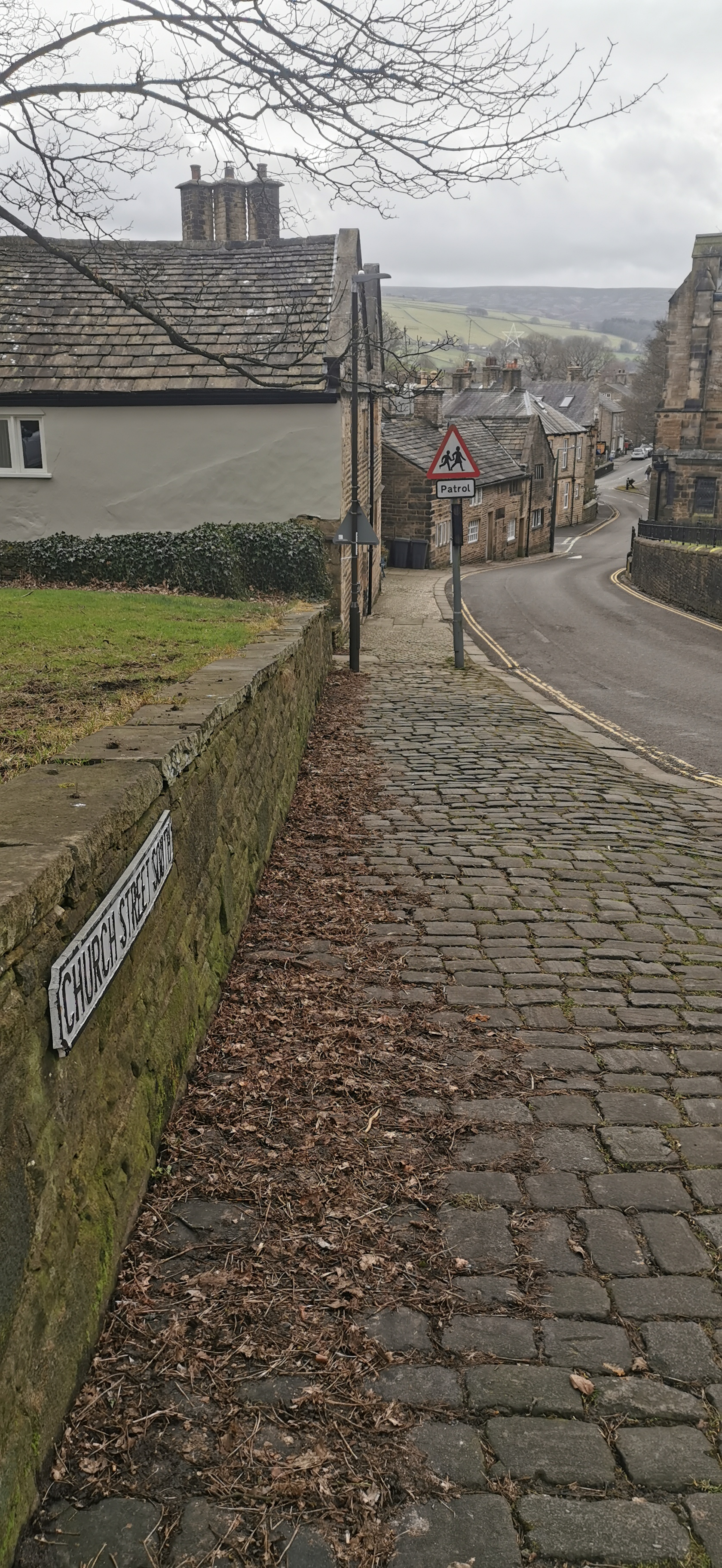
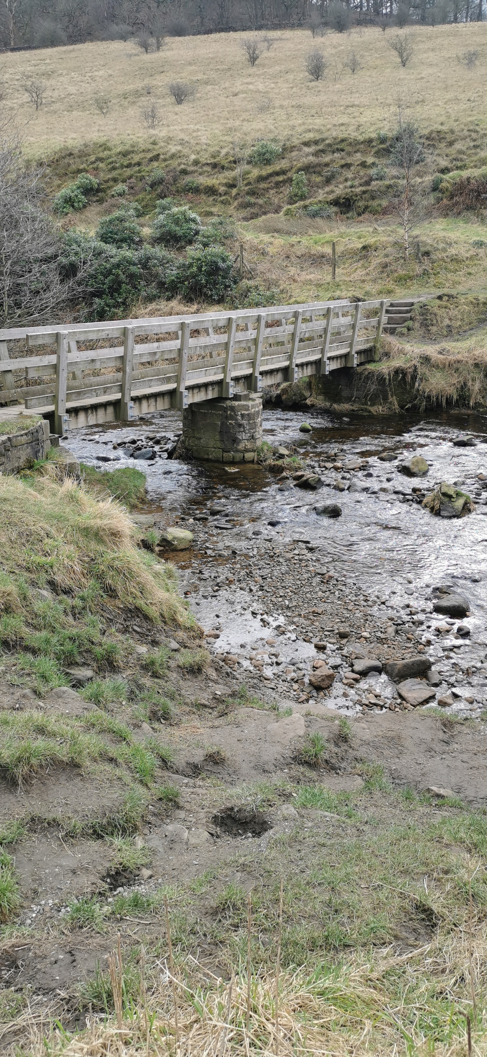
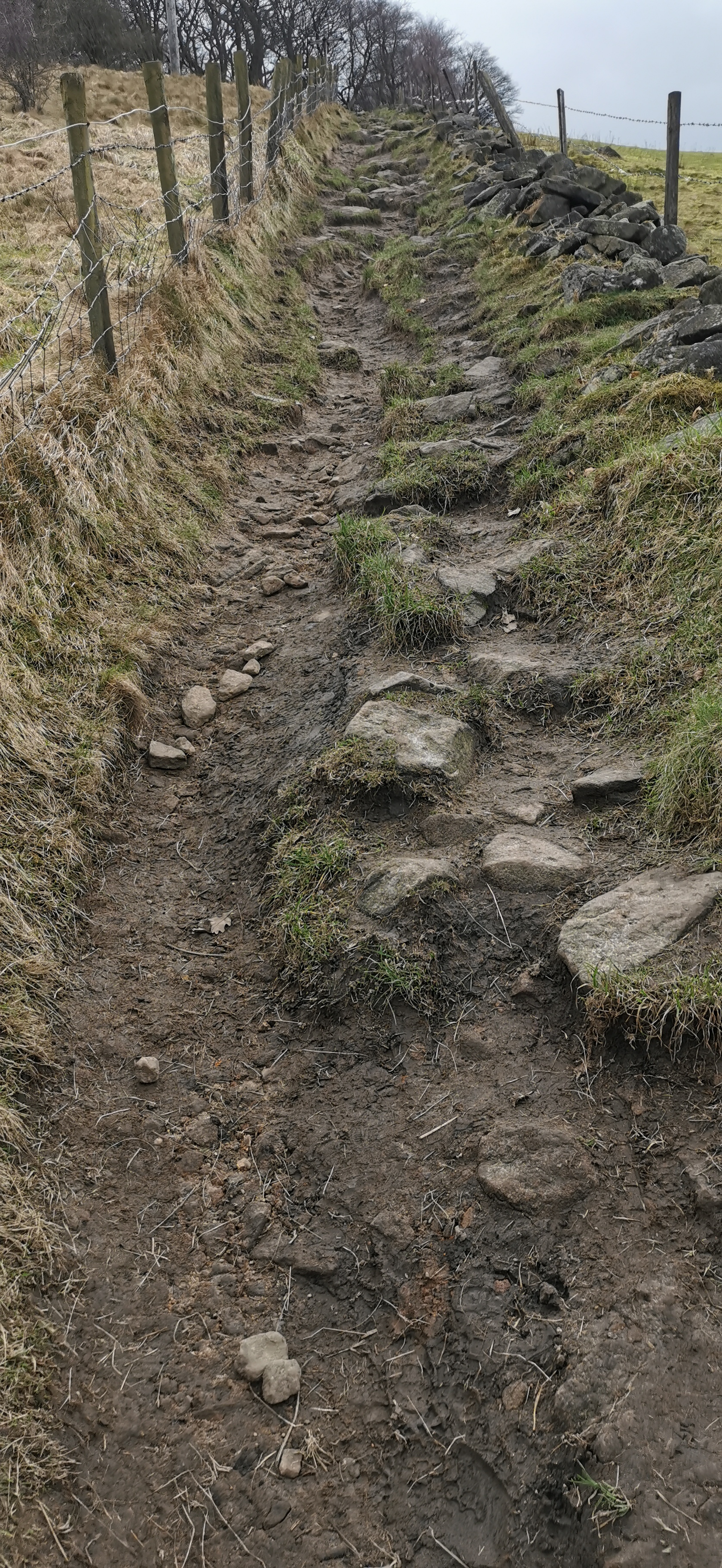
Walk along Shepley Street for about 140m heading east, until you reach the footbridge across the brook, heading south up the steep hill, which rises about 35m and then through woodland There are many paths through the woodland, head roughly south and you will come out onto Pyegrove. Walk along Pyegrove for only 155m turning left onto Sheffield Road, Hurst Road is 22m across the road on the right, opposite the Royal Oak.
From Shepley Street you can also walk along Doctor's Gate up to the Pennine Way, Dog Rock, Hern Stones, Higher Shelf Stones and the wreckage of the B-29 Super-fortress "Over Exposed" which crashed here there 1948 killing the 13 members of the crew.
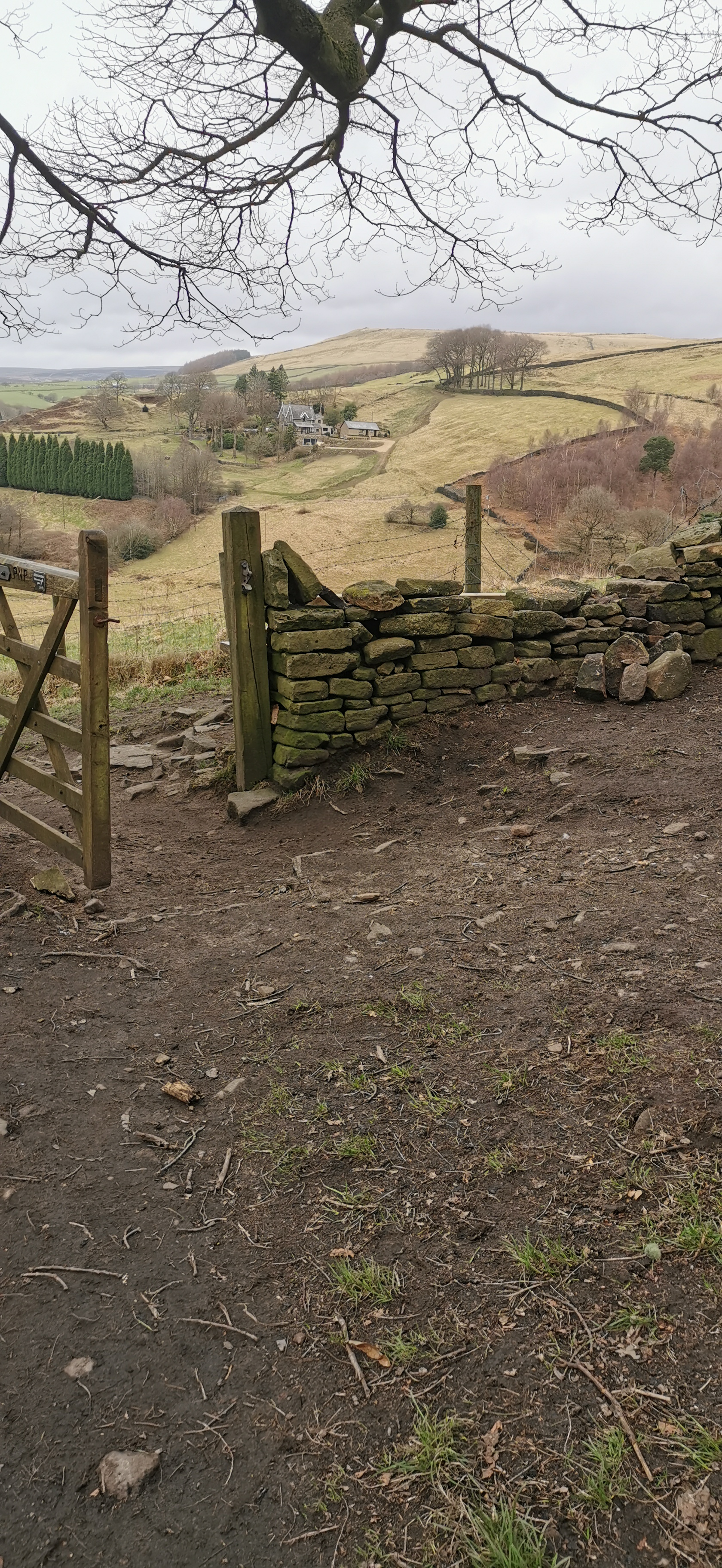
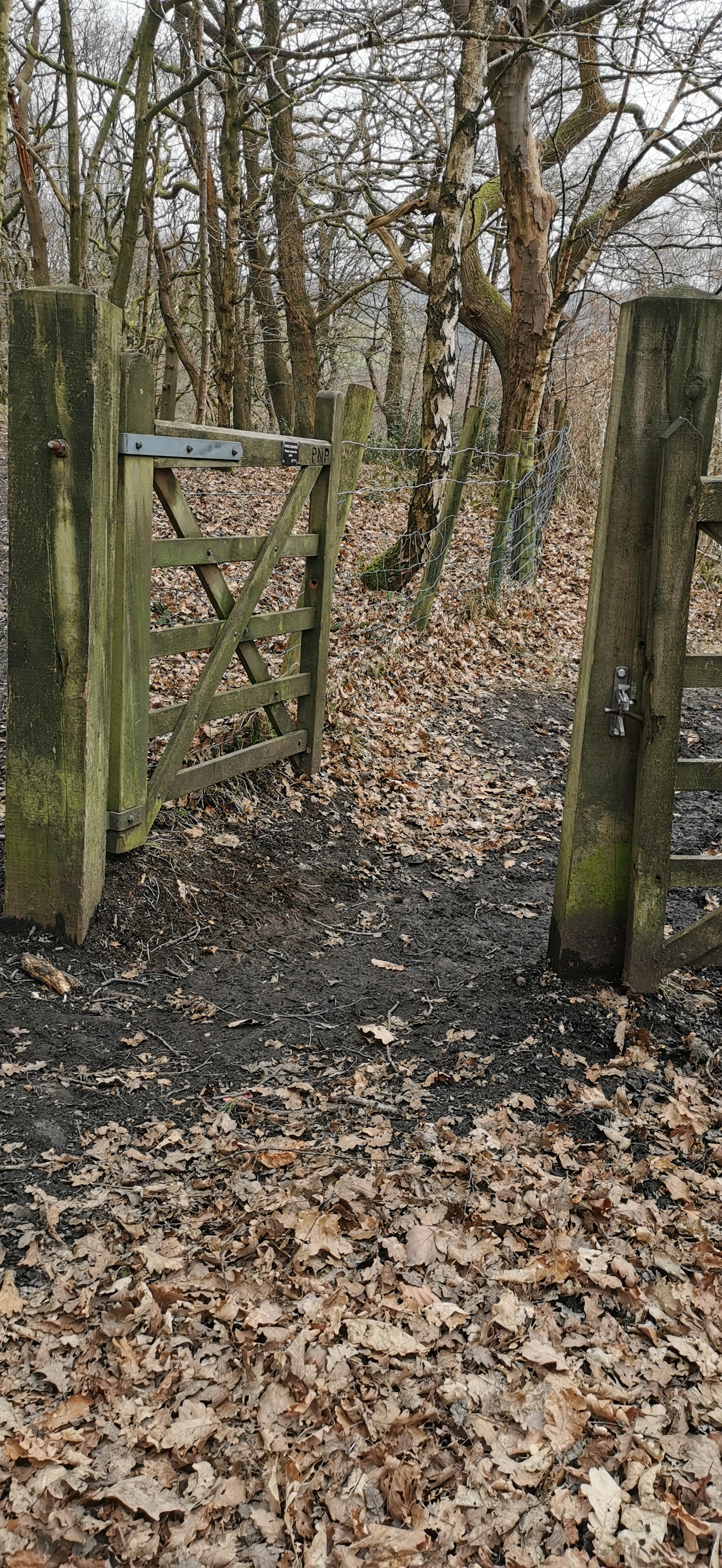
Walk along Hurst Road, past Glossop & District Golf Club and onto Derbyshire Level.
The Royal Oak alehouse was built by Joshua Shepley who gained the first alehouse license in 1818 the same year an act was passed to build a turnpike road from Glossop to Sheffield over the Snake. A turnpike being a road on which tolls or fees were collected for using it.
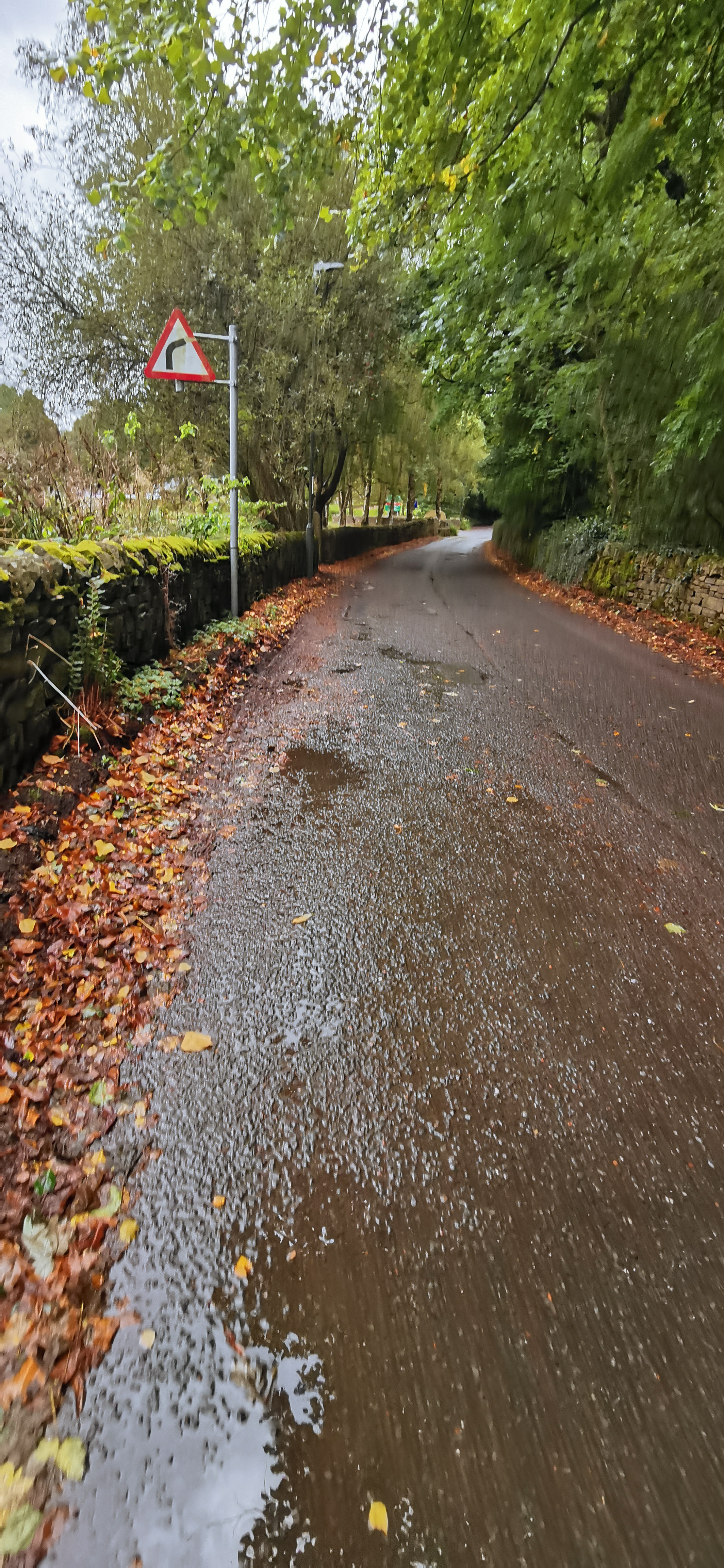
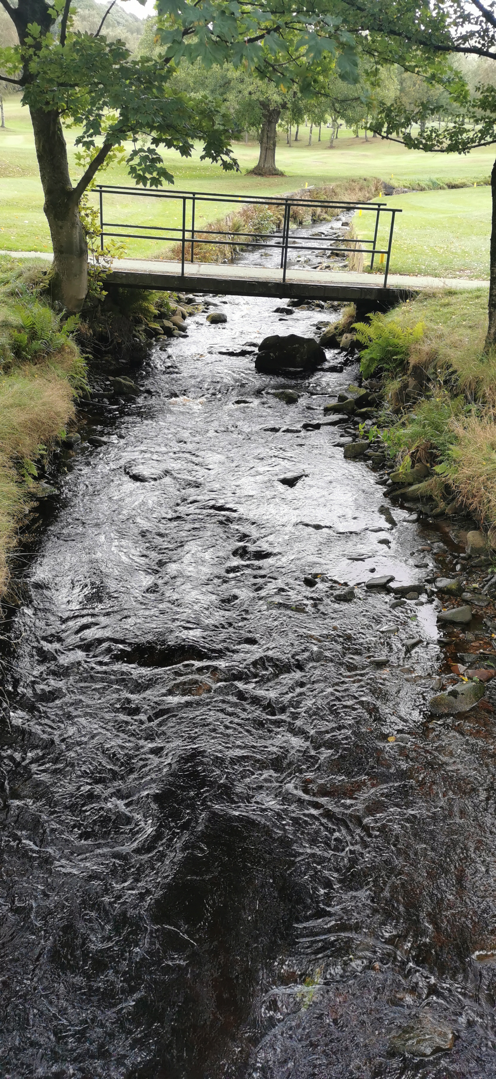
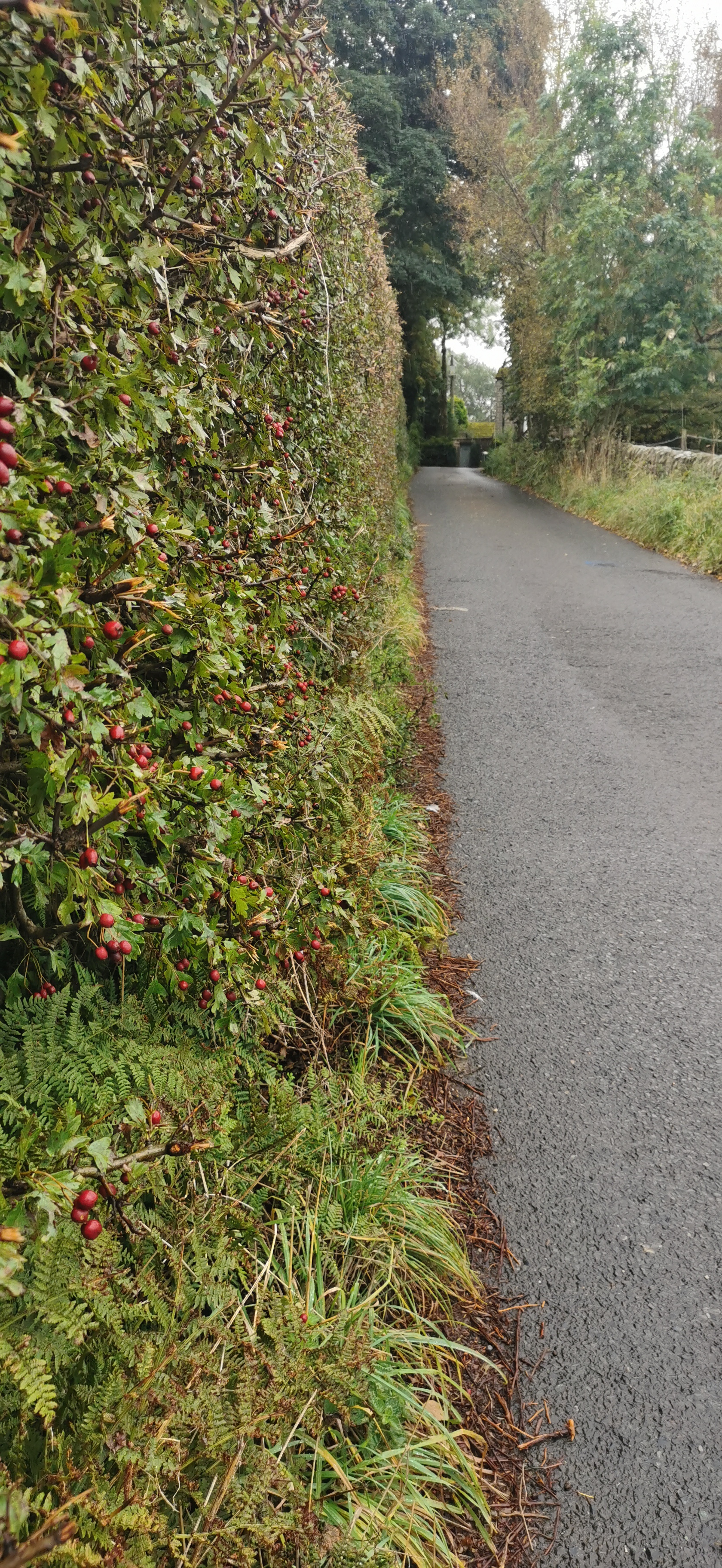
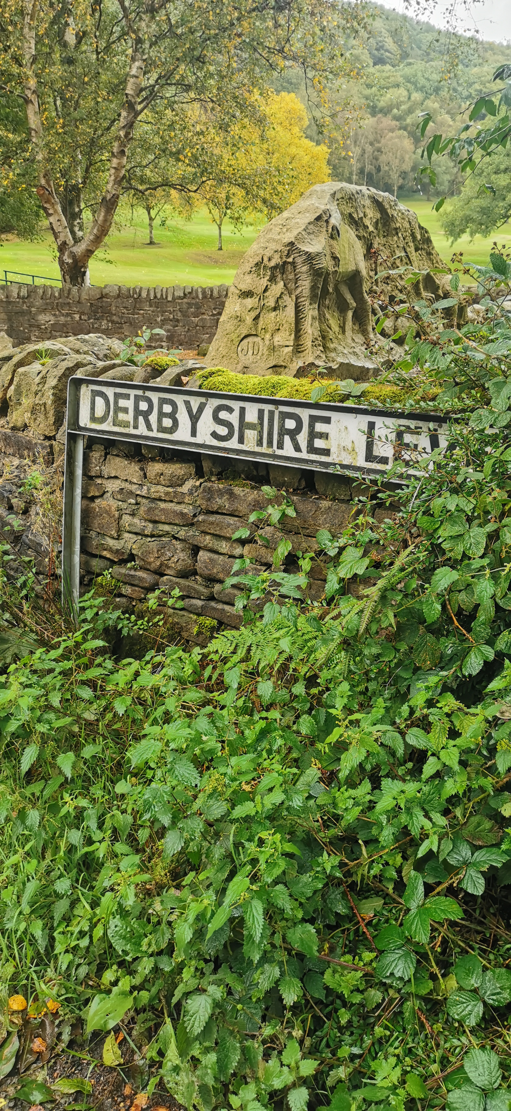
Continue walking along Derbyshire Level for 1.12 km until you reach Kidd Road, turn right into Kidd Road.
Derbyshire Level is an ancient road connecting Chunal to Sheffield Road, from Derbyshire Level there is a circular footpath of 8.4 km that takes in the peaks of Harry Hut (440m), Mill Hill (544m) and Moss Castle (536m).
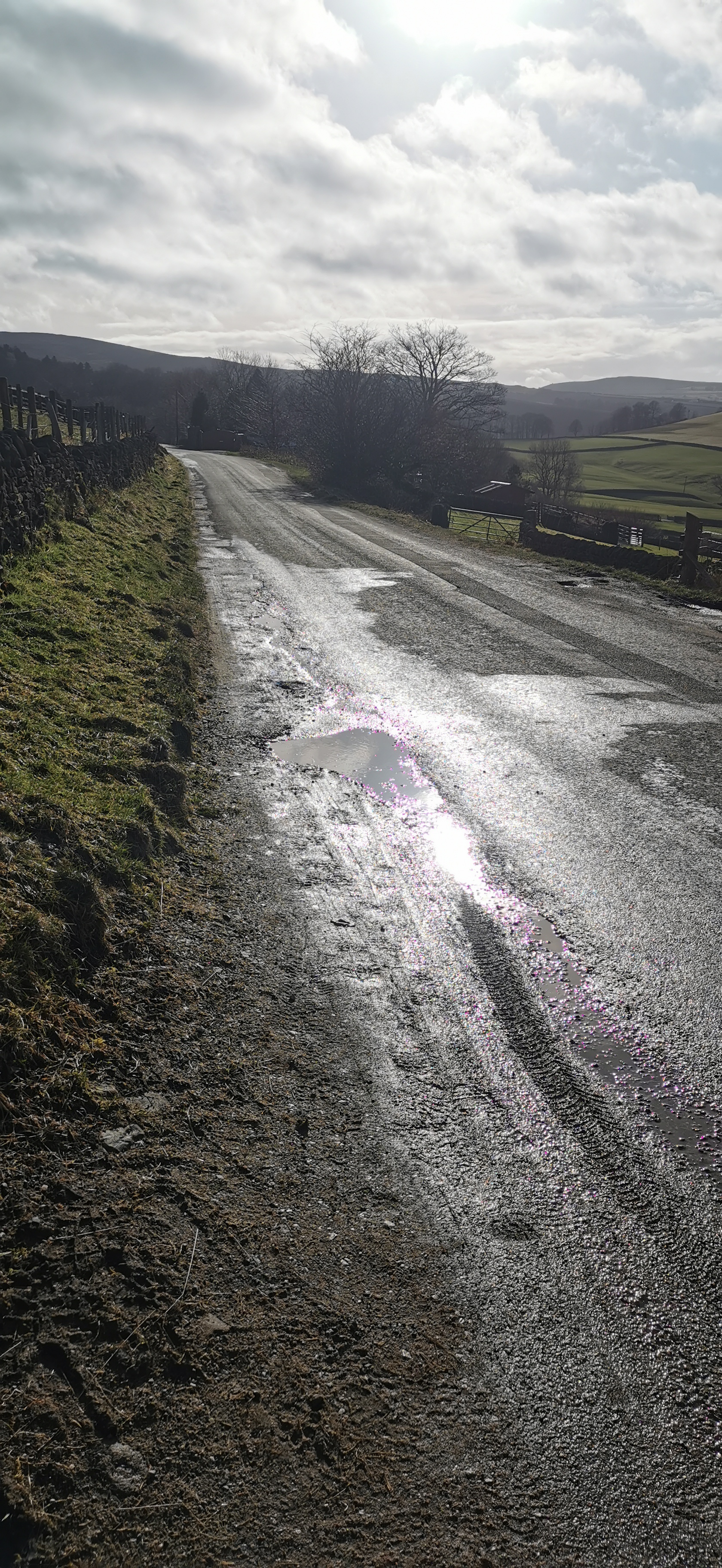
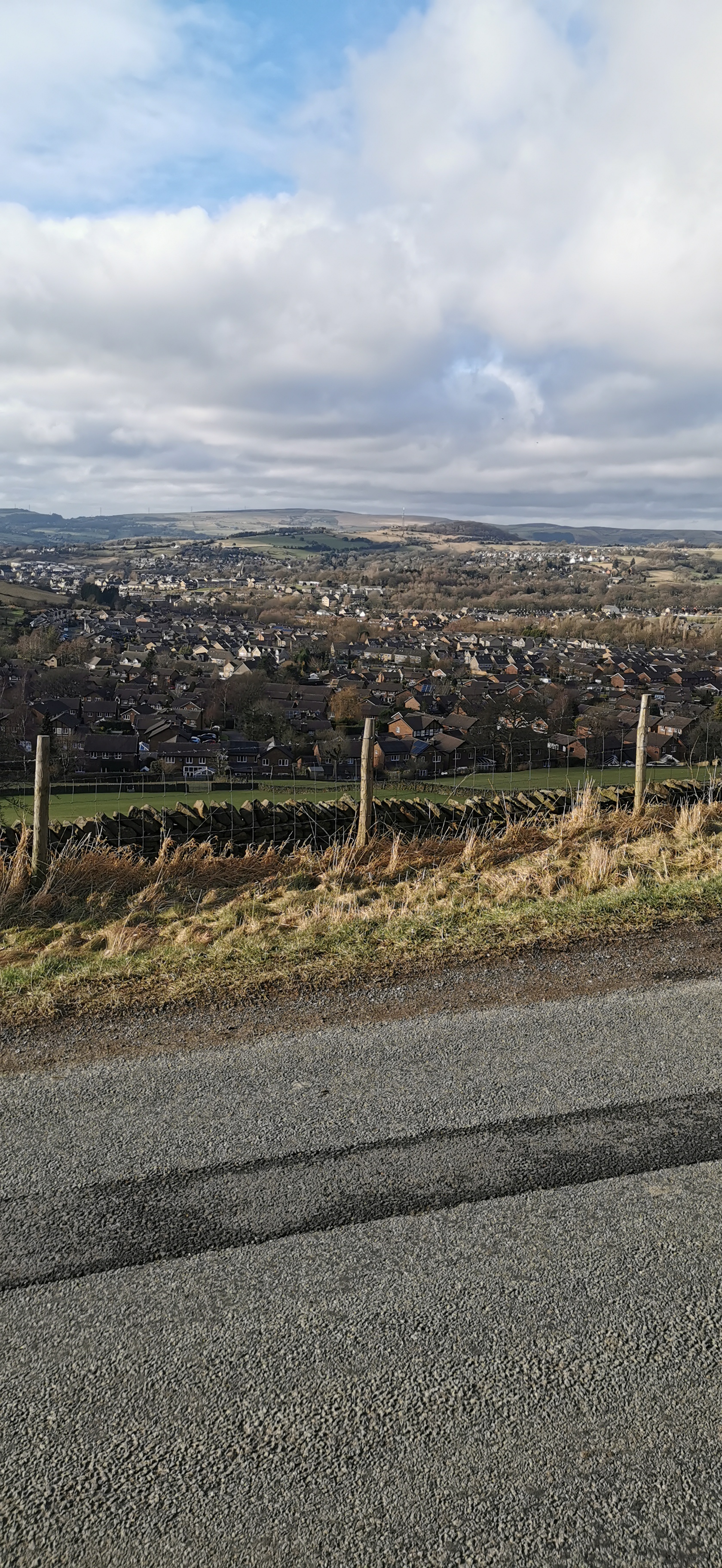
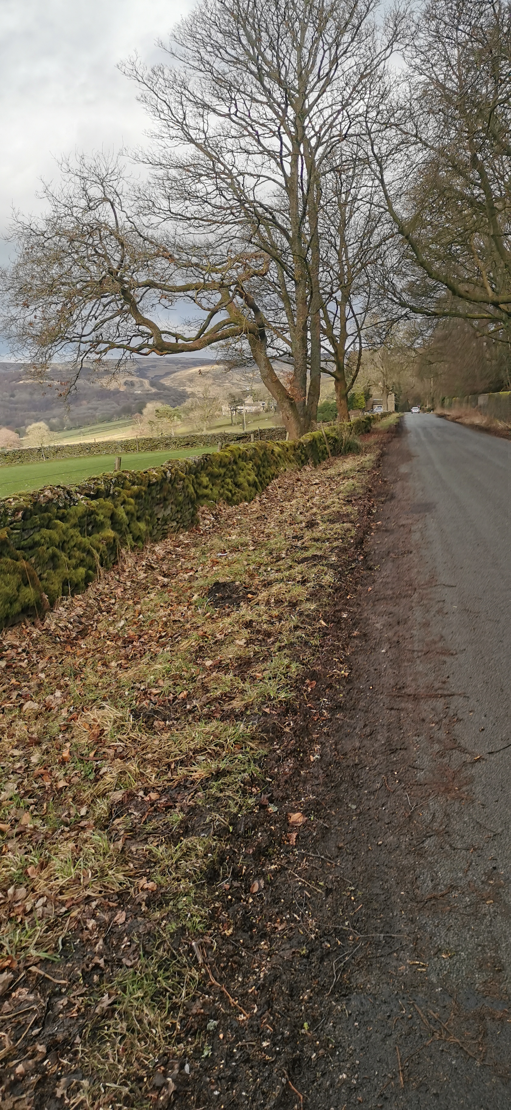
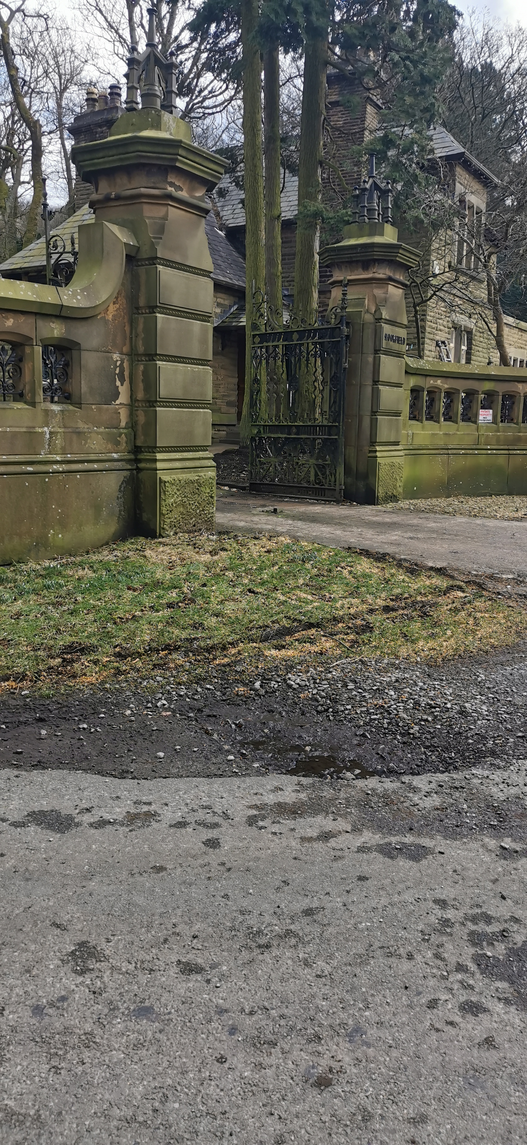
Walking west along Kidd Road for about one kilometre and then a sharp left turn at the bench enclosed in a tiny walled garden. Follow the lane all the way to the end where there is a gate, after the gate bear right down the footpath to the stream, keeping the stream on your left follow the path round until you come out onto Chunal Lane next to Moorfield Industries. Turn right onto Chunal Lane.
Moorfield Lodge, situated at the junction of Derbyshire Level & Kidd Road, is the old gatehouse to the Moorfield House Estate. Moorfield House was constructed in 1861 by a local mill owner, Daniel Hill-Wood. The property was used as a military hospital during World War 1 and after that a Roman Catholic seminary.
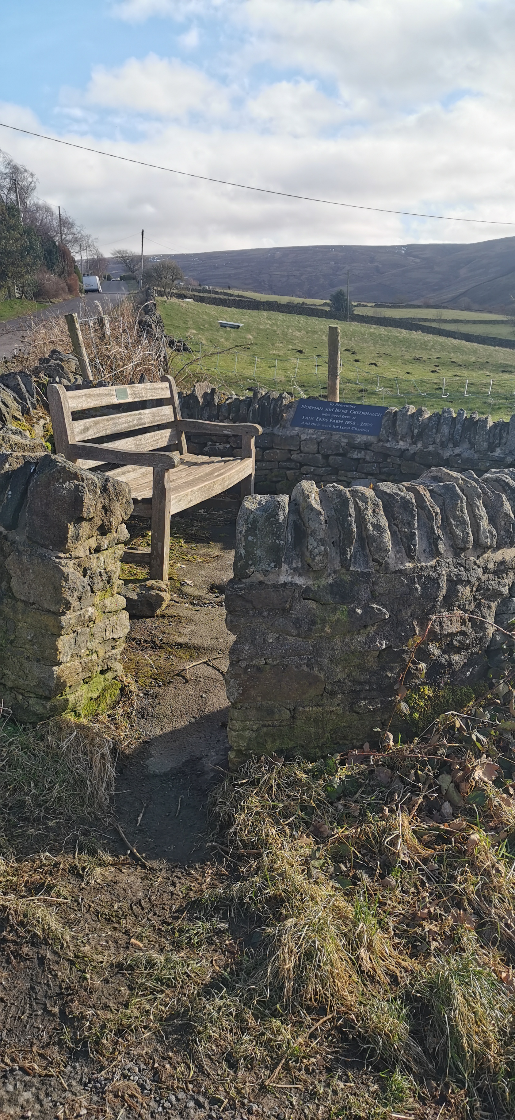
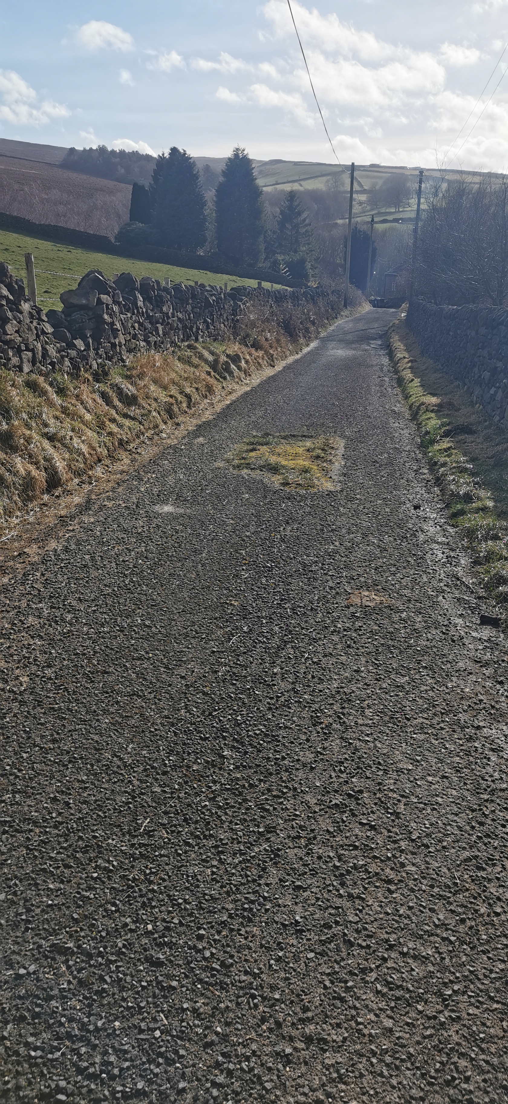
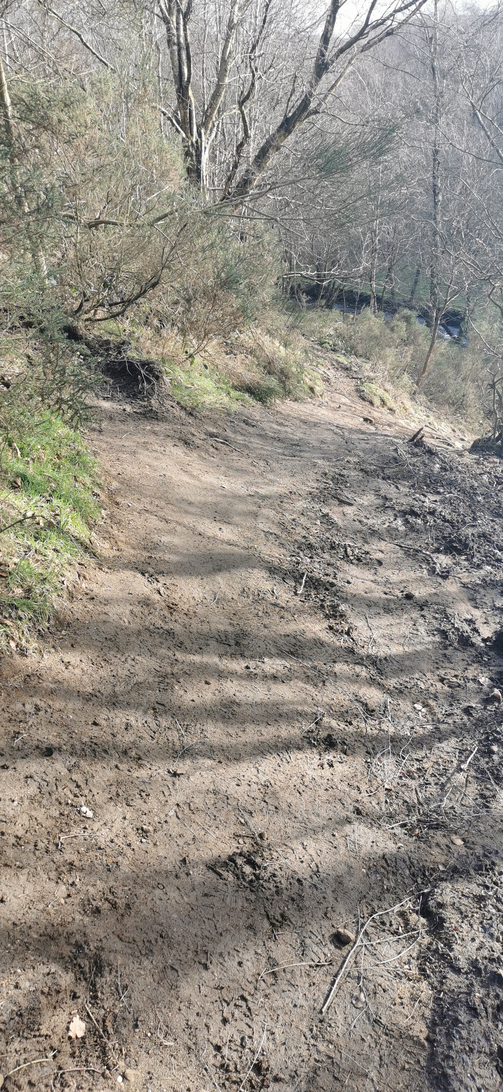
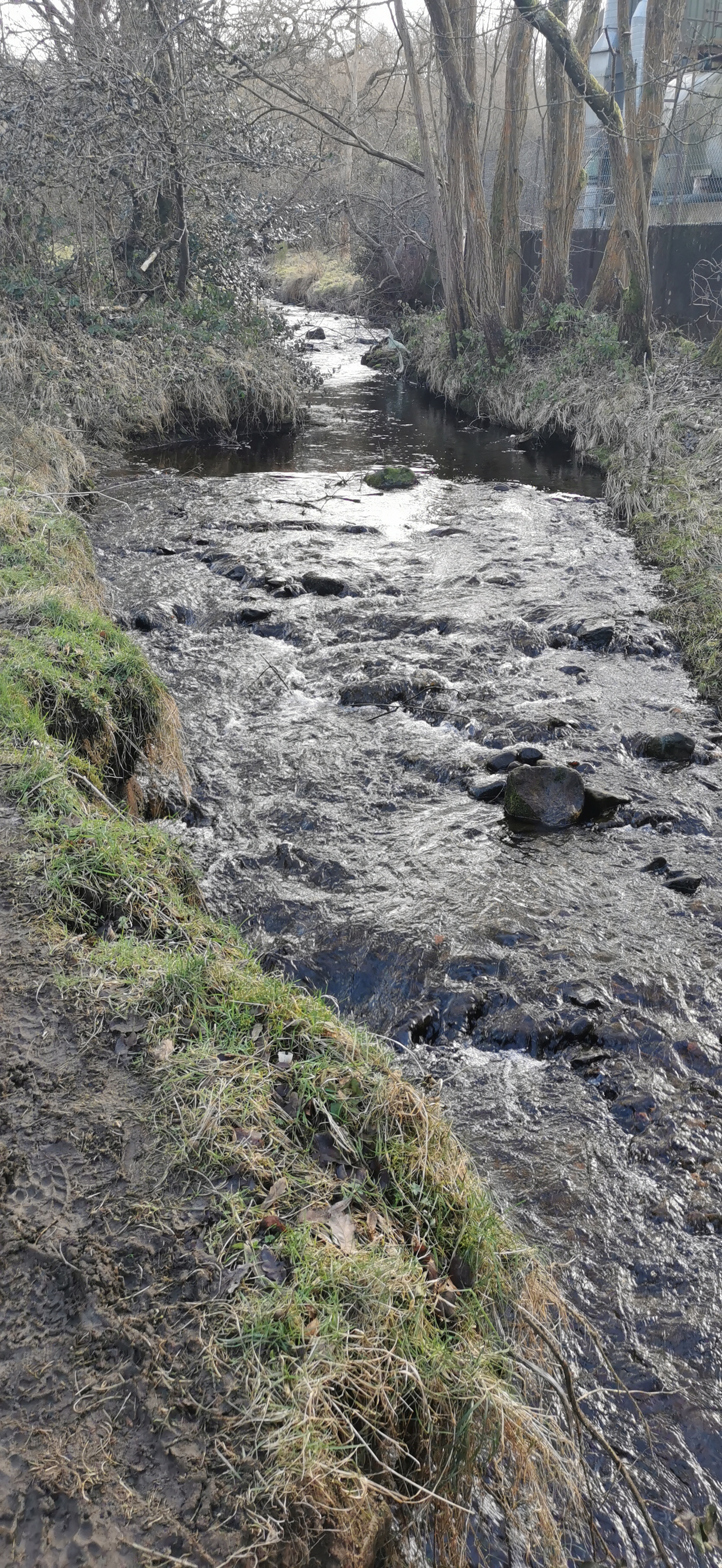
Walk along Charlestown Road for about 130m, opposite Casa D’Italia is a footpath up some stone steps through the trees, turn left onto the country lane and follow this lane for 500m until you reach a sharp left turn with a footpath sign on the right pointing to Whitley Nab. Follow this path roughly north-west, over two stiles and up to a plantation of fir trees at the top of Whitley Nab. Follow the path around the fir tress keeping them on your right.
Casa D’Italia is an Italian restaurant, formerly The Whitley Nab and the Commercial opened in 1837. The house on the corner of Turnlee Road and Charlestown Road used to be the Drovers Arms dating back to 1824, a drover being a person who drives cattle or sheep.
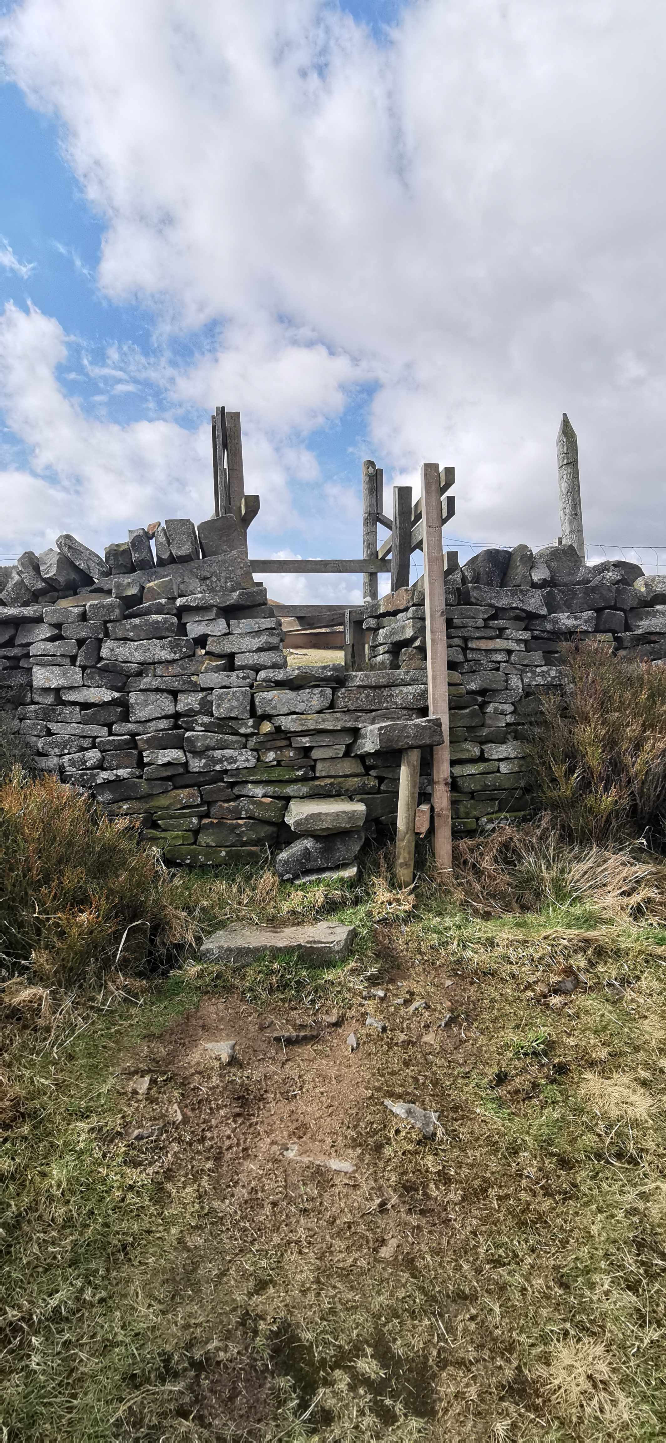
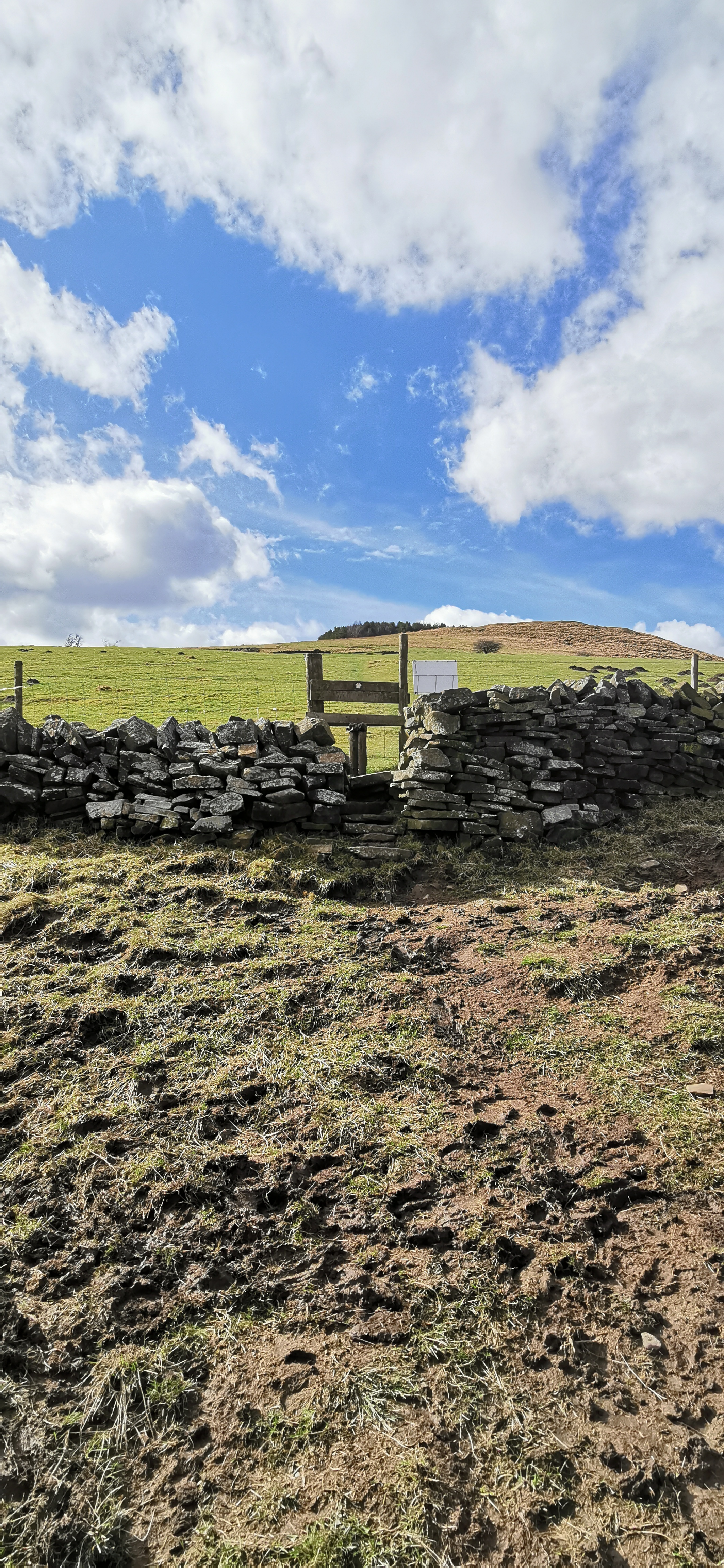
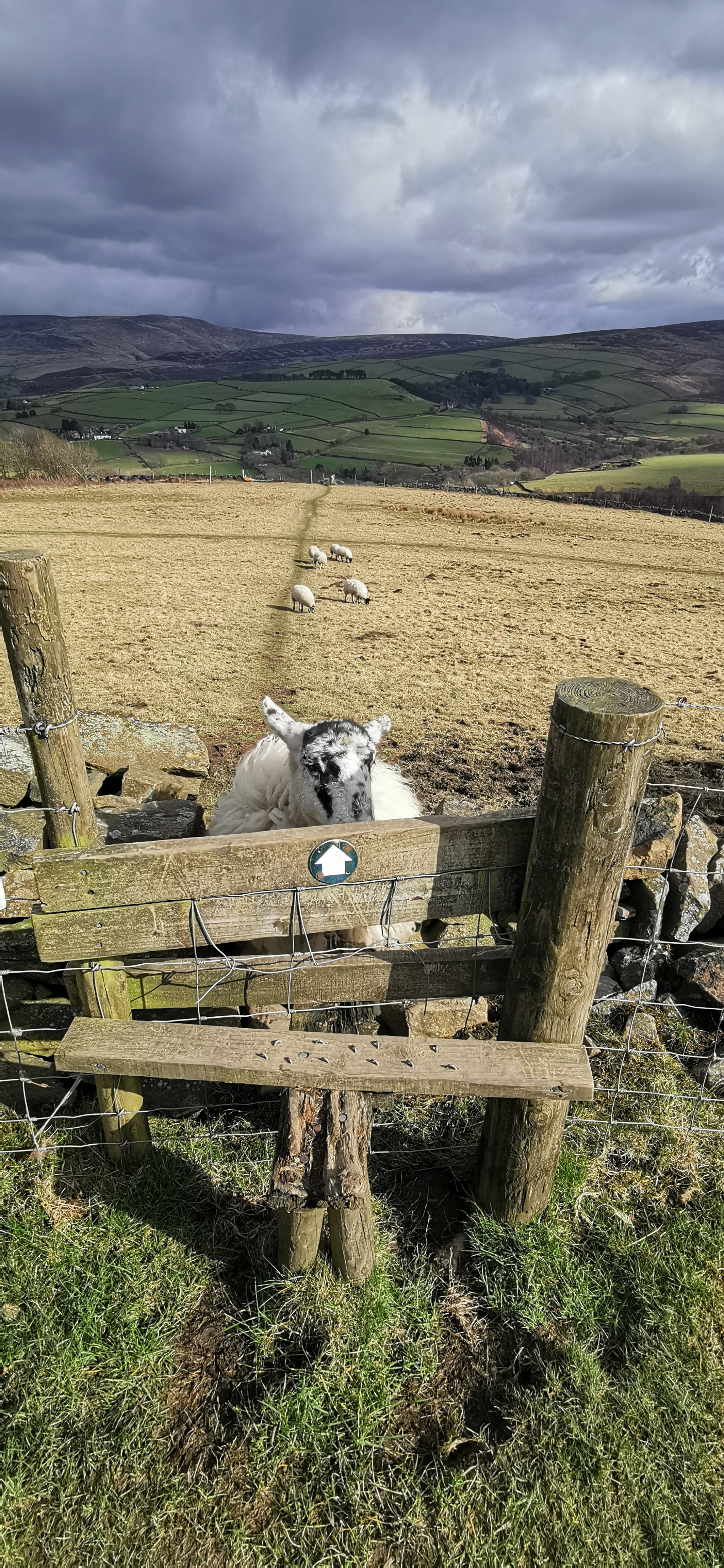
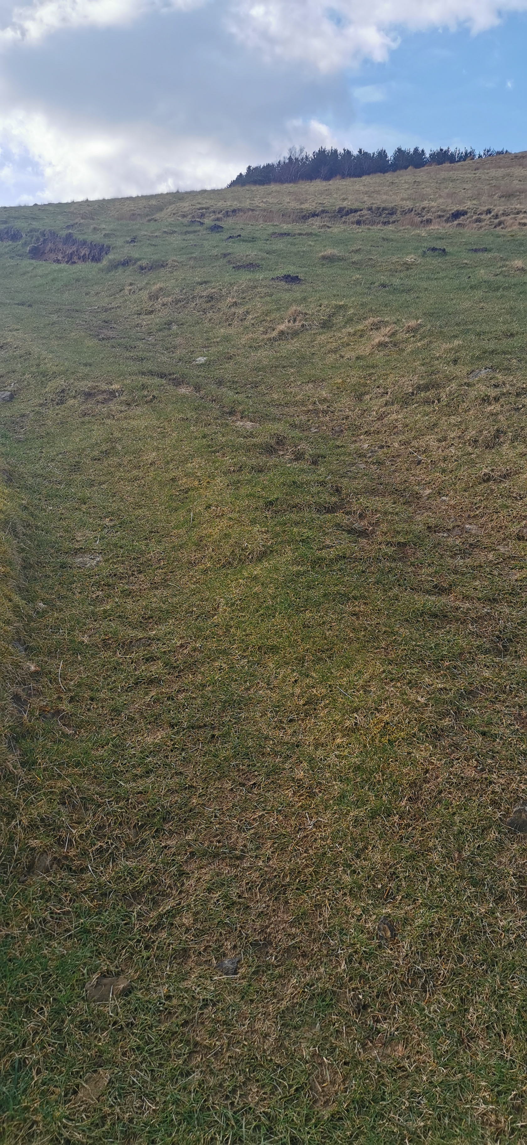
Continue on the track past with the plantation of fir trees on your right-hand side walking north west towards the gate, the track continues for 175m towards another gate. Don’t go through the gate but follow the path through the gorse and small trees until you reach a stile over a stone wall. Walk due north (you should be able to see the TV transmitter in the distance), down the hill diagonally across the field until you reach the kissing gate and the stile at the bottom. Cross over the stile onto Old Lane and turn left. Walk east along Old Lane in Simmondley passing several Grade II listed houses. At the end of Old Lane is the Hare & Hounds Public House. If you’re not frequenting the pub, there is a shortcut down the steps onto High Lane.
The 4.5 acre pine tree plantation on Whitley Nab is 345m above sea level. The summit near Sitch Farm is about 380m. Kinder Scout is the highest point in the Peak District at 636m. According to OS Maps the gorse heath land is called Horse Clough.
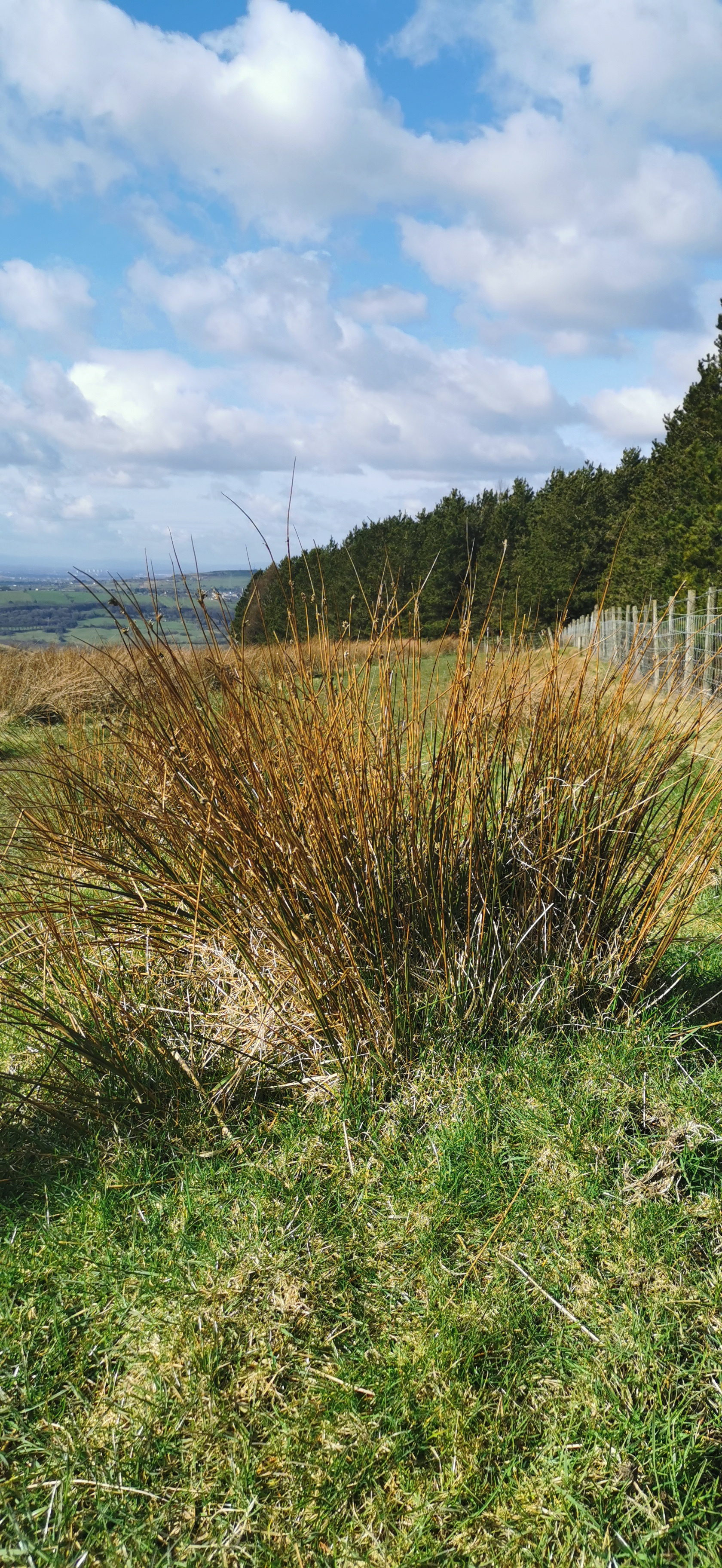
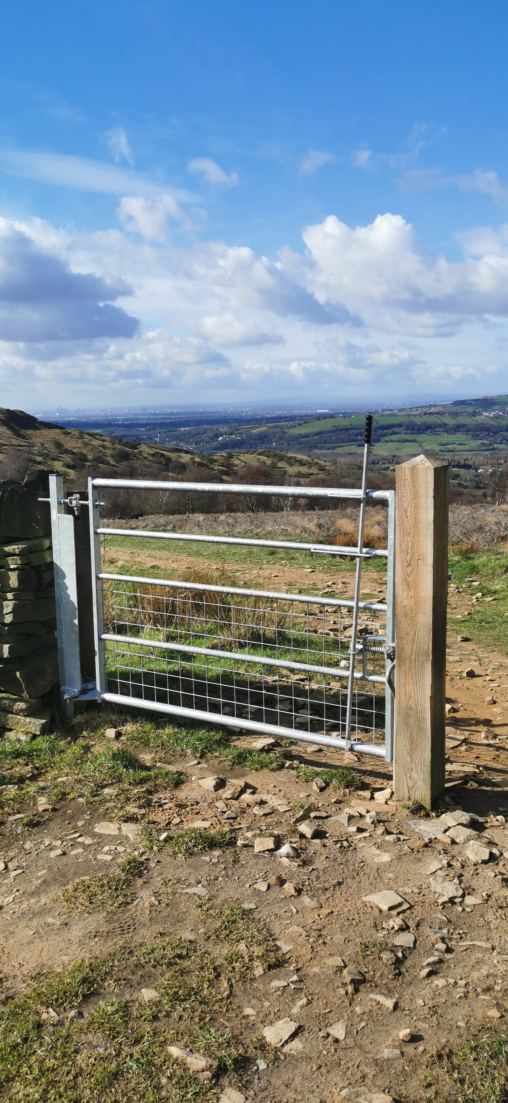
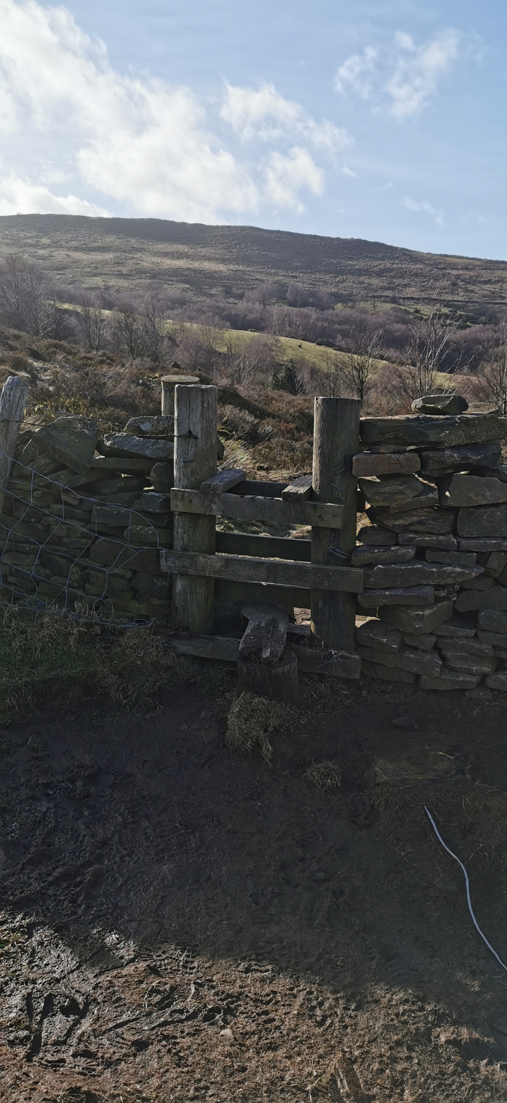
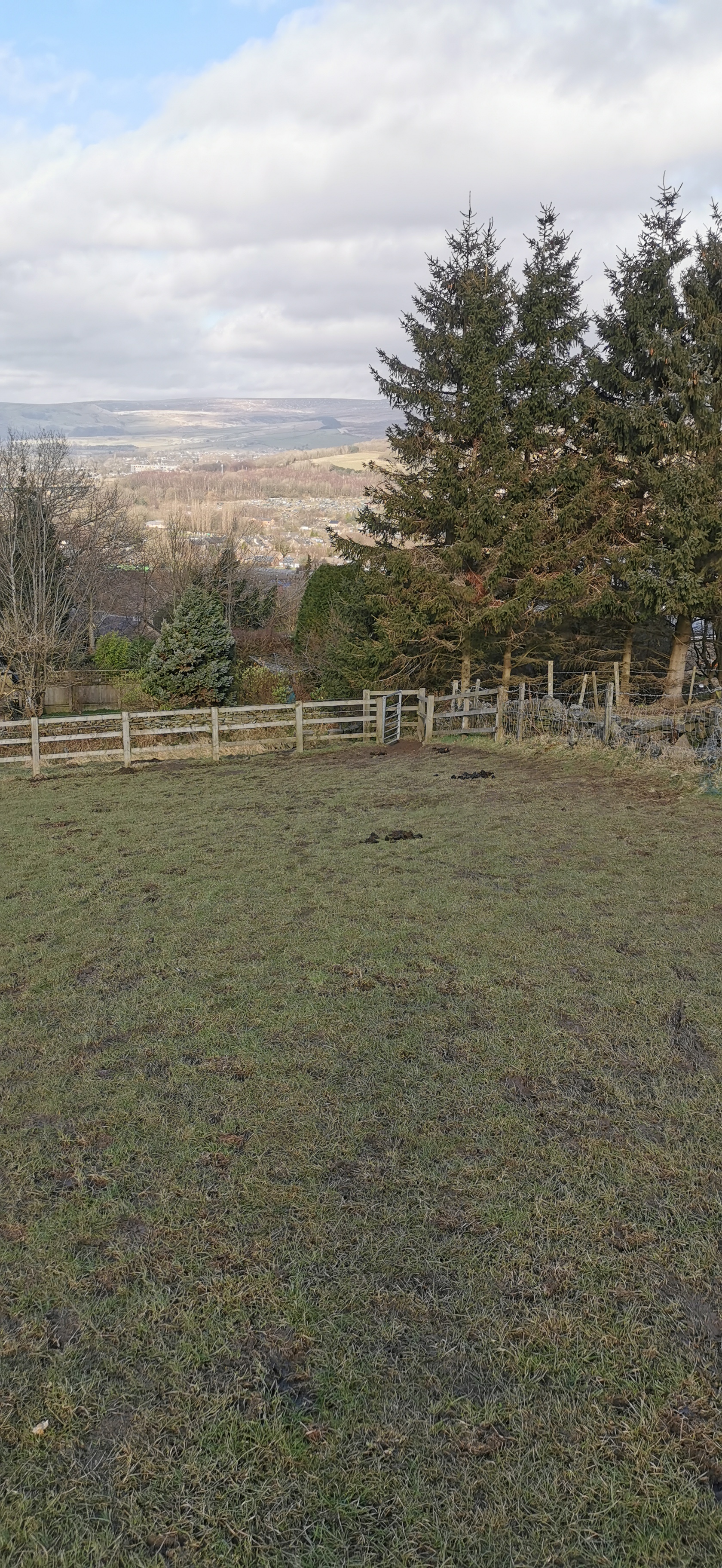
From the Hare & Hounds walk down the hill on High Lane towards Simmondley Lane. Take the second road on the left, Green Lane. Walk along Green Lane until the end where the road turns into a wide track.
The Hare & Hounds pub was part of the original farming community with the adjacent farmhouse, barn and stables converted into houses. The date stone above the door reads 1784 and a "B" over "G & P" which relates to George & Peggy Booth, the first alehouse licensees.
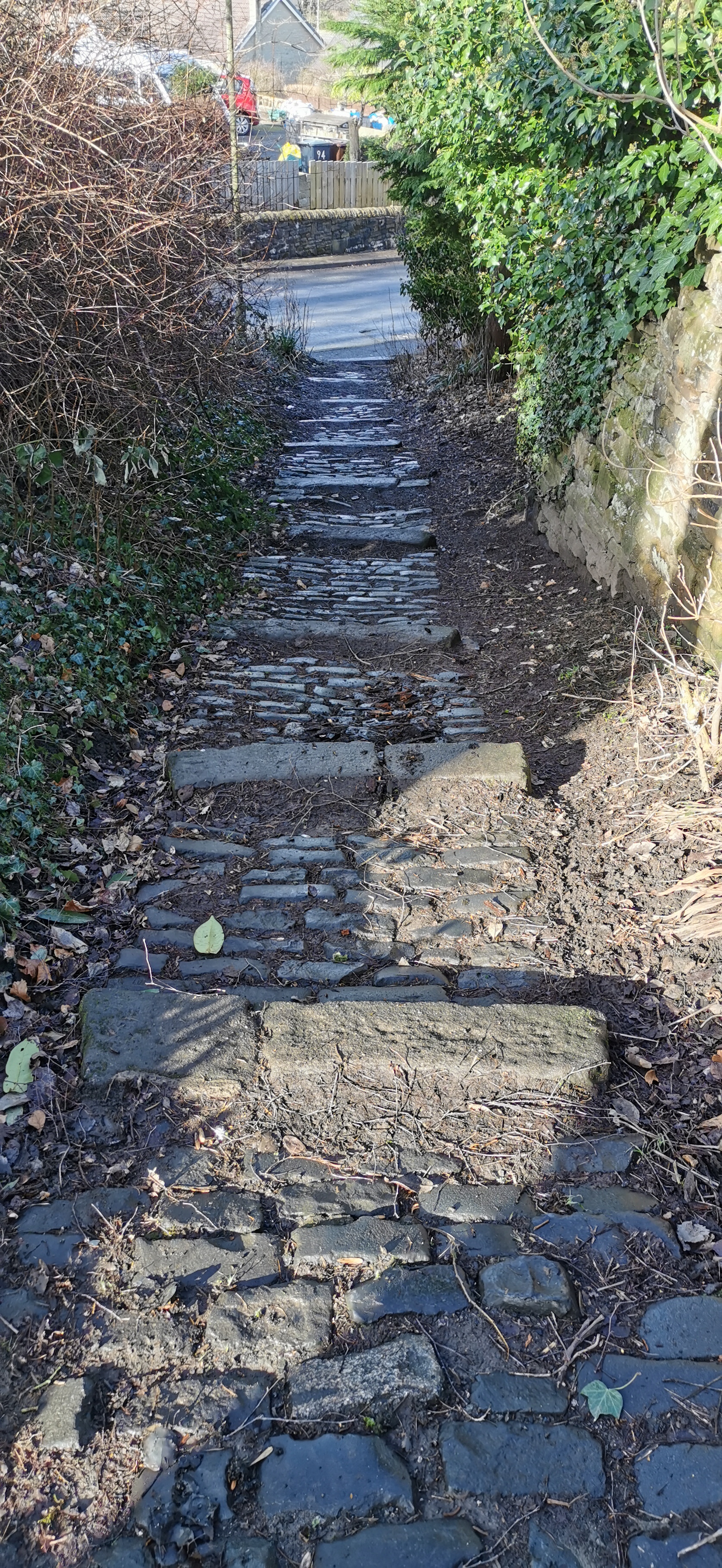
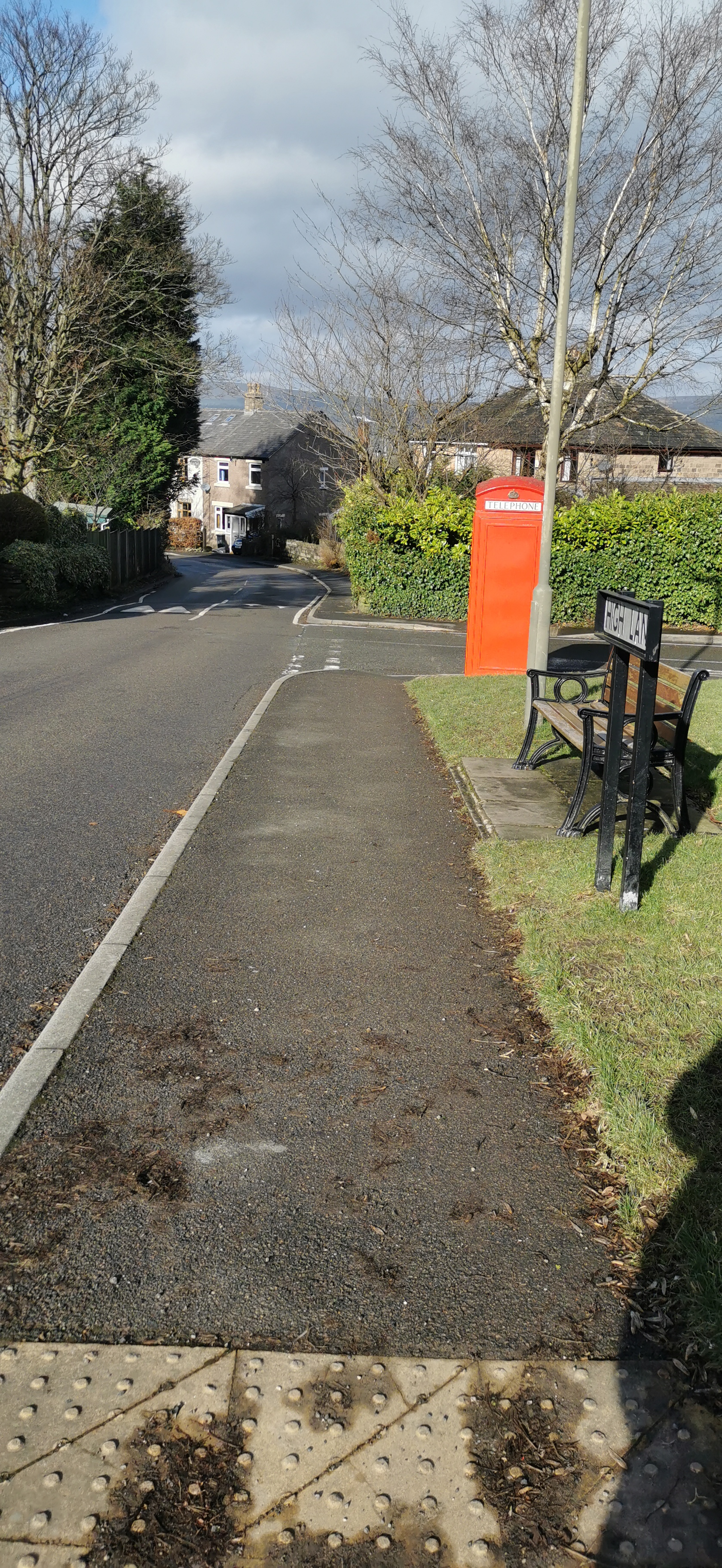
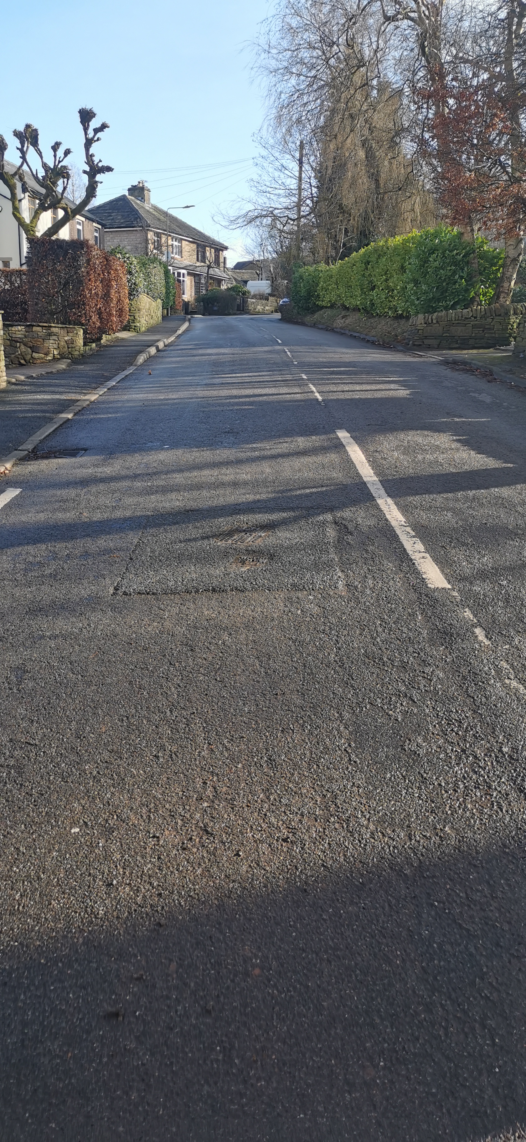
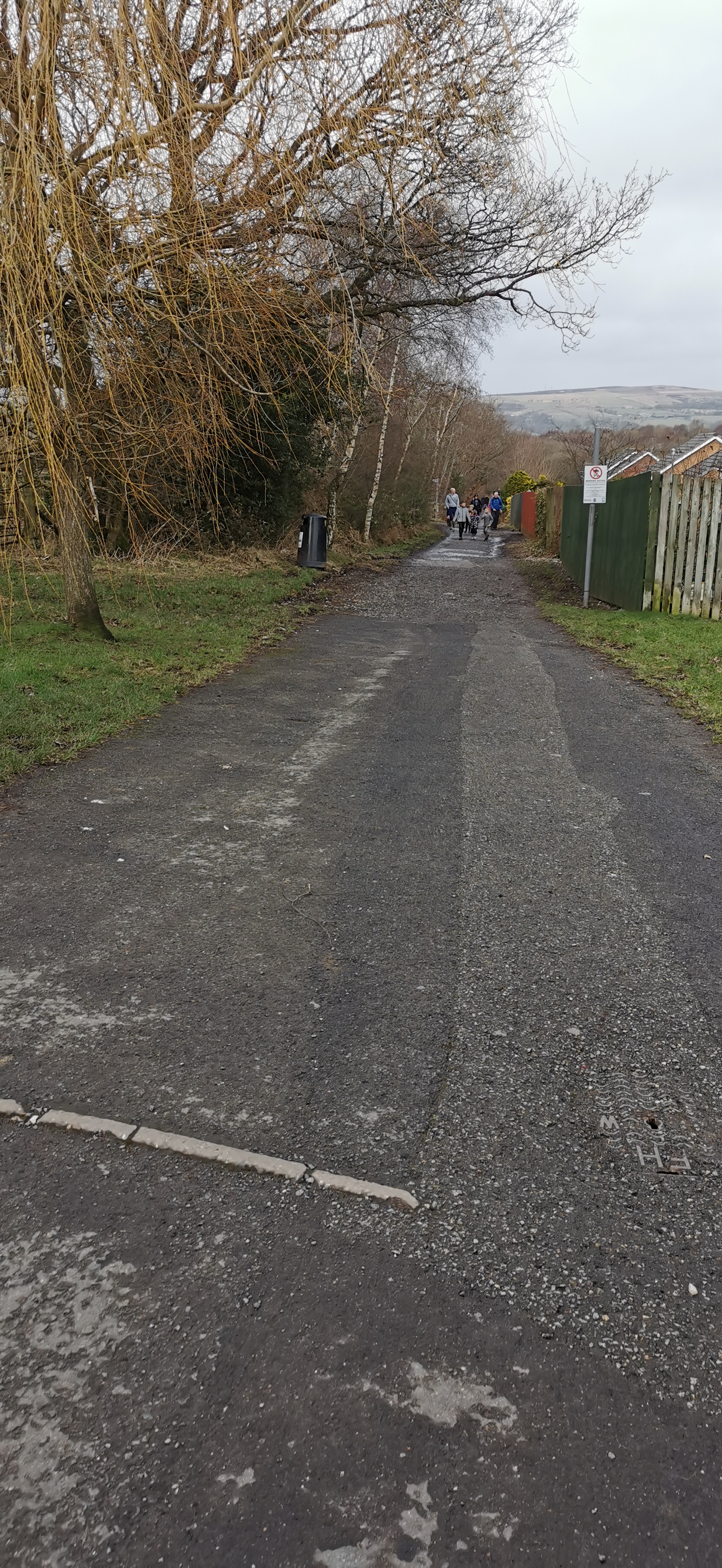
Follow the track / bridleway towards Gamesley Sidings, a 28 acre wildlife site made up of wet woodland forming part of the Pennine Bridleway and the Trans Pennine Trail.
Green Lane has existed for over a hundred years and originally led to Gamesley Farm. Up to the late 1980s cows could be seen walking along Green Lane and up Simmondley Lane to the milking shed just past the Hare & Hounds.
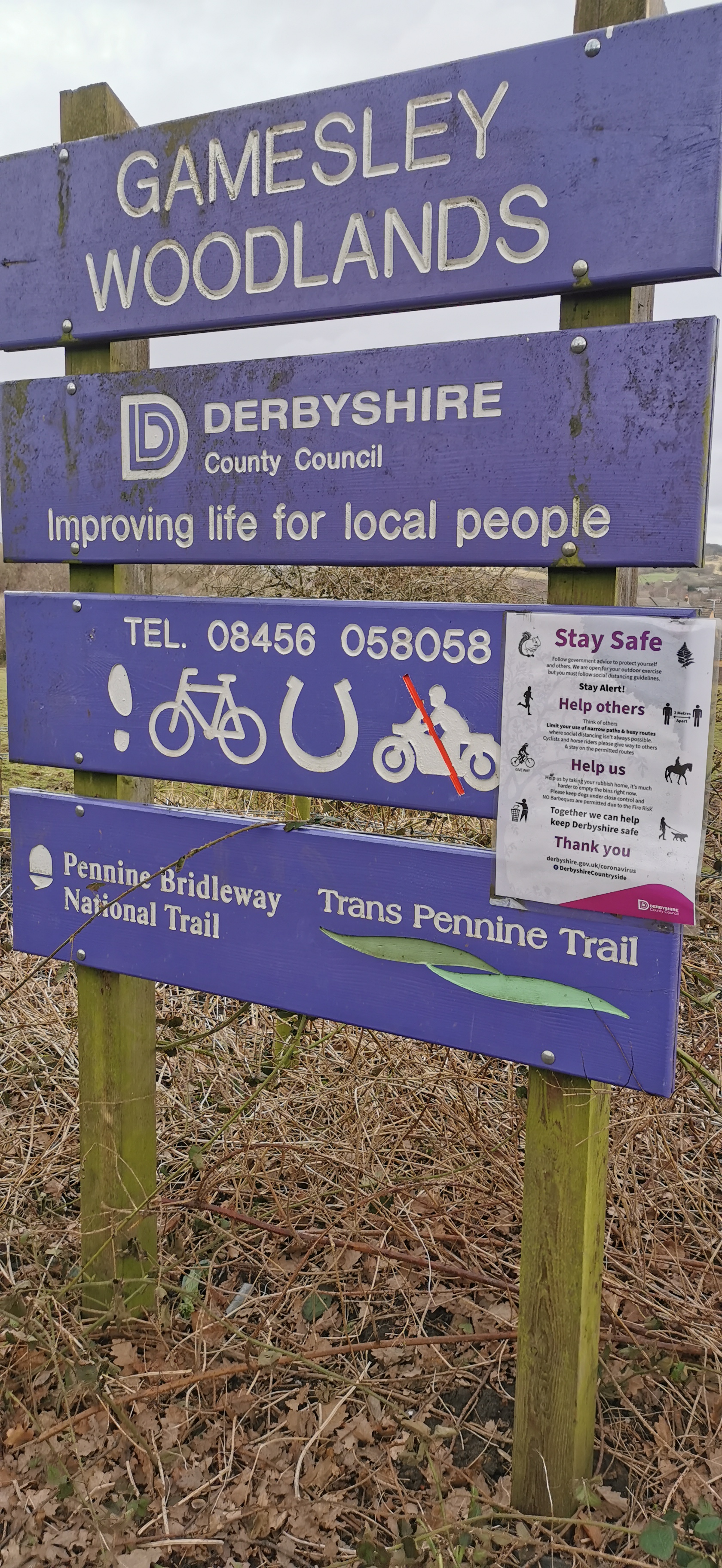
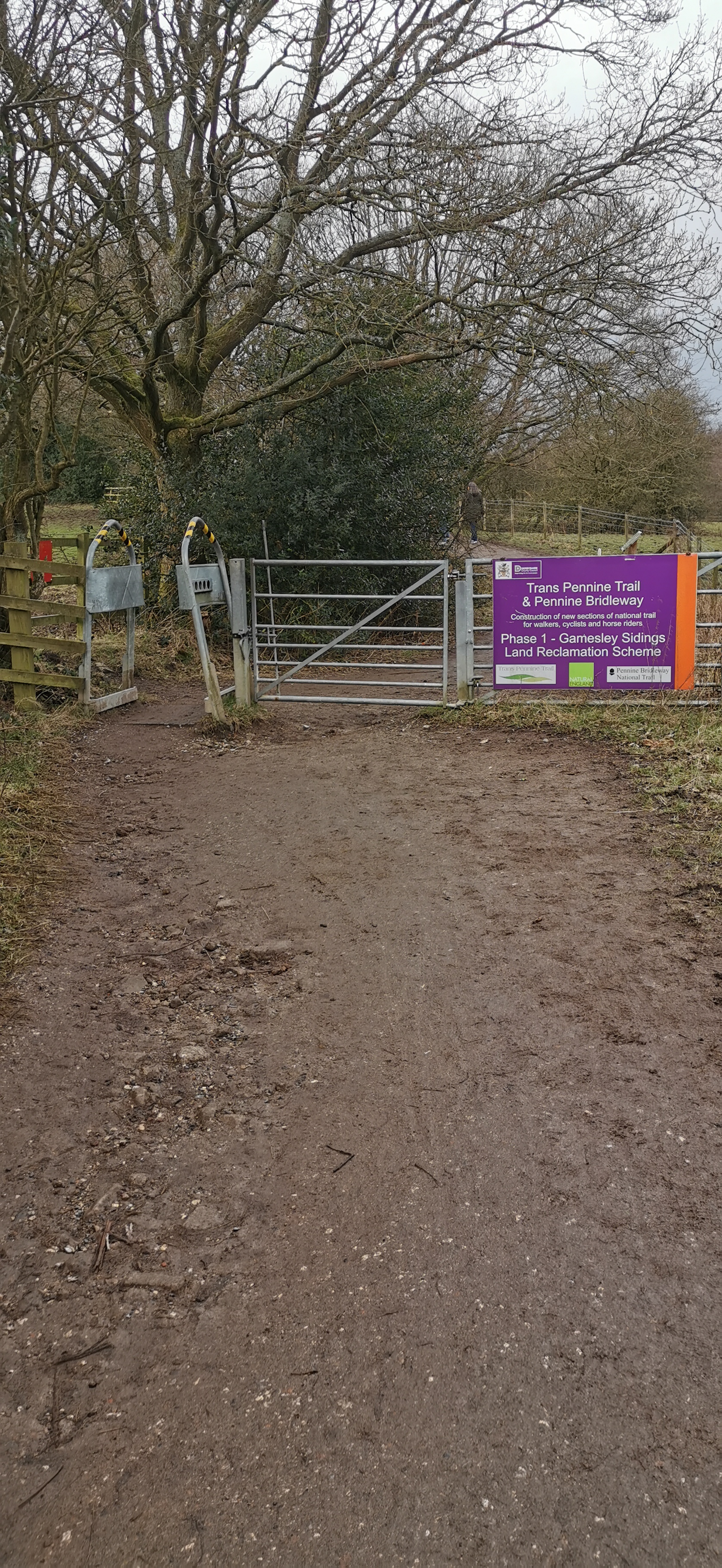
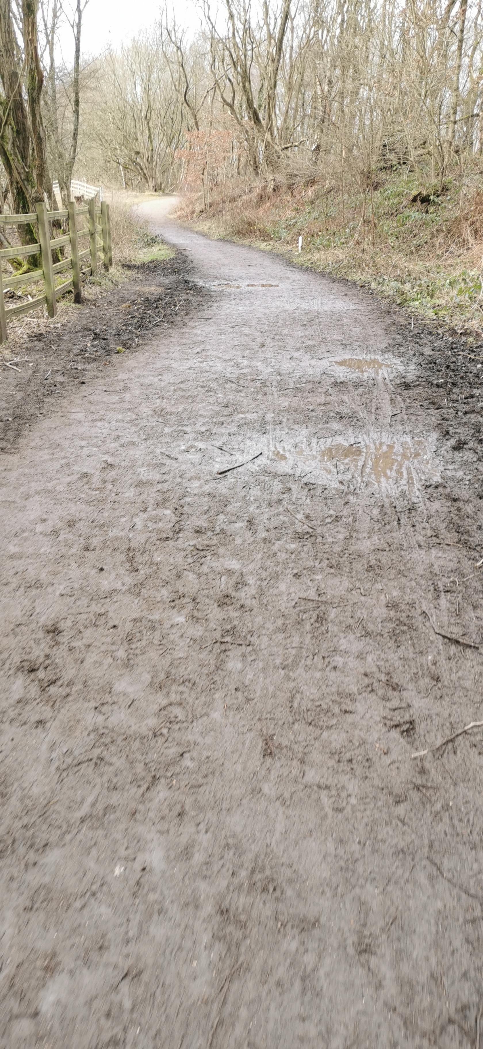
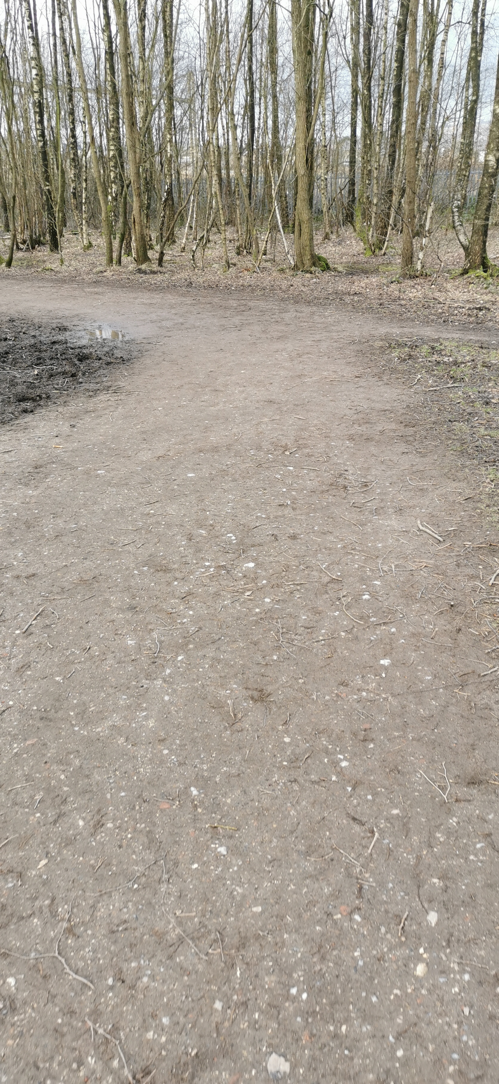
You might be able to see railway line from Manchester to Glossop & Hadfield on your right-hand side, through the trees, continue on the bridleway and pass under the brick arches of Glossop Road, the trail then splits in two, either way is fine, at the gate at the end of the trail turn right, after 75m turn left at the gate and zig-zag down the path to Long Lane and the River Etherow.
Gamesley Woodlands used to be a railway goods sidings and Dinting Goods Station occupied the spot where the line branched off to Waterside Mill. Under the bridge at Glossop Road there also used to be Mottram Yard Signal Box and Staff Halt, parts of the wood platform might still be hidden in the trees. The step up to the road are clearly visible but unsafe.
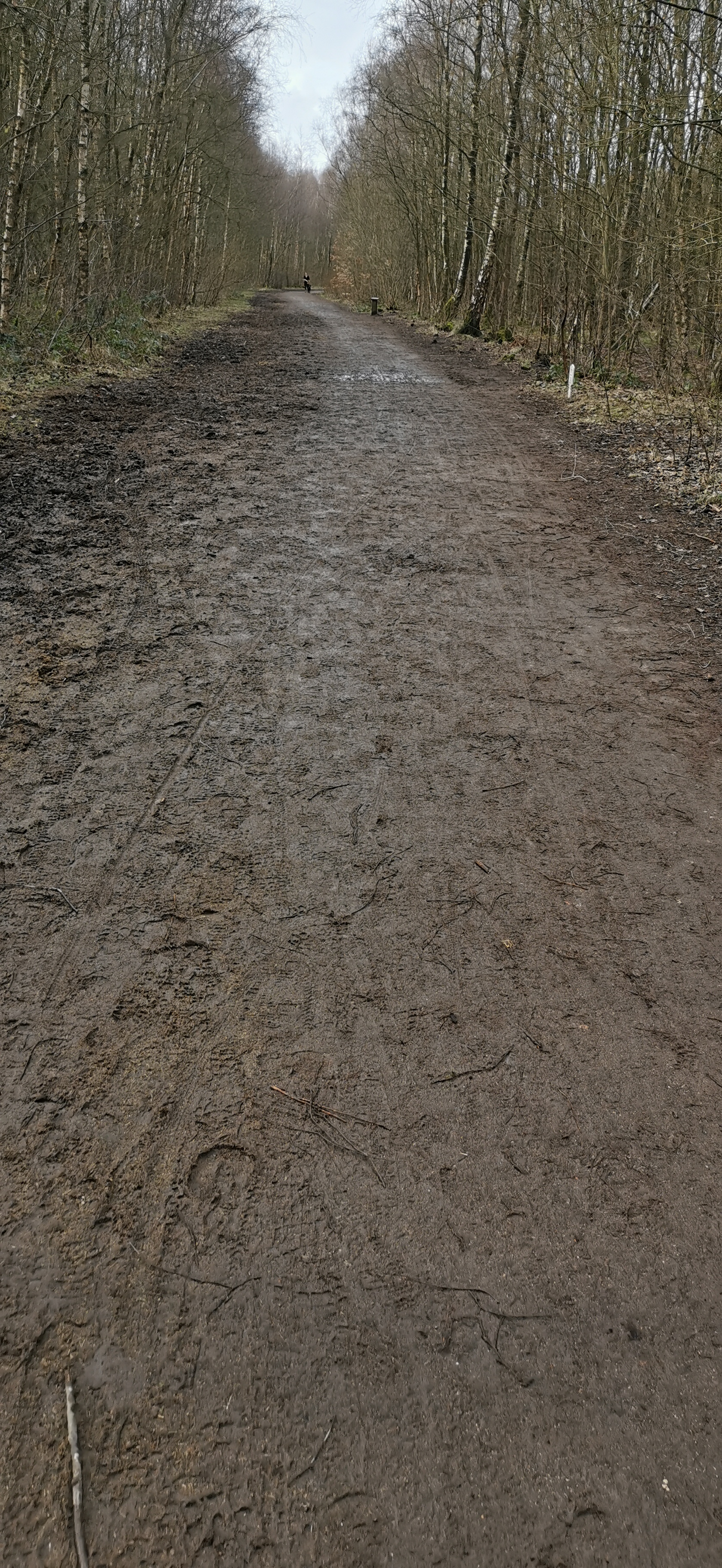
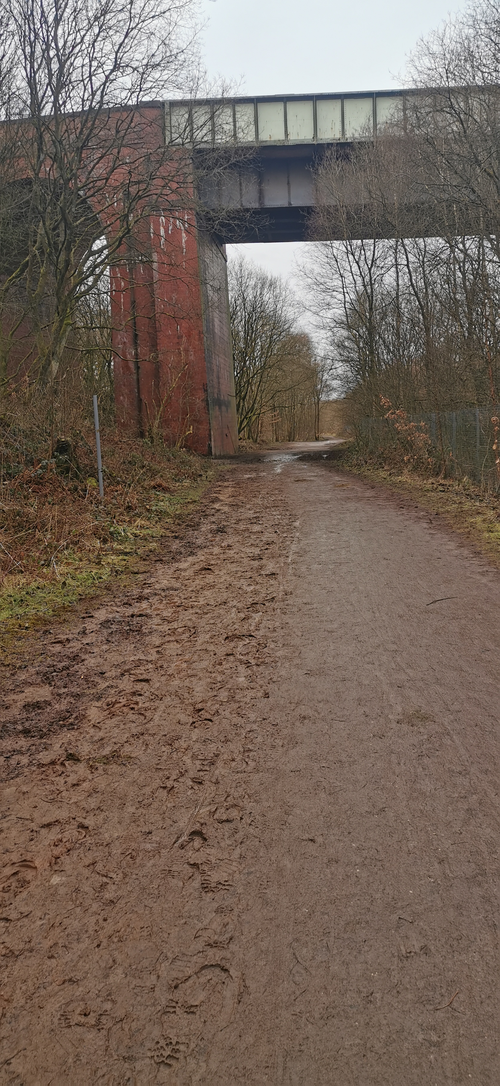
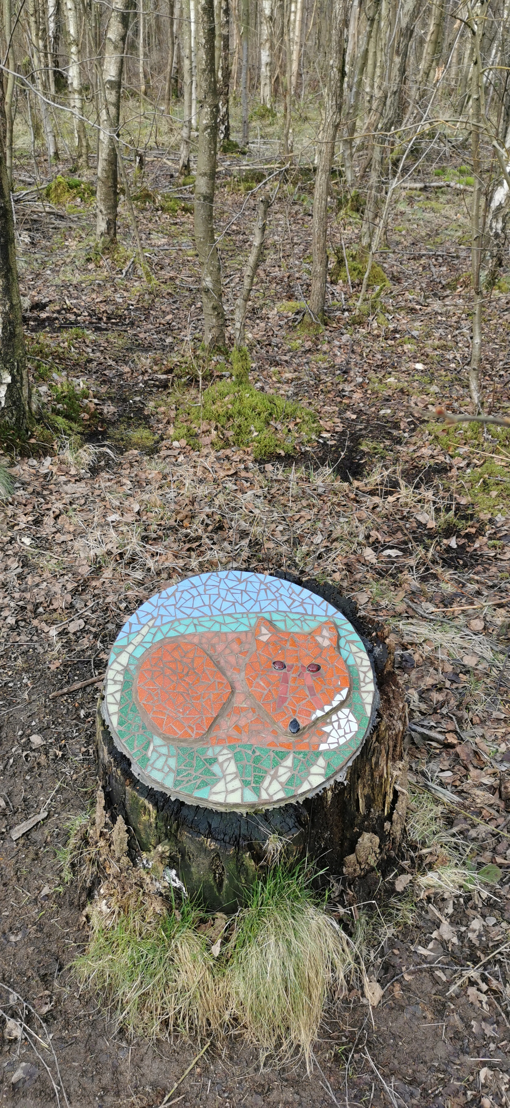
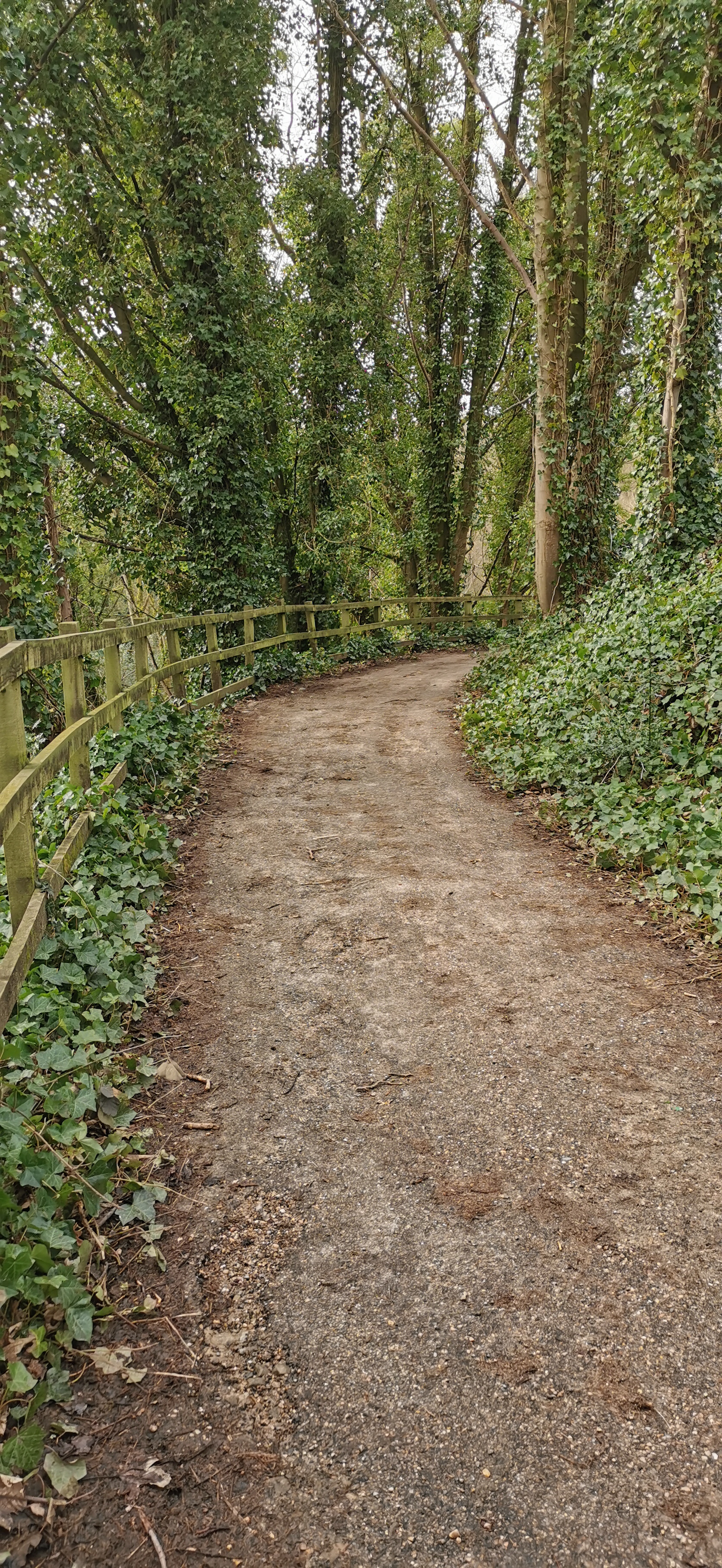
Don’t cross over the road bridge but walk on the smaller road alongside the River Etherow, turning right just before the new house at the footpath sign, then travel east along the path and then track towards Glossop Road, turn left onto Glossop Road and right following the Trans Pennine Trail sign and then left onto Melandra Castle Road. Follow the road all the way round to the remains of the Melandra Roman Fort settlement.
Broadbottom Bridge over the River Etherow was built in 1683 for transporting goods on pack horses, like salt from Cheshire, and wool from the Derbyshire farms. Broadbottom railway viaduct opened in 1842, originally of wooden construction supported by stone piers, the timber was replaced with wrought iron girders only 20 years later, they're now riveted steel girders. Best Mill occupied a spot by the river and Bankwood Print Works a bit further up the river.
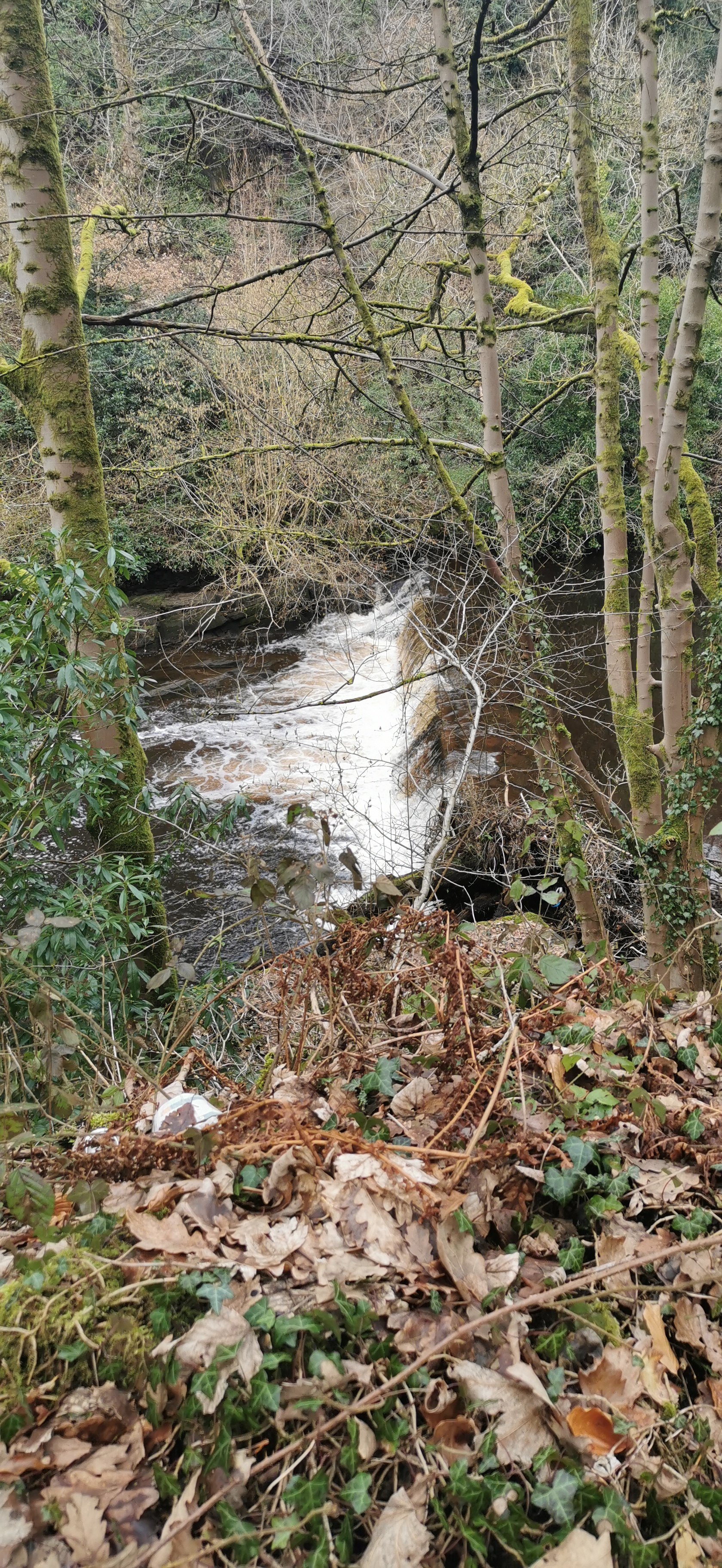
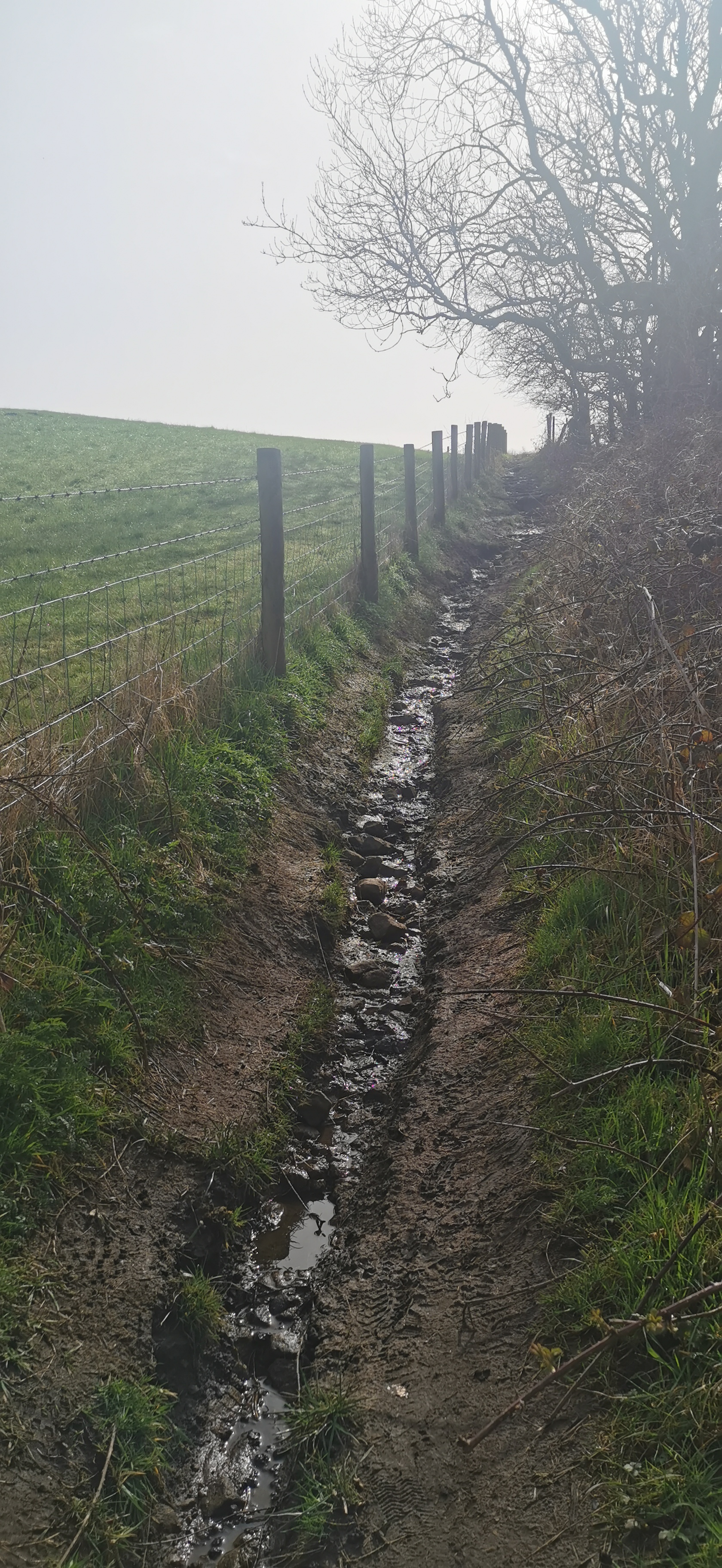
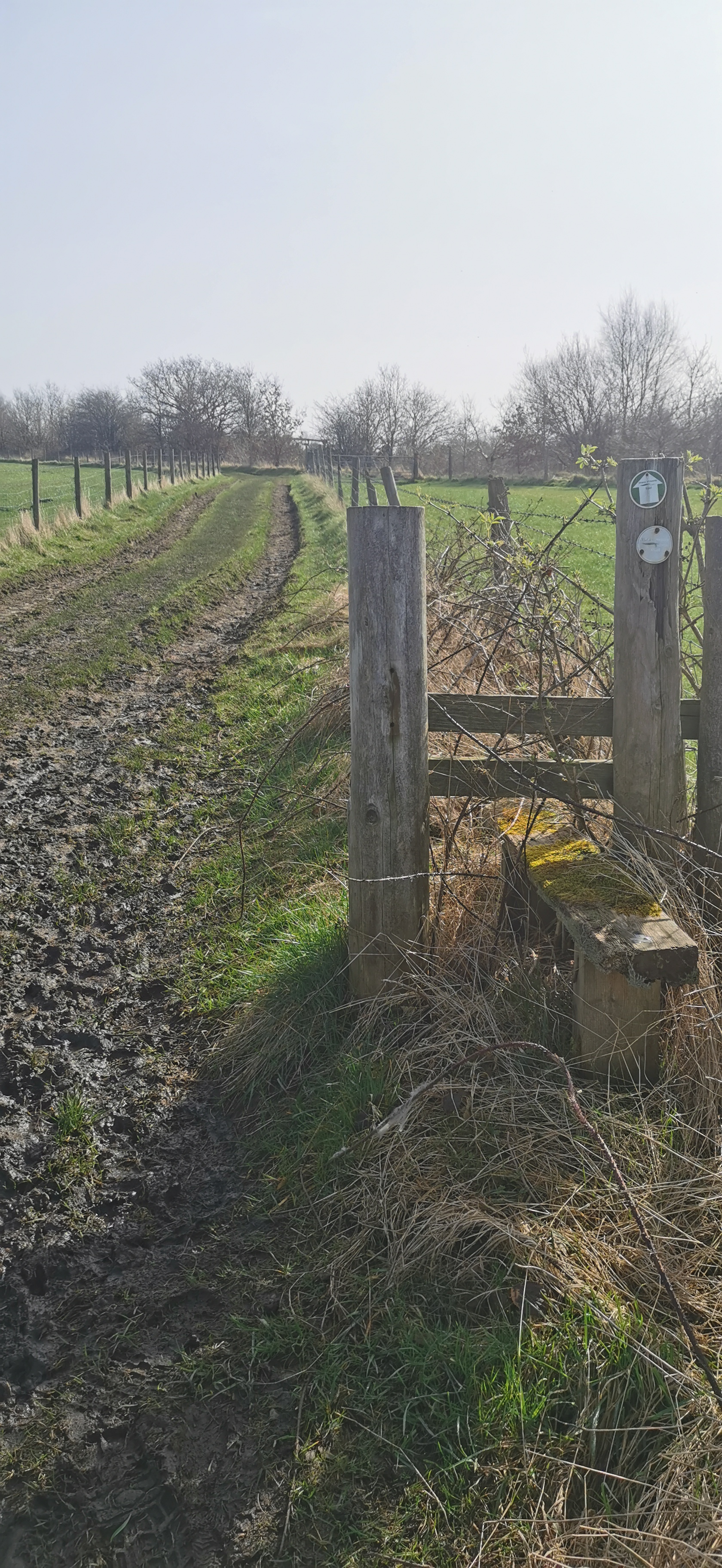
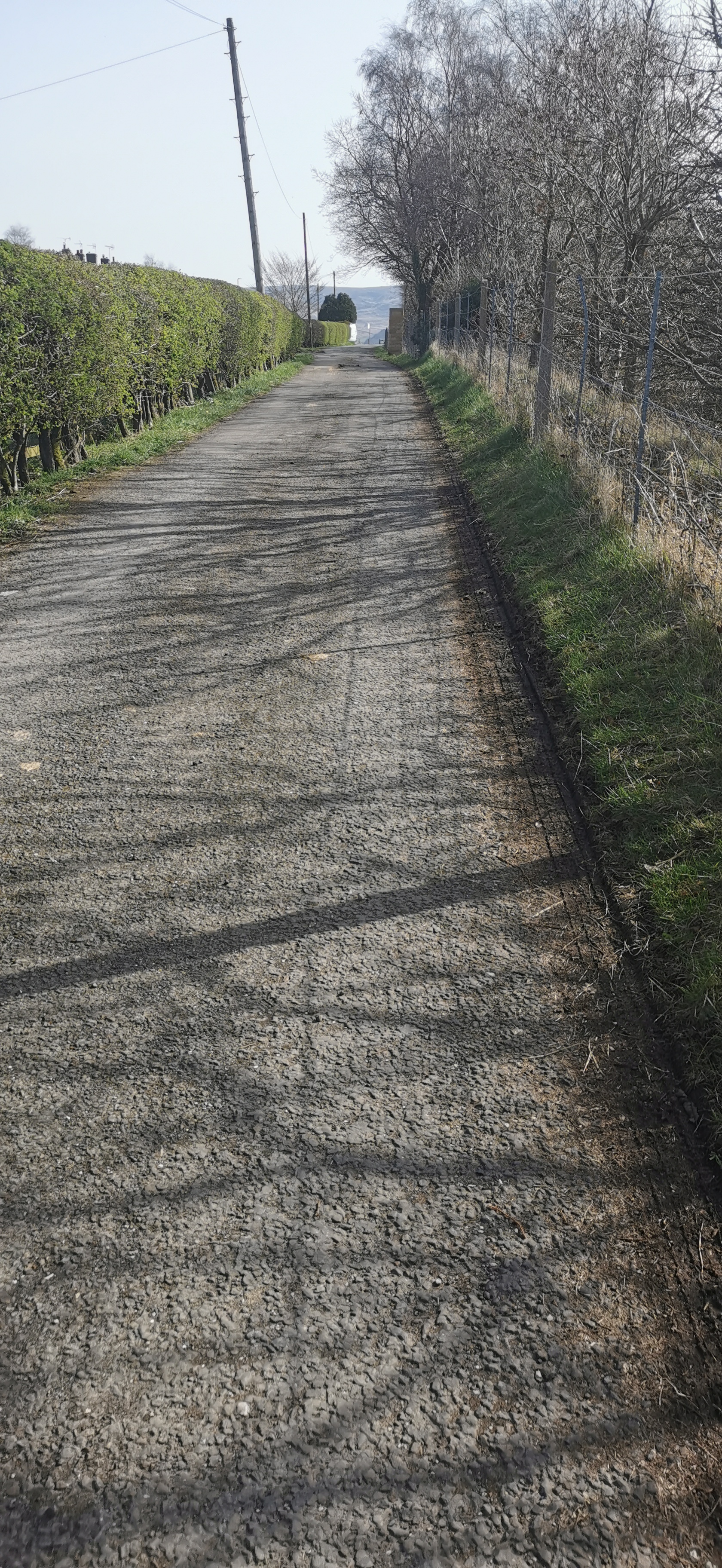
From Melandra Castle Road car park walk a quarter of the way around the ruins and head towards a bollard in the trees, follow the path through the trees and onto the NCN62 turning left heading north-west, continue on the NCN62 over Melandra Road and over the footbridge, heading north-east towards Brookfield and Woolley Lane.
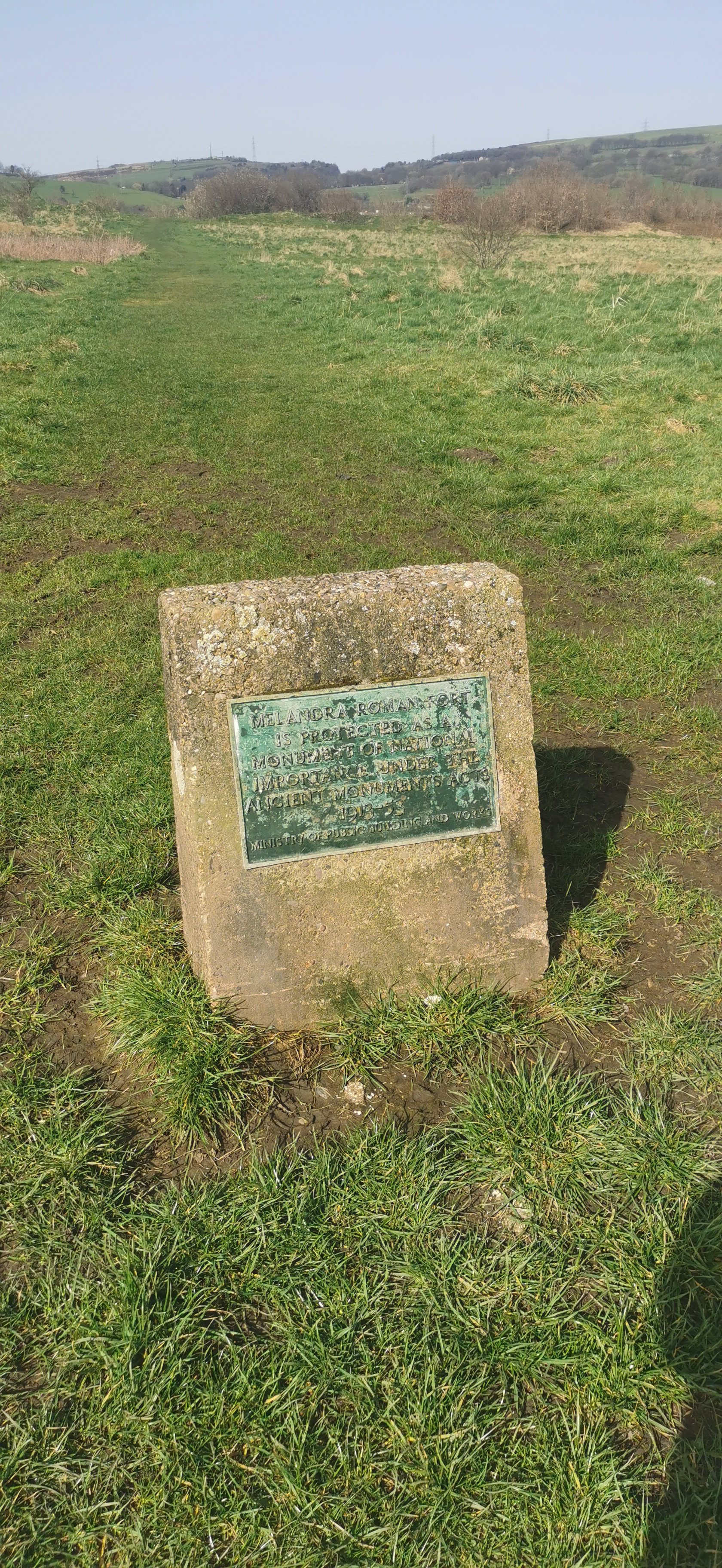
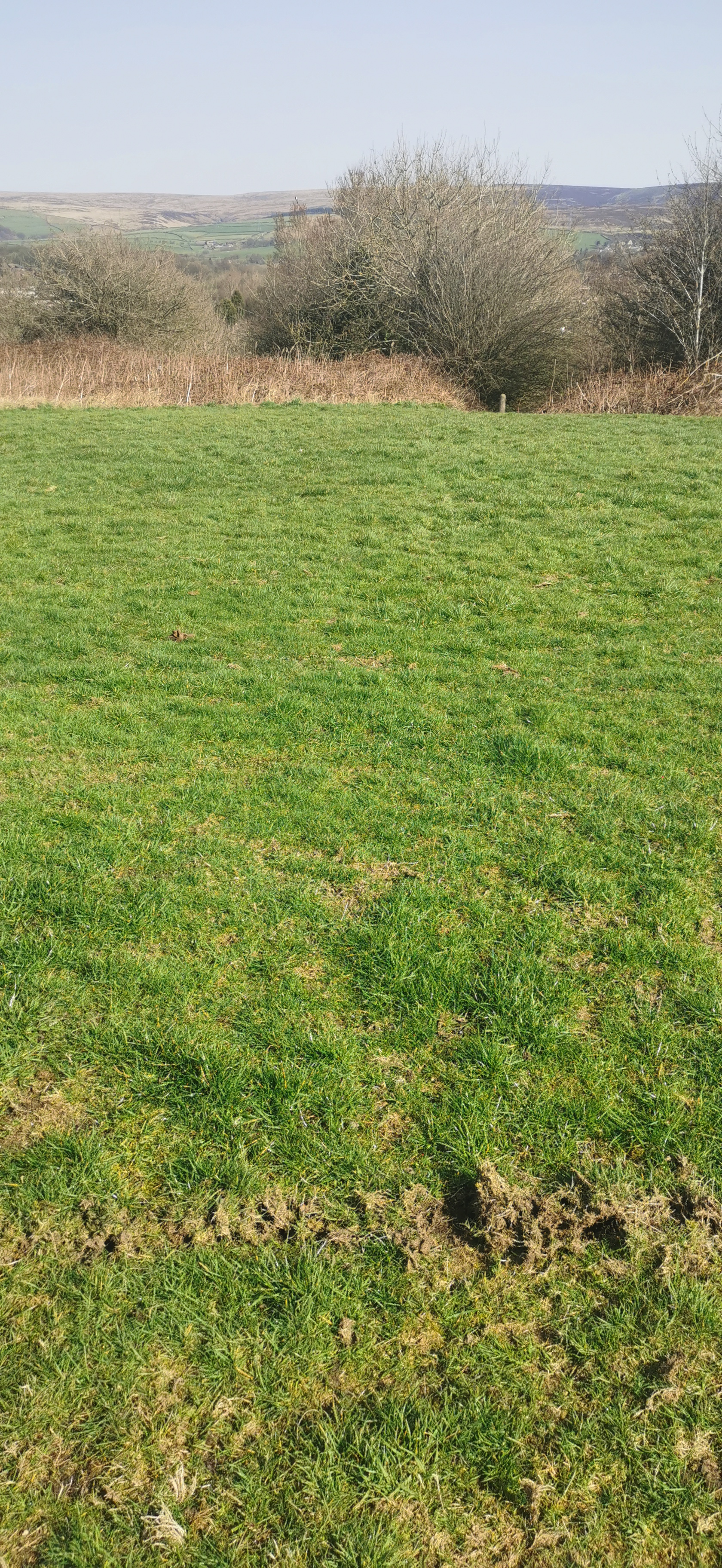
Melandra Roman Fort whose footprint can be seen in the grass, was built around 75 AD as part of a chain of military outposts providing security across the Peak District. A railway goods branch line of the Manchester, Sheffield and Lincolnshire Railway used to follow what is now the footpath to Woolley Lane, it opened in 1879 and a viaduct span the area near Melandra Castle.
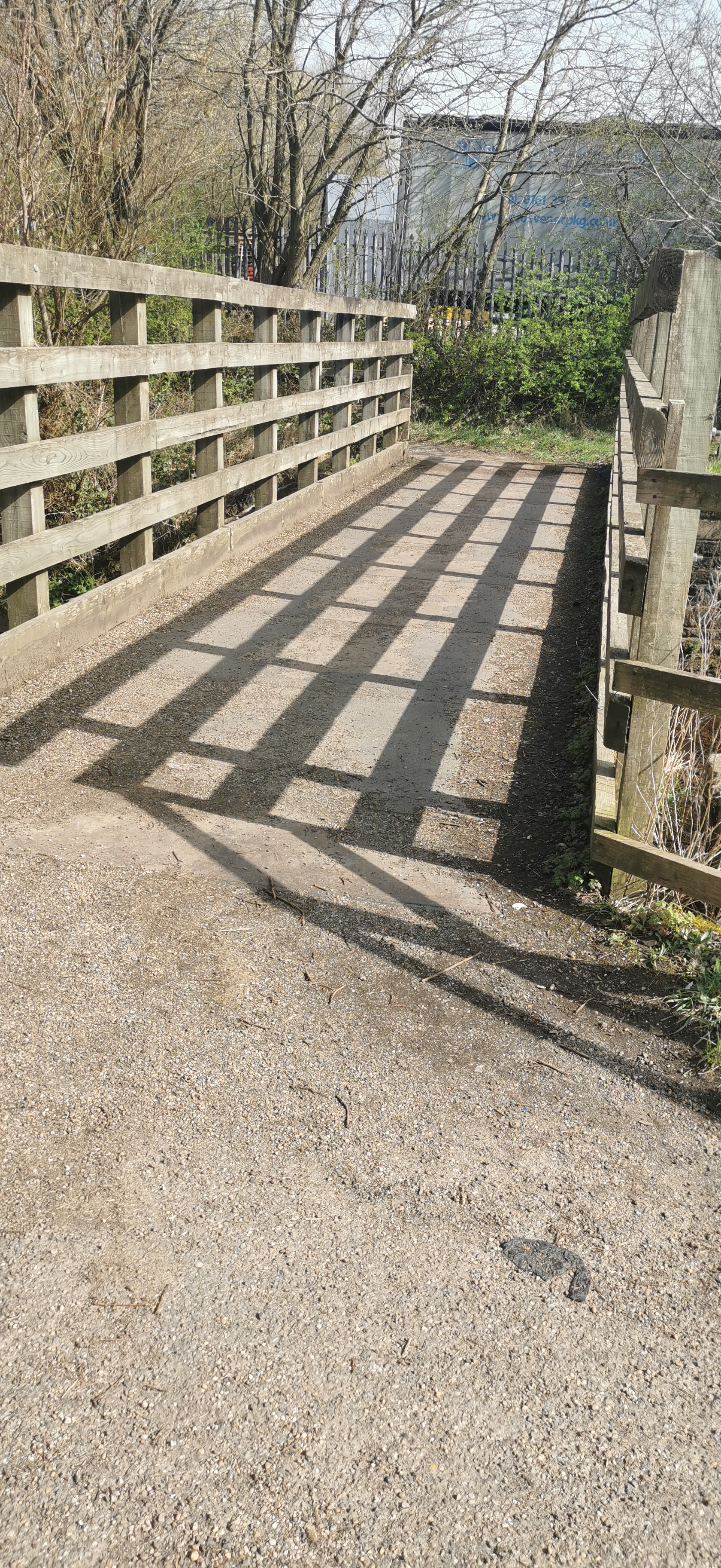
Continue to follow the Trans Pennine Trail / NCN62, crossing over Woolley Bridge Road and follow the footpath back towards the River Etherow.
The Waterside Branch Line was built by the Manchester. Sheffield, and Lincolnshire Railway to serve the Waterside and Bridge mills of the well-known Sidebottom family and railway bridge used to span the main road at Woolley Bridge, the line closed in 1964 and the bridge dismantled in 1966.
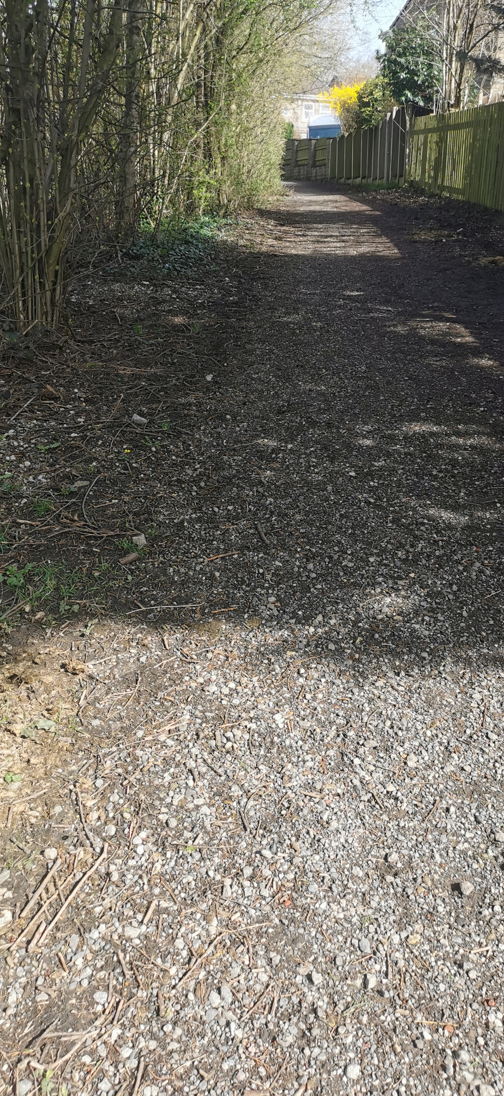
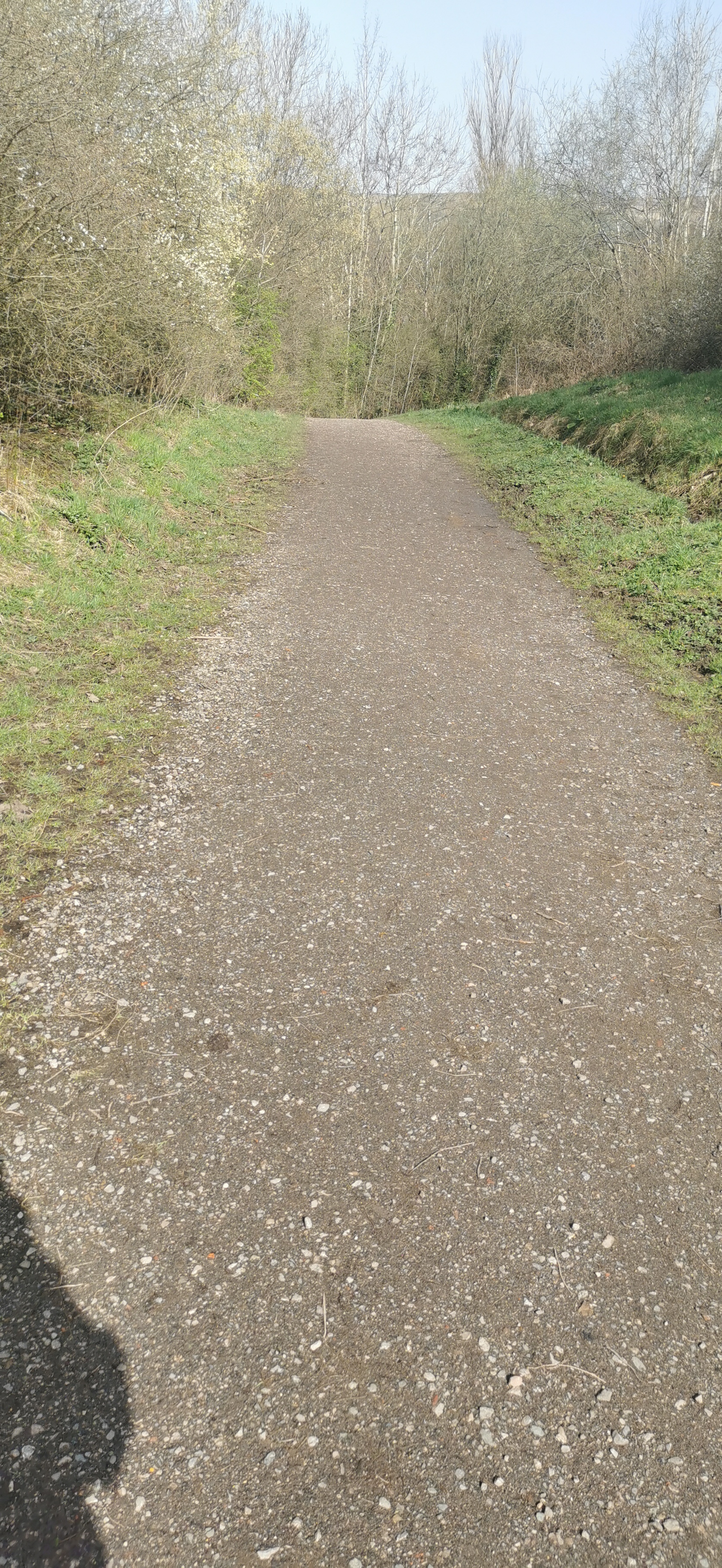
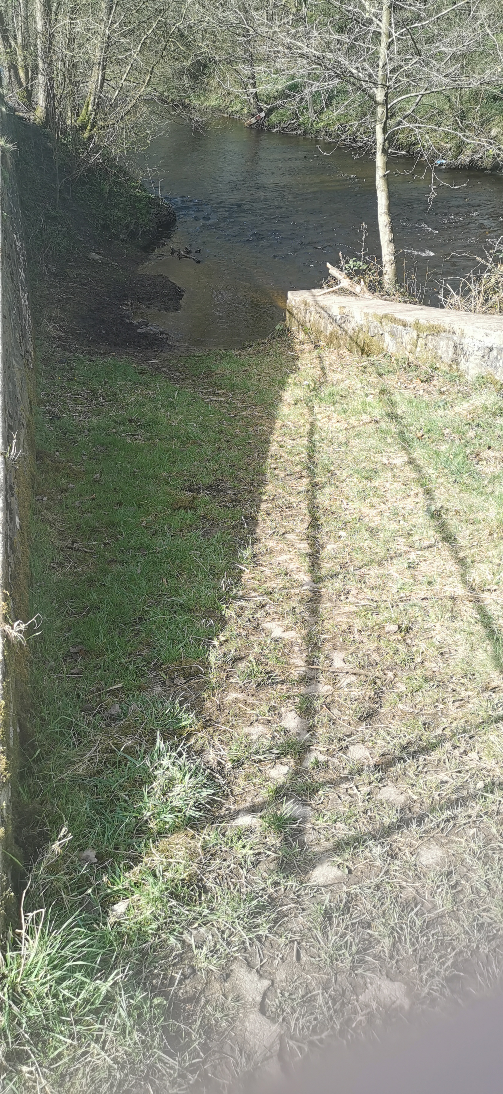
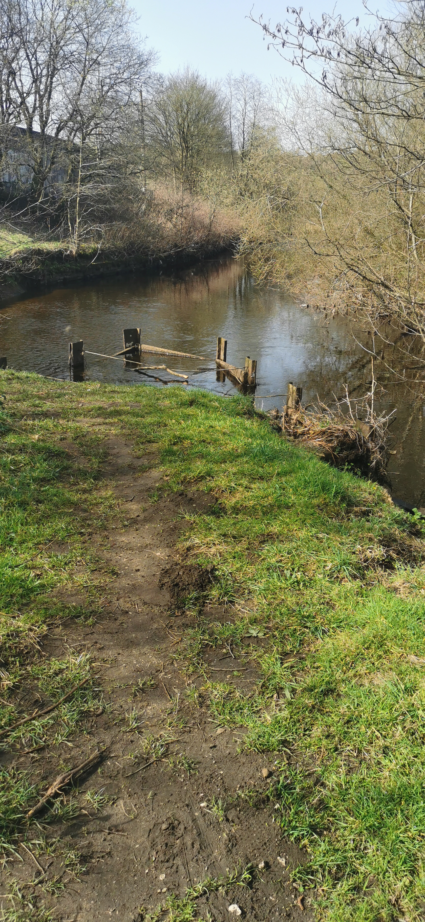
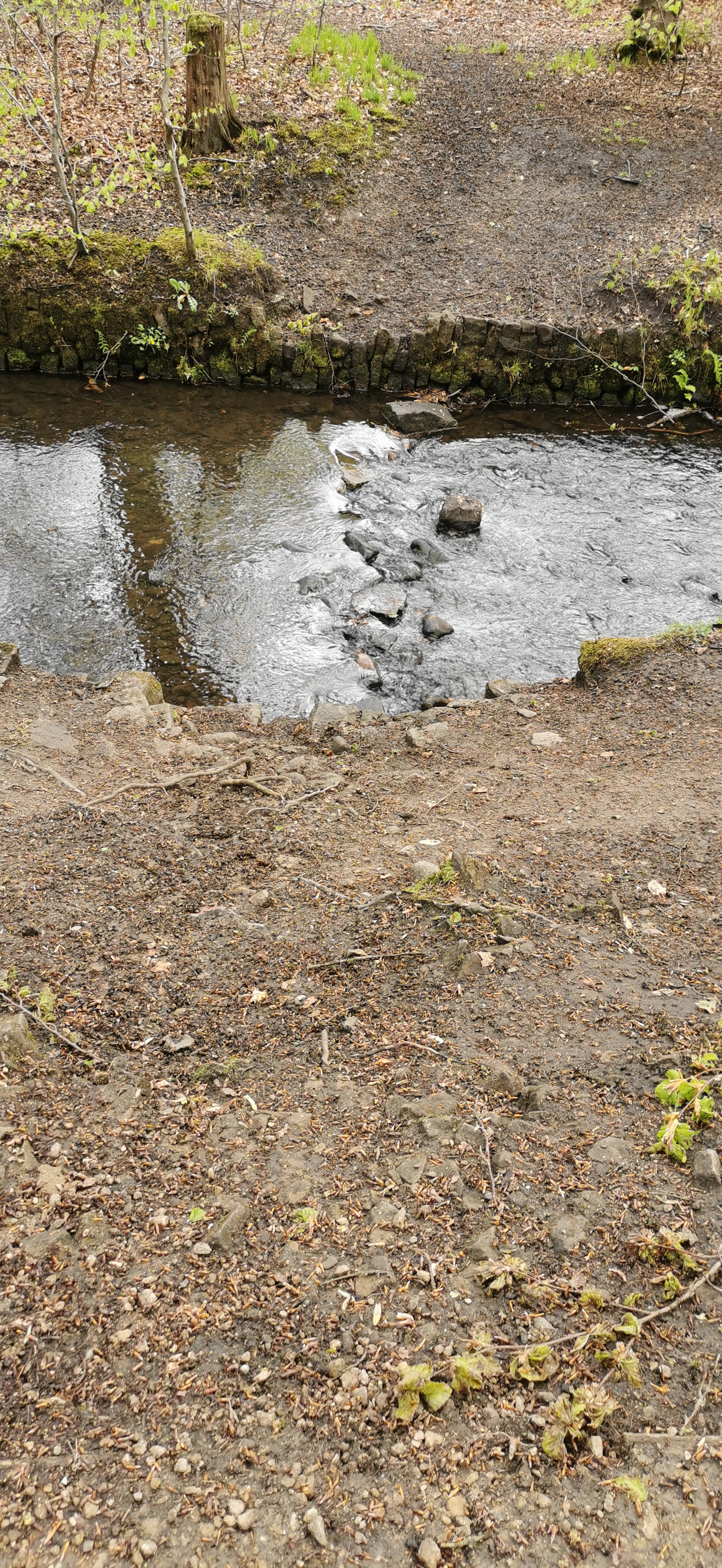
From the River Etherow near Graphite Way, continue to follow the path by the river for a short distance until you reach a footbridge across the river, cross over the bridge and stay on the straight path for 60m where you see some makeshift stepping stones over a stream. After crossing the stream, turn right and follow the path along the river. Stay on the main path and turn right when you get to wider path near the school (green fence), follow this path east until you reach New Road, turn right on New Road and just before the traffic lights turn left into Bank Lane. Take the footpath on the right, down the steps and you’ll reach Bottoms Reservoir.
The River Etherow rises in the Redhole Spring and Wike Head area of Pikenaze Moor in Derbyshire, the river broadens into the Longdendale Chain of reservoirs (Woodhead, Torside, Rhodeswood, Valehouse and Bottoms reservoirs). It emerges again in Tintwistle, at the foot of Bottoms Reservoir dam, later it is joined by Glossop Brook and flows into the River Goyt near Marple. Four miles downstream the River Goyt joins the Rive Tame and becomes the start of the River Mersey.
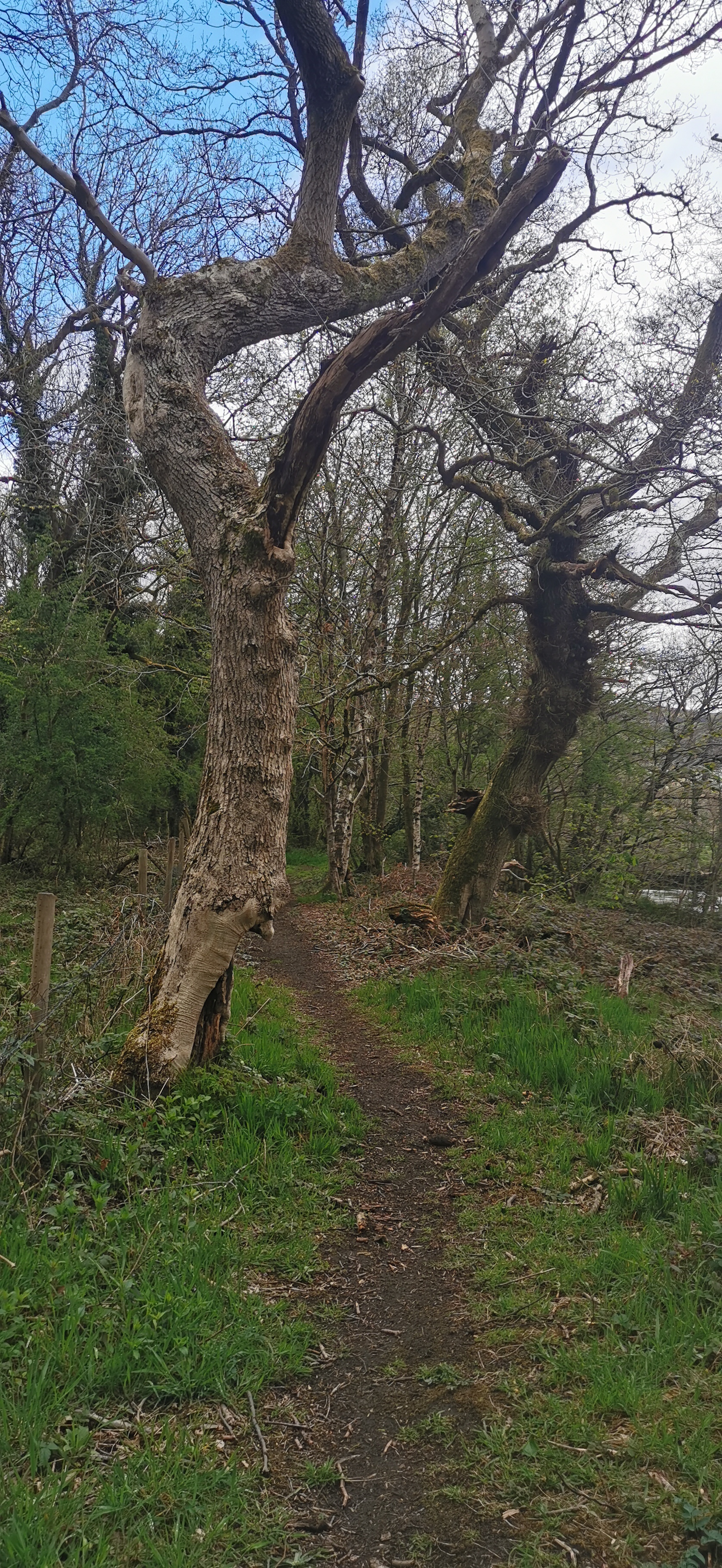
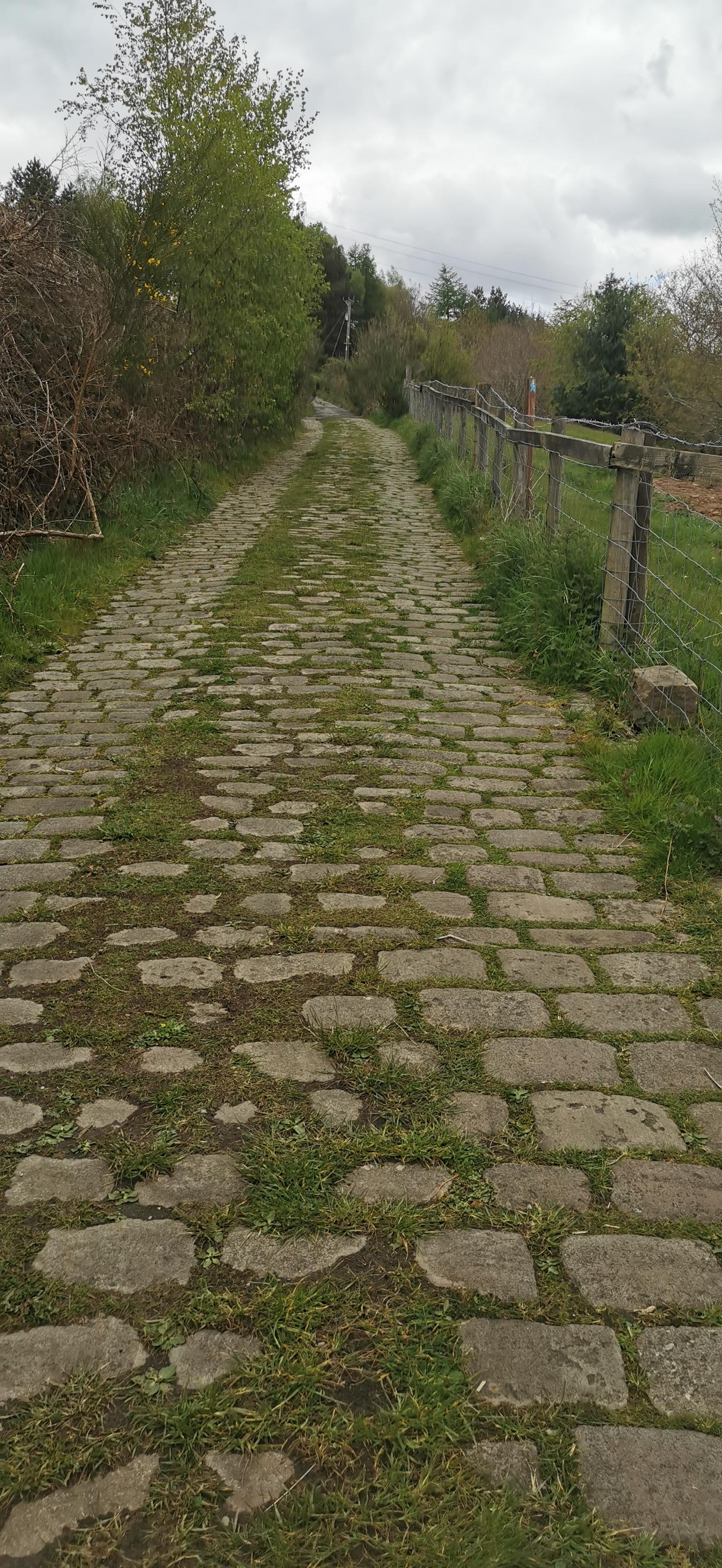
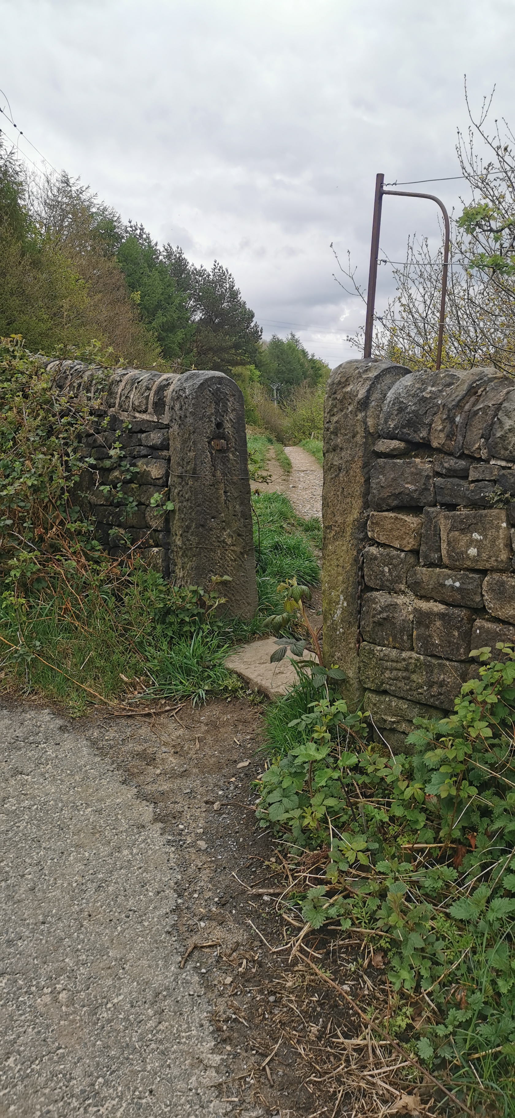
Walk along the footpath by the edge of Bottoms Reservoir for about 1km then make a left turn at the gate signposted toward the Trans Pennine Trail (TPT). Walk diagonally and up through field until you find the subway under the Longdendale Trail.
Bottoms Reservoir was constructed between 1865 and 1877, by John Frederick Bateman as part of the Longdendale chain to supply water from the River Etherow to the urban areas of Greater Manchester. When full it contains 3 million cubic metres of water equivalent to 1,200 Olympic swimming pools.
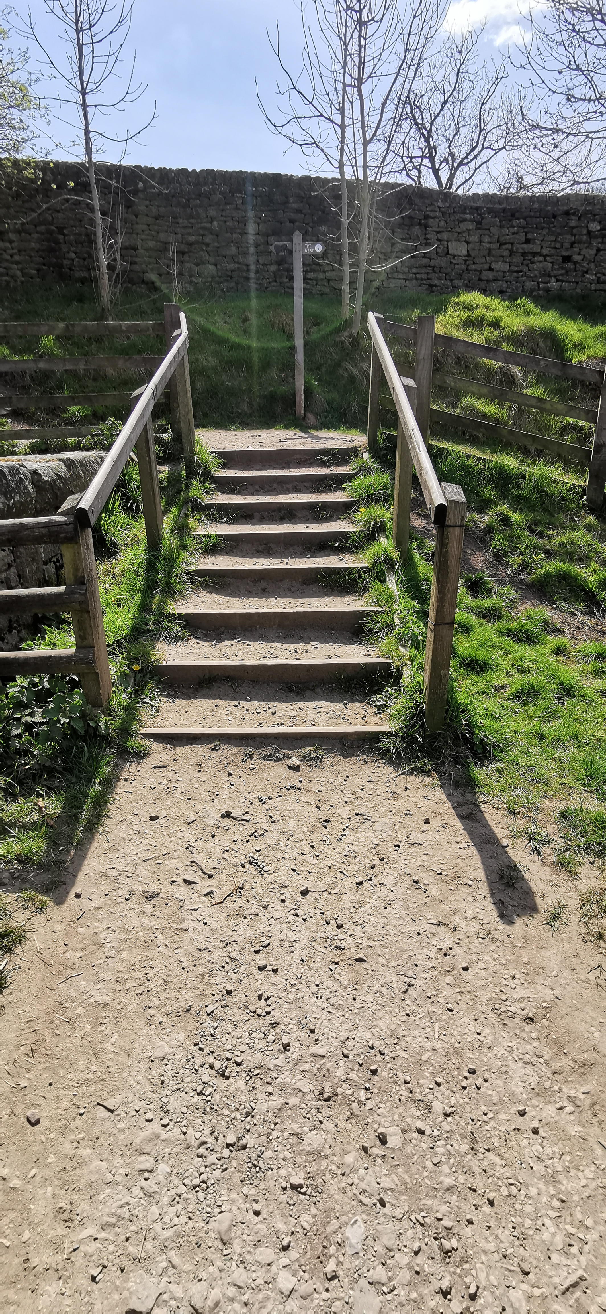
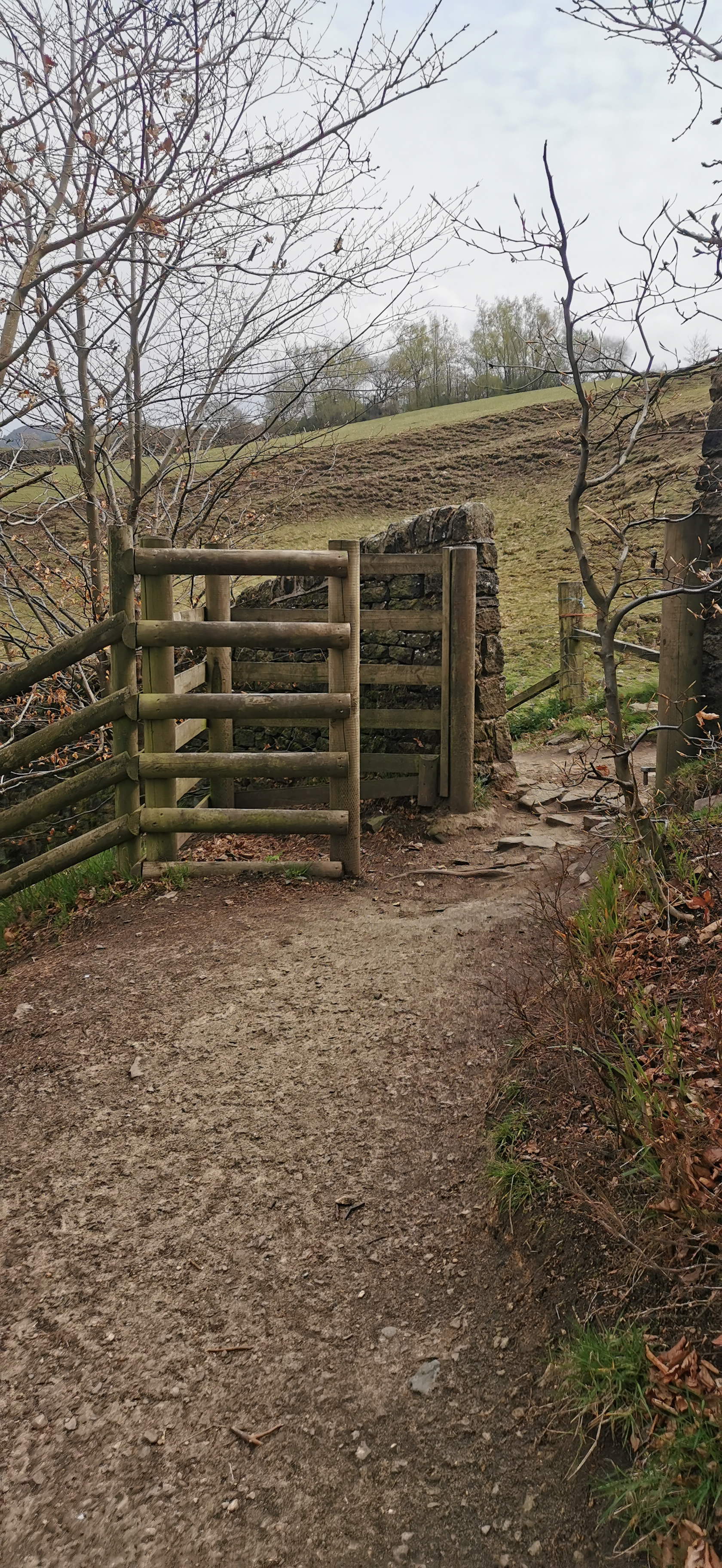
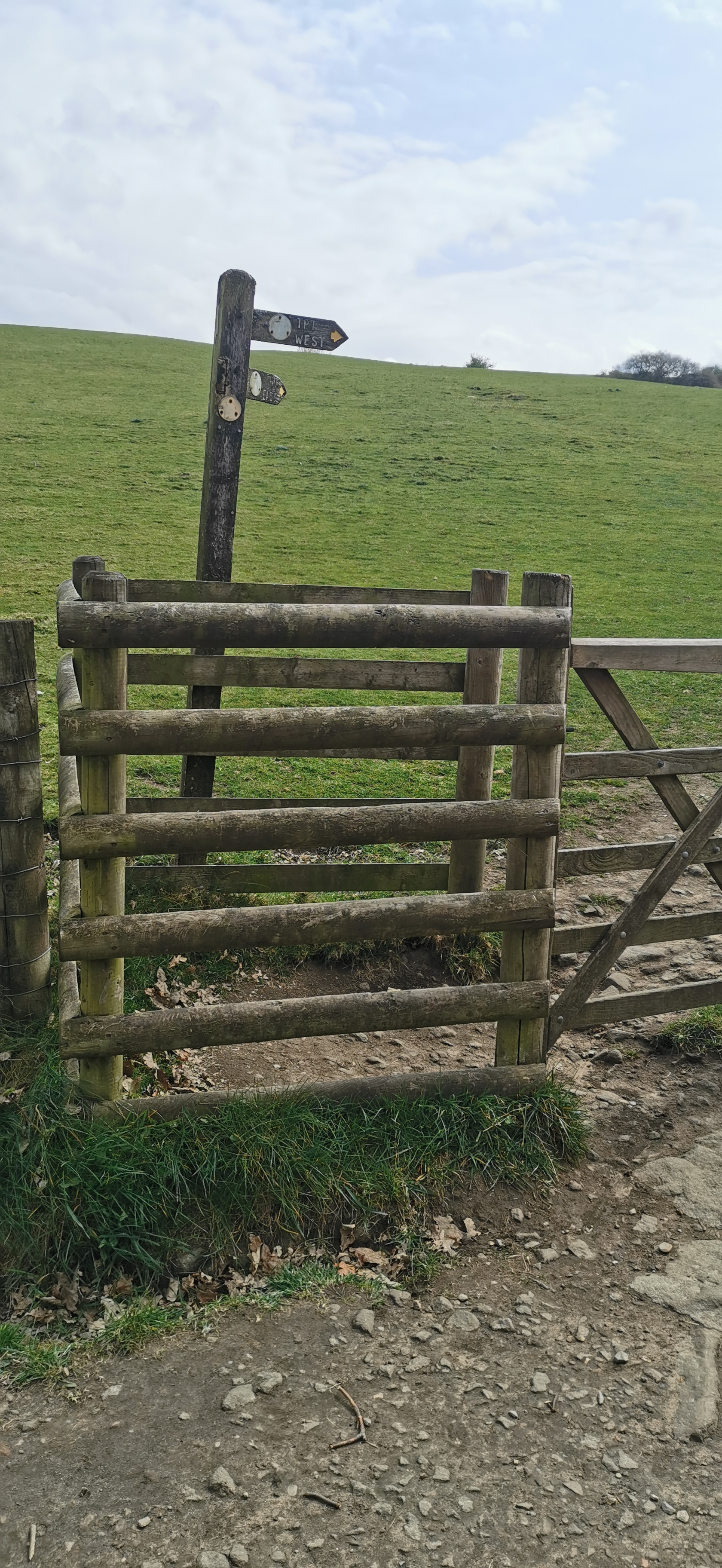
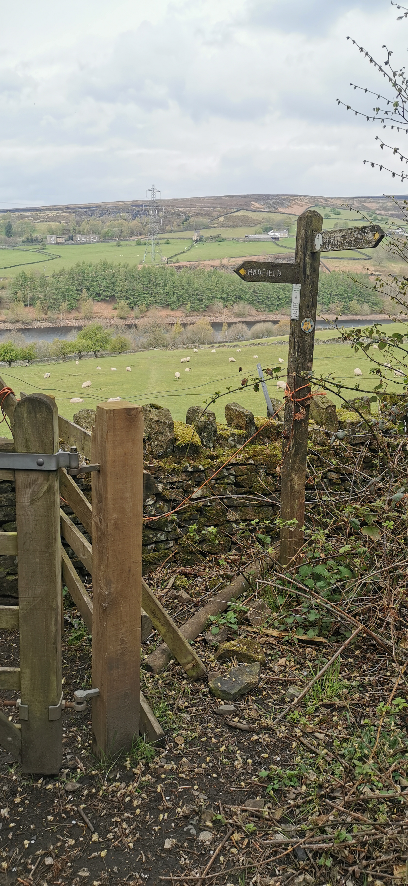
From the subway under the Longdendale Trail head south-east over the stile and up the hill through the field to another stile onto a track. Turn left and follow the track all the way to Padfield. The track brings you out onto Padfield Main Road, (turn right for the Peel Arms pub) or turn left and head up the road turn right at Peel Street. Follow the path and about four stiles, the path eventually brings you out onto Little Padfield Road, turn left in to Little Padfield.
The Longdendale Trail follows the route of the railway line from Manchester to Sheffield originally opened by the Sheffield, Ashton-under-Lyne and Manchester Railway. Woodhead station was opened on 8 April 1844 and closed on 27 July 1964 but the line remained open for passenger trains until 1970 and to freight traffic until 1981.
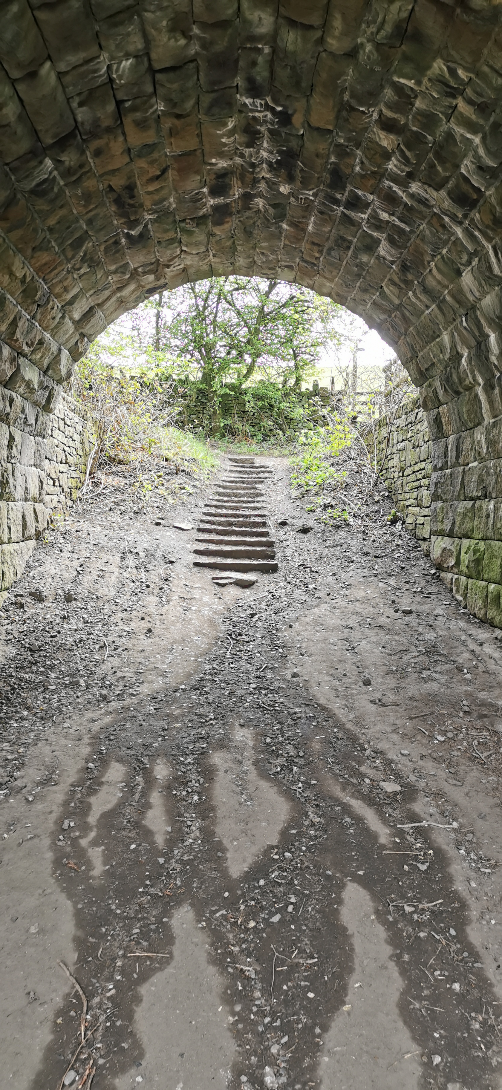
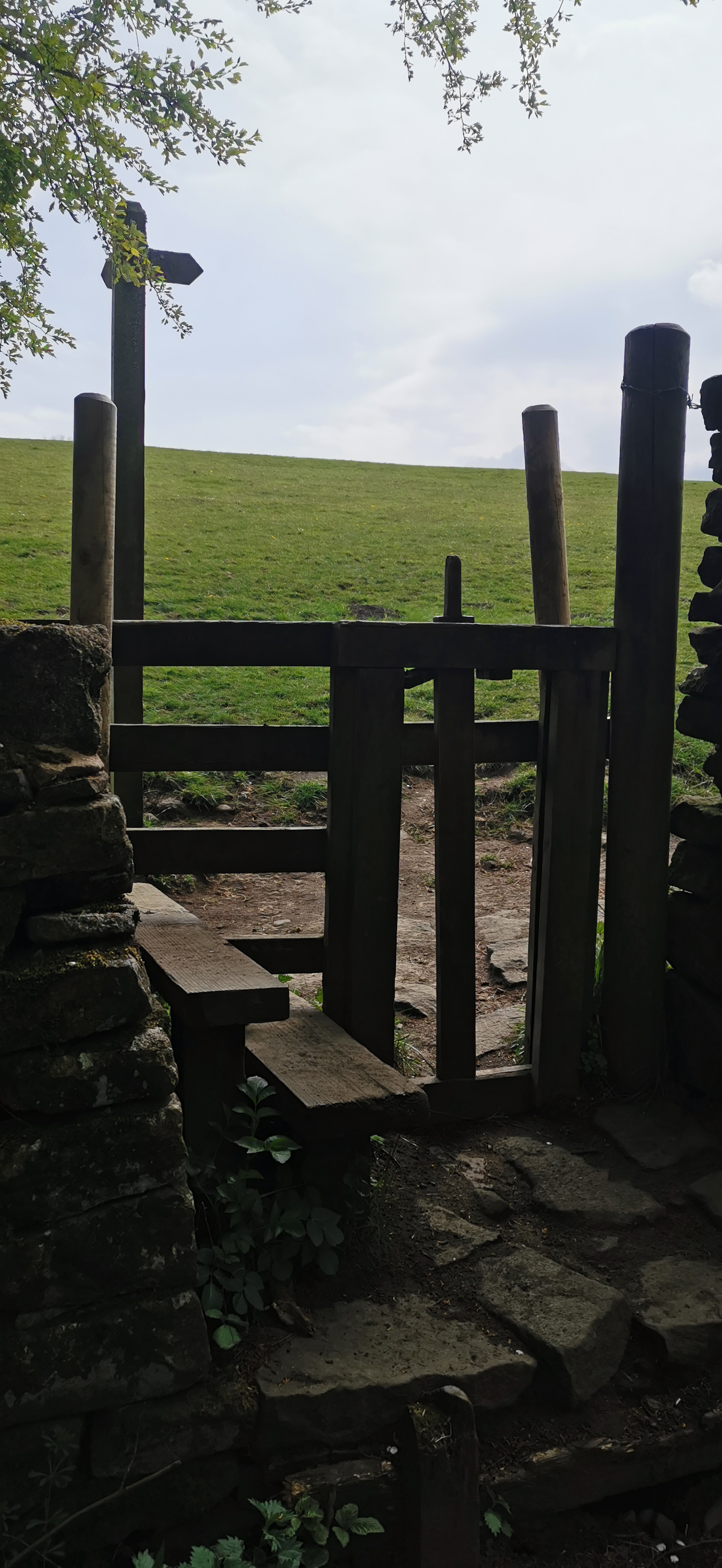
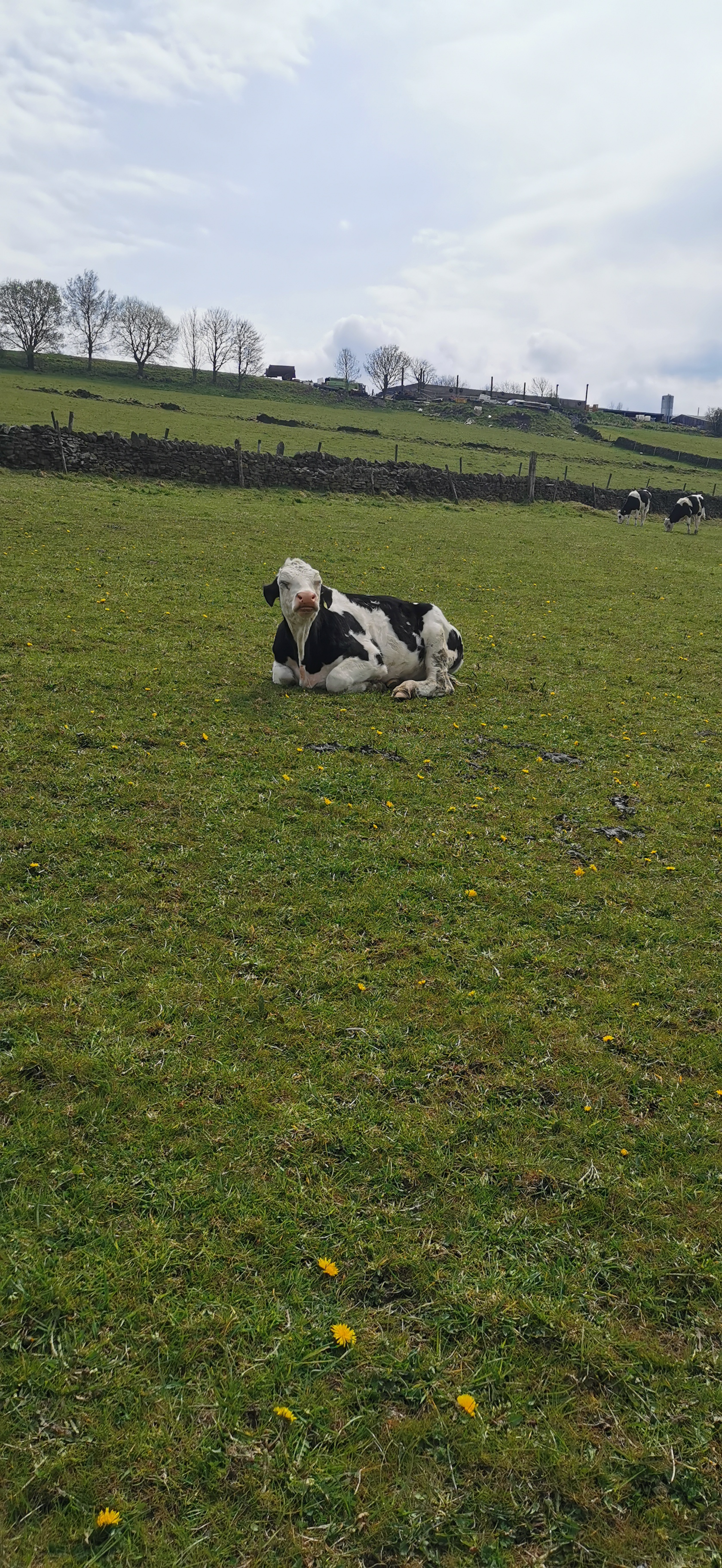
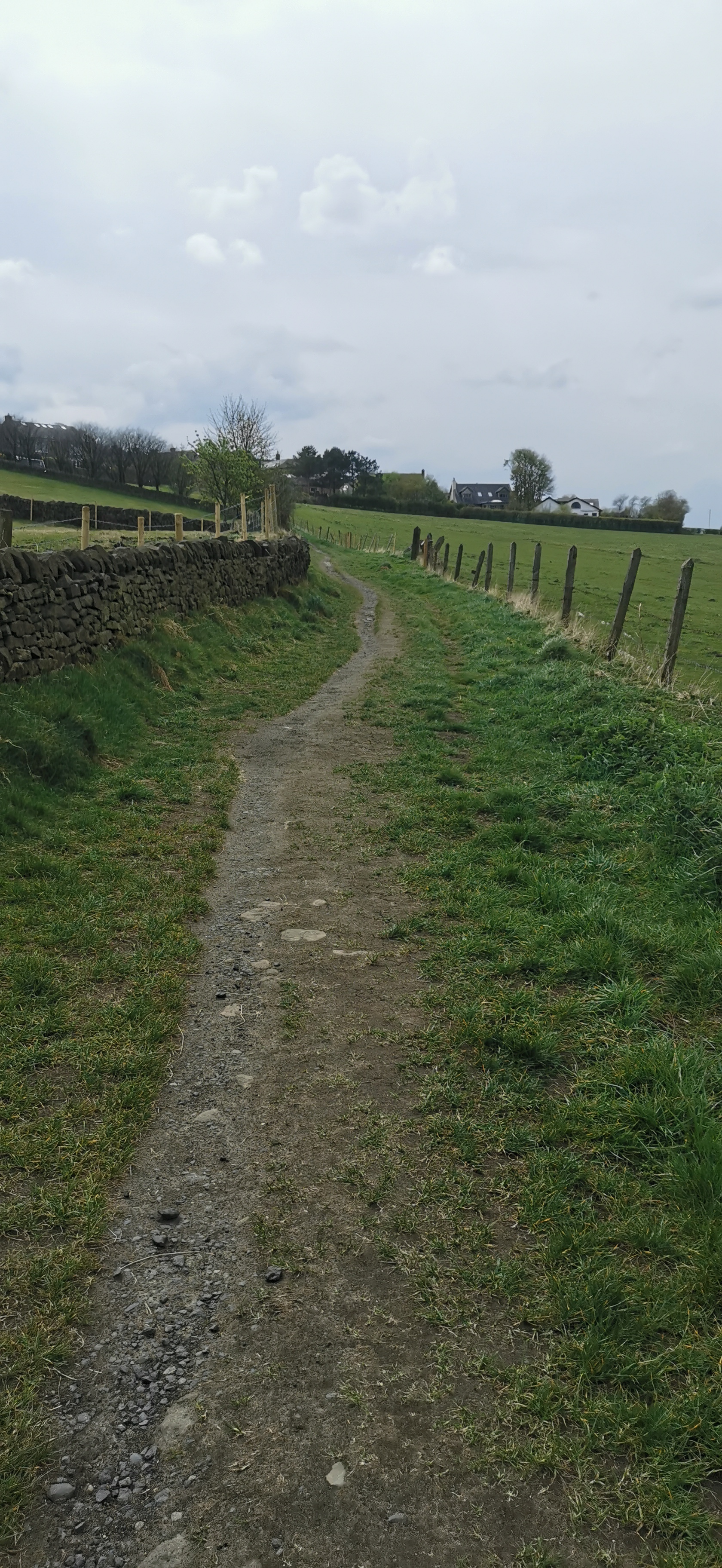
Follow the road through Little Padfield to a footpath on your right, through the gate and into the field. Follow the wall on your right, over the stone stile to the footpath sign. Follow the route to Allman's Heath & Swineshaw over the stile and small stream. Follow the path up the hill towards Glossop Cemetery. Follow the cemetery wall to a small derelict building and then through a stonemason's yard to The Byre cottage and onto Woodhead Road. Turn left onto Woodhead Road.
Little Padfield was mentioned in the Domesday Book of 1086. In the Domesday Book, Derbyshire was divided into the 6 wapentakes of Apultre, Hamestan, Littlechirch, Morlestan, Scarvedale, and Walecross, and a district called Peche-fers (Peak Forest). William the Conqueror was the tenant-in-chief of Little Padfield. The Farmhouse is Grade II listed and dates from the late 17th century, built of coursed millstone grit, with tooled dressings and stone slate roof. Stone stacks with watertabling.
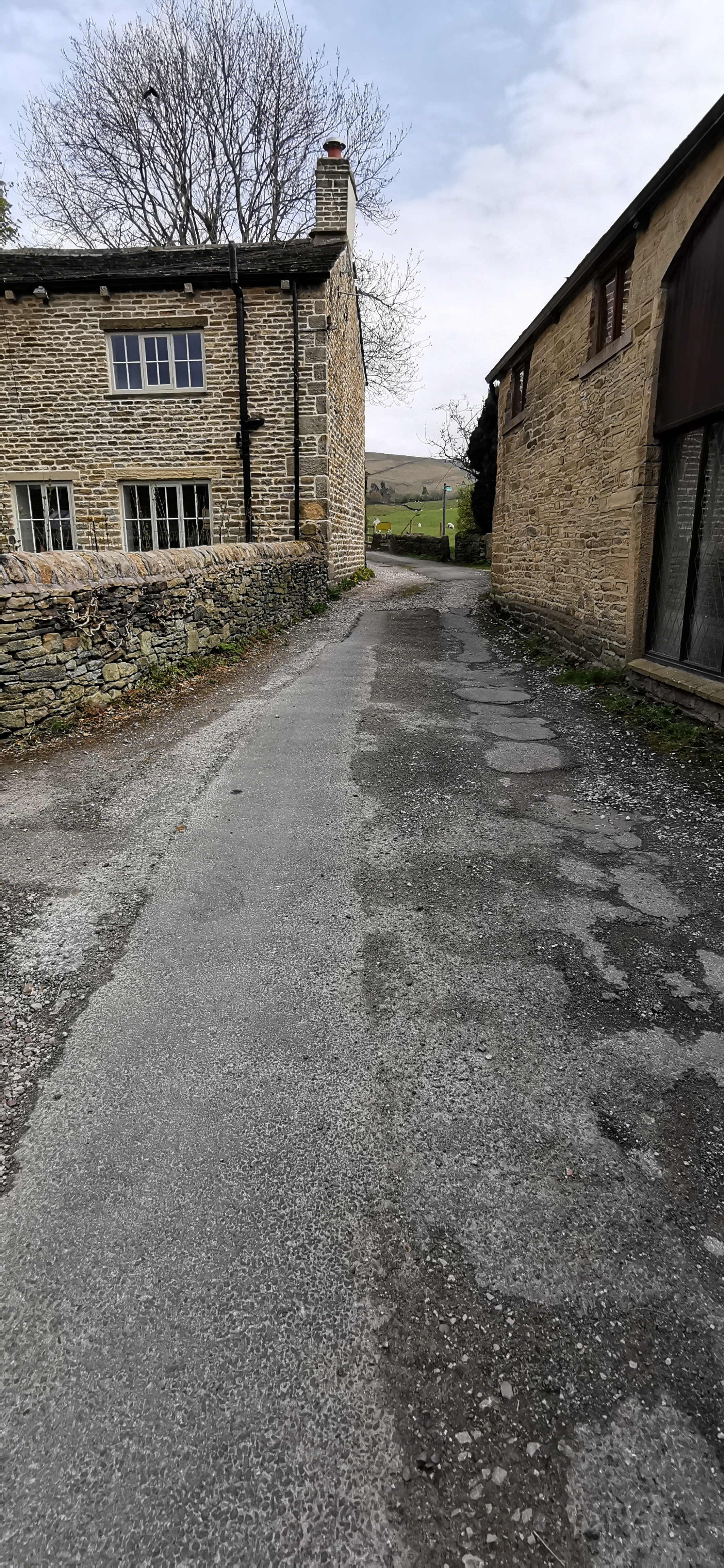
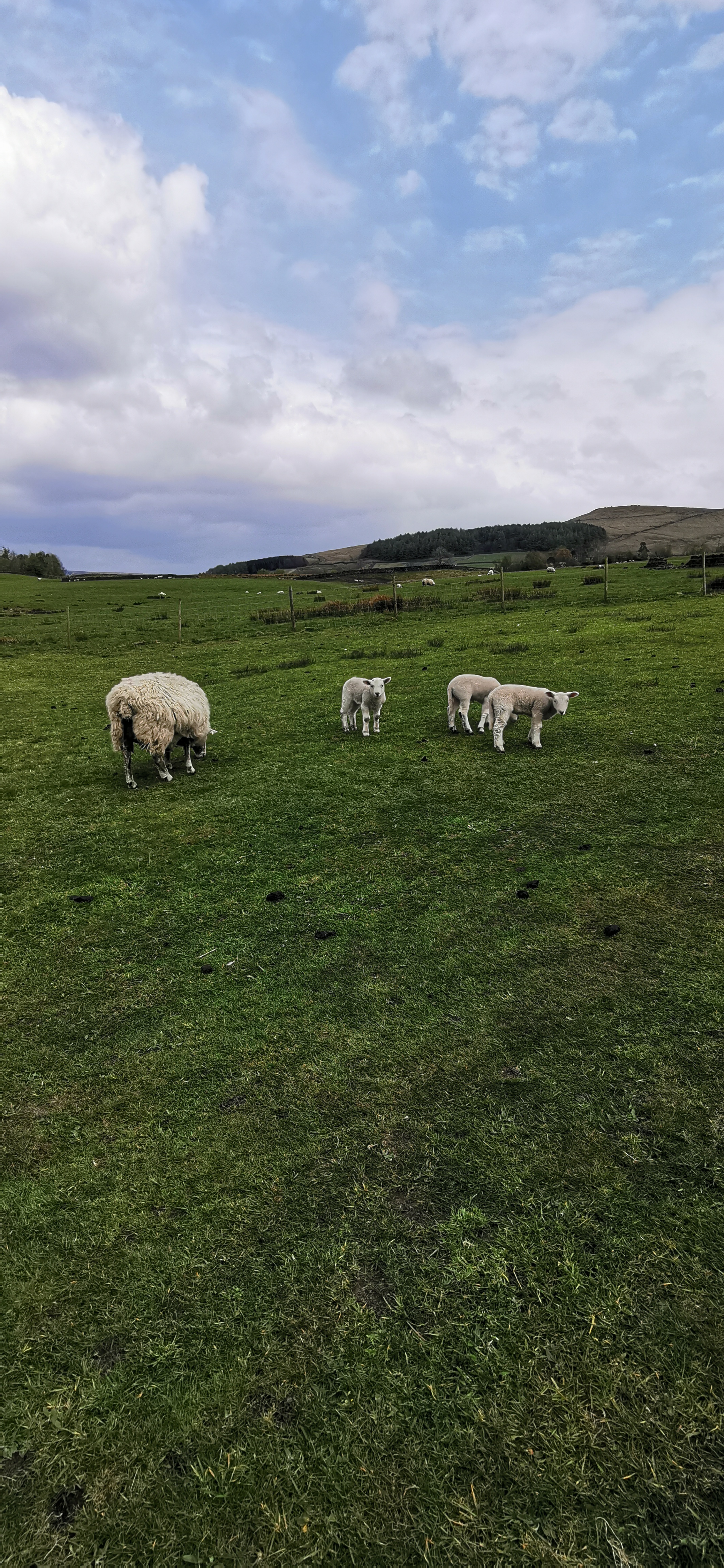
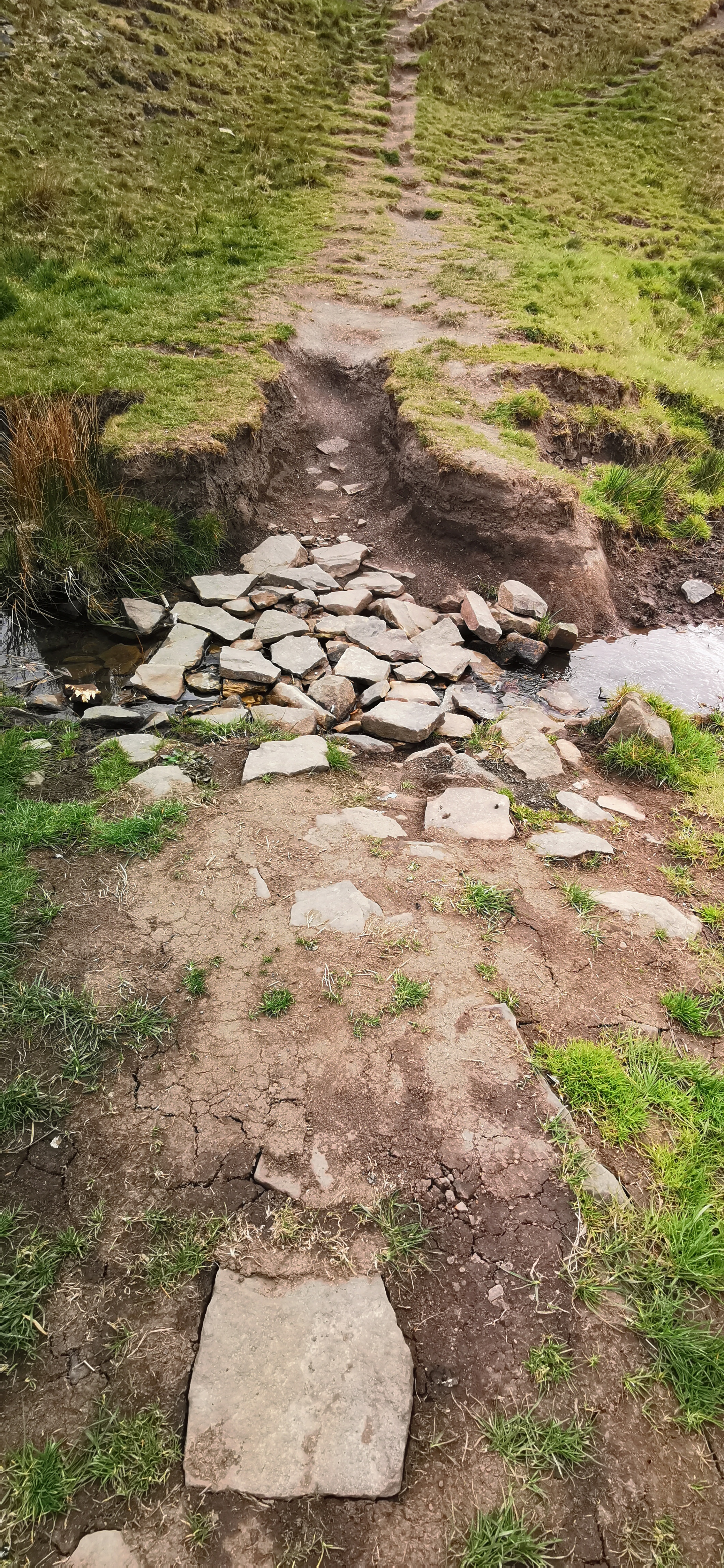
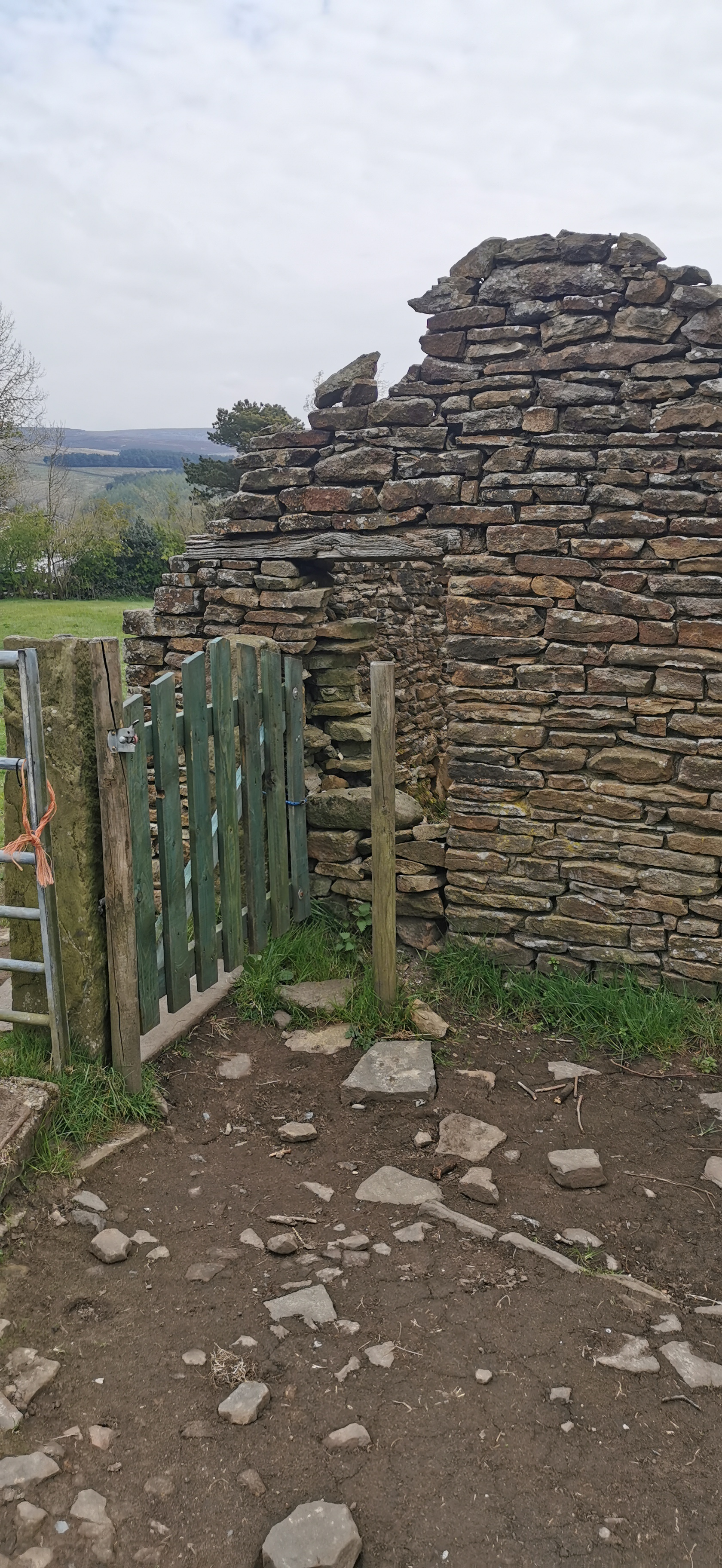
From Woodhead Road follow the footpath next to The Byre cottage, through a stonemason's yard towards a derelict building. Follow the dry-stone wall next to Glossop Cemetery and down the hill over the stream and follow the path over a few stiles toward Little Padfield.
Allmans Heath Cottages are now holiday lets, the converted Smithy has a grass heather and bilberry roof. The adjacent house is also a holiday let The Byre, a byre being a shelter for cows.


From Little Padfield, follow Little Padfield Road until you reach the footpath on your right. Follow the path over many stiles until you reach Padfield Main Road, turn left and the right to follow a track towards Bottoms Reservoir. Before the end on the track turn left over the stile and diagonally through the field until you reach the subway under the Longdendale Trail.
Little Padfield was mentioned in the Domesday Book of 1086. In the Domesday Book, Derbyshire was divided into the 6 wapentakes of Apultre, Hamestan, Littlechirch, Morlestan, Scarvedale, and Walecross, and a district called Peche-fers (Peak Forest). William the Conqueror was the tenant-in-chief of Little Padfield. The Farmhouse is Grade II listed and dates from the late 17th century, built of coursed millstone grit, with tooled dressings and stone slate roof. Stone stacks with watertabling.


From the Longdendale Trail under the subway, walk north west diagonally through the field until you reach a stile and a track next turn Bottoms Reservoir, turn left and follow the reservoir all the way round until you reach the pumping station.
The Longdendale Trail follows the route of the railway line from Manchester to Sheffield originally opened by the Sheffield, Ashton-under-Lyne and Manchester Railway. Woodhead station was opened on 8 April 1844 and closed on 27 July 1964 but the line remained open for passenger trains until 1970 and to freight traffic until 1981.


From Bottoms Reservoir cross the bridge near the pumping stations and up the steps towards a footpath and onto Bank Lane, walk down the lane, right onto New Road and after 60m there is footpath between the houses on your left. Follow this path west until you reach the green fence of the school and take the footpath on the left towards the river. Stay on the main path through the trees until you reach a small stream, cross the stream via the stepping stones and cross over the River Etherow using the footbridge, turn left and follow the path.
Bottoms Reservoir was constructed between 1865 and 1877, by John Frederick Bateman as part of the Longdendale chain to supply water from the River Etherow to the urban areas of Greater Manchester. When full it contains 3 million cubic metres of water equivalent to 1,200 Olympic swimming pools.


From the River Etherow follow the Trans Pennine Trail / NCN62, crossing over Woolley Bridge Road and follow the footpath back towards Woolley Lane.
The River Etherow rises in the Redhole Spring and Wike Head area of Pikenaze Moor in Derbyshire, the river broadens into the Longdendale Chain of reservoirs (Woodhead, Torside, Rhodeswood, Valehouse and Bottoms reservoirs). It emerges again in Tintwistle, at the foot of Bottoms Reservoir dam, later it is joined by Glossop Brook and flows into the River Goyt near Marple. Four miles downstream the River Goyt joins the Rive Tame and becomes the start of the River Mersey.


From Woolley Lane follow the footpath along the River Etherow, over the footbridge and follow the NCN62 signs through the woodland until you reach a junction where you can turn right and up through the trees towards Melandra Castle, follow the ruins round clockwise.
The Waterside Branch Line was built by the Manchester. Sheffield, and Lincolnshire Railway to serve the Waterside and Bridge mills of the well-known Sidebottom family and railway bridge used to span the main road at Woolley Bridge, the line closed in 1964 and the bridge dismantled in 1966.


From Melandra Castle turn right onto Melandra Castle Road, turn right at the allotments and follow the path onto Glossop Road turning right. Then just before the road bridge follow the track alongside the railway. Keep following the track through the gate and then a path until you reach the new house and the turn left to follow the track next to the River Etherow until you reach the viaduct over Long Lane.
Melandra Roman Fort whose footprint can be seen in the grass, was built around 75 AD as part of a chain of military outposts providing security across the Peak District. A railway goods branch line of the Manchester, Sheffield and Lincolnshire Railway used to follow what is now the footpath to Woolley Lane, it opened in 1879 and a viaduct span the area near Melandra Castle.


From Long Lane follow the bridleway zig-zagging up the hill and right and left to continue on the bridleway towards Gamesley Sidings passing under the brick arches of Glossop Road with the railway line from Manchester to Glossop & Hadfield on your left-hand side.
Broadbottom Bridge over the River Etherow was built in 1683 for transporting goods on pack horses, like salt from Cheshire, and wool from the Derbyshire farms. Broadbottom railway viaduct opened in 1842, originally of wooden construction supported by stone piers, the timber was replaced with wrought iron girders only 20 years later, they're now riveted steel girders. Best Mill occupied a spot by the river and Bankwood Print Works a bit further up the river.


Follow the track / bridleway from Gamesley Sidings, a 28 acre wildlife site made up of wet woodland forming part of the Pennine Bridleway and the Trans Pennine Trail towards Green Lane.
Gamesley Woodlands used to be a railway goods sidings and Dinting Goods Station occupied the spot where the line branched off to Waterside Mill. Under the bridge at Glossop Road there also used to be Mottram Yard Signal Box and Staff Halt, parts of the wood platform might still be hidden in the trees. The step up to the road are clearly visible but unsafe.


From Green Lane walk east towards Simmondley Lane and then right up the hill following the road around to the steps on your left just before the Hare & Hounds.
Green Lane has existed for over a hundred years and originally led to Gamesley Farm. Up to the late 1980s cows could be seen walking along Green Lane and up Simmondley Lane to the milking shed just past the Hare & Hounds.


From High Lane follow the steps up towards Old Lane near the Hare & Hounds pub. Turn left onto Old Lane and after about 100m, on the right you’ll see a stone stile and then some kissing gates. Head south, diagonally across and up the field until you reach a dry-stone wall and a stile. Over the stile follow the path through the gorse and then follow the stony track up the hill towards the fir tree plantation.
The Hare & Hounds pub was part of the original farming community with the adjacent farmhouse, barn and stables converted into houses. The date stone above the door reads 1784 and a "B" over "G & P" which relates to George & Peggy Booth, the first alehouse licensees.


From Whitley Nab and the corner of the fir tree plantation head east crossing over two styles until you reach the track, turn left and follow the track to a footpath on your right over a wall and through the trees, down some steps until you reach Charlestown Road and turn right.
The 4.5 acre pine tree plantation on Whitley Nab is 345m above sea level. The summit near Sitch Farm is about 380m. Kinder Scout is the highest point in the Peak District at 636m. According to OS Maps the gorse heath land is called Horse Clough.


From Chunal Lane follow the footpath next to and behind Moorfield Industries, follow the path with the stream on your right up the hill towards the gate and then along the country lane up the hill towards Kidd Road turn sharp right at the bench and the follow Kidd Road.
Casa D’Italia is an Italian restaurant, formerly The Whitley Nab and the Commercial opened in 1837. The house on the corner of Turnlee Road and Charlestown Road used to be the Drovers Arms dating back to 1824, a drover being a person who drives cattle or sheep.


From Kidd Road turn left into Derbyshire Level, walk along this road for 1.12km.
Moorfield Lodge, situated at the junction of Derbyshire Level & Kidd Road, is the old gatehouse to the Moorfield House Estate. Moorfield House was constructed in 1861 by a local mill owner, Daniel Hill-Wood. The property was used as a military hospital during World War 1 and after that a Roman Catholic seminary.


From Derbyshire Level simply follow the road past Glossop & District Golf Club and then Hurst Road until you reach Sheffield Road and the Royal Oak.
Derbyshire Level is an ancient road connecting Chunal to Sheffield Road, from Derbyshire Level there is a circular footpath of 8.4 km that takes in the peaks of Harry Hut (440m), Mill Hill (544m) and Moss Castle (536m).


From the Royal Oak walk along Pyegrove for only 155m and then through the woodland in a northerly direction until you reach the gate at the top of the hill. Follow the path down towards the footbridge over the brook and then left towards Shepley Street.
The Royal Oak alehouse was built by Joshua Shepley who gained the first alehouse license in 1818 the same year an act was passed to build a turnpike road from Glossop to Sheffield over the Snake. A turnpike being a road on which tolls or fees were collected for using it.


From the turning circle for the buses, follow Shepley Street to the Queens Arms pub and then through Old Glossop up Church Street and Well Gate and then Dunne Road between the Bulls Head and the Wheatsheaf. Turn left onto Blachshaw Road and then right onto Bute Street walking north east towards Blackshaw Clough.
From Shepley Street you can also walk along Doctor's Gate up to the Pennine Way, Dog Rock, Hern Stones, Higher Shelf Stones and the wreckage of the B-29 Super-fortress "Over Exposed" which crashed here there 1948 killing the 13 members of the crew.


From Bute Street follow Blackshaw Clough up the hill until you reach a small bridge over the stream. Follow the path up the hill, through the small woodland up to Swineshaw Reservoir.
The Wheatsheaf dates from 1824 when Robert Shaw obtained a lease. The Bulls Head is the oldest public house in Glossop with parts of the building dating back to 1607. The old cross column is said to date from 1290 with the top added in 1912 to mark the accession of King George V in 1910. The Queens Arms was built by William Robinson a cotton manufacturer in 1825, name after Queen Victoria when an alehouse licence was given in 1837, the year of her ascension to the crown.


From Swinshaw Reservoir follow the dry-stone wall, clockwise around the reservoir and then follow another dry-stone wall west towards Woodhead Road and Allmans Heath cottages.
Swineshaw Reservoir was one of three reservoirs proposed by the "Glossop Commissioners", 50 local mill owners and gentlemen in 1837, it was adapted in 1864 by the Glossop Water Company to provide drinking water for Glossop and taken over by the Glossop Corporation Waterworks in 1929 and then the Manchester Corporation Waterworks in 1959. It is no longer in service.



Please let us know if you spot any issues along the route or any errors in the directions.
Please let us know if you would like support, donate or sponsor this project.